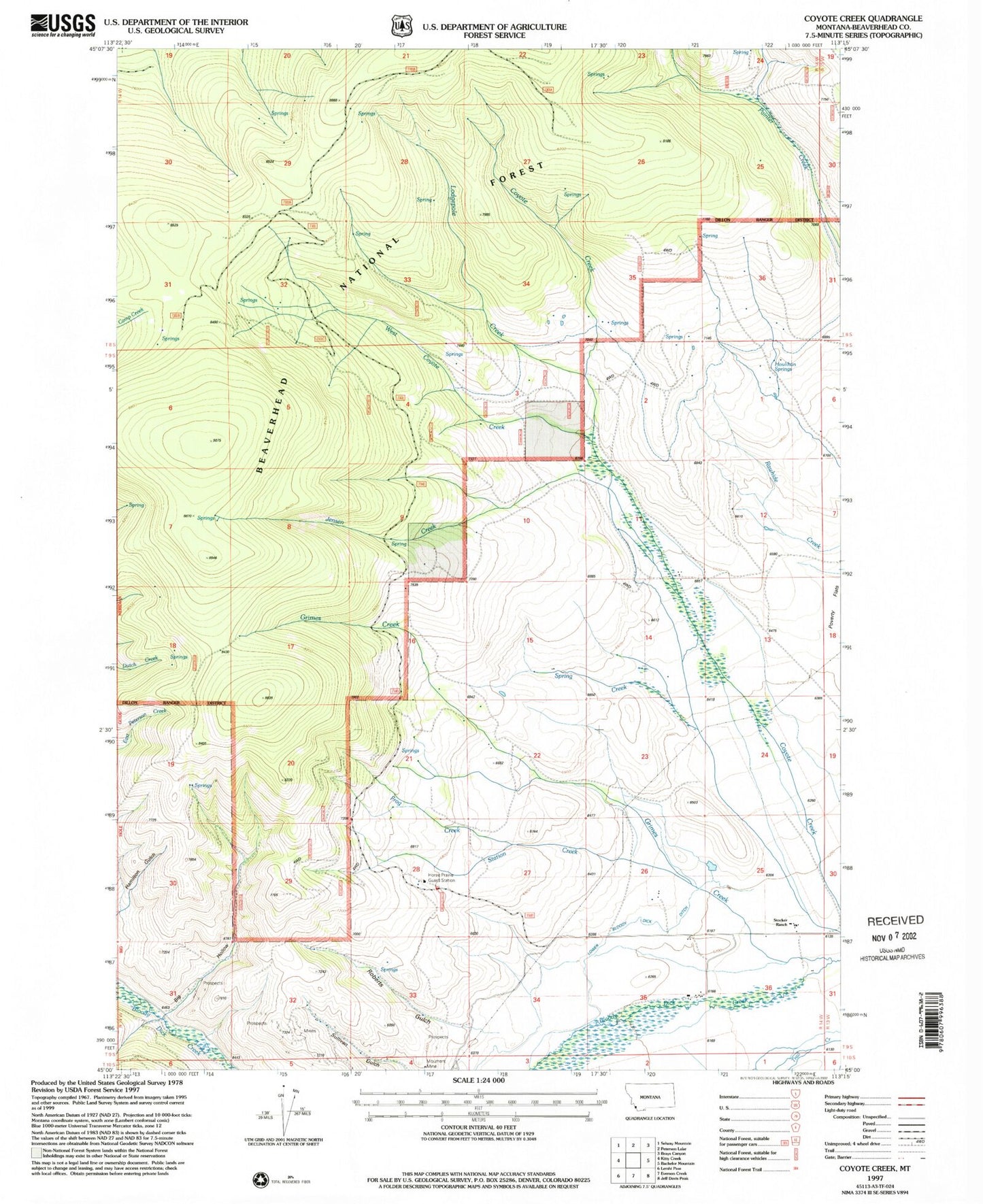
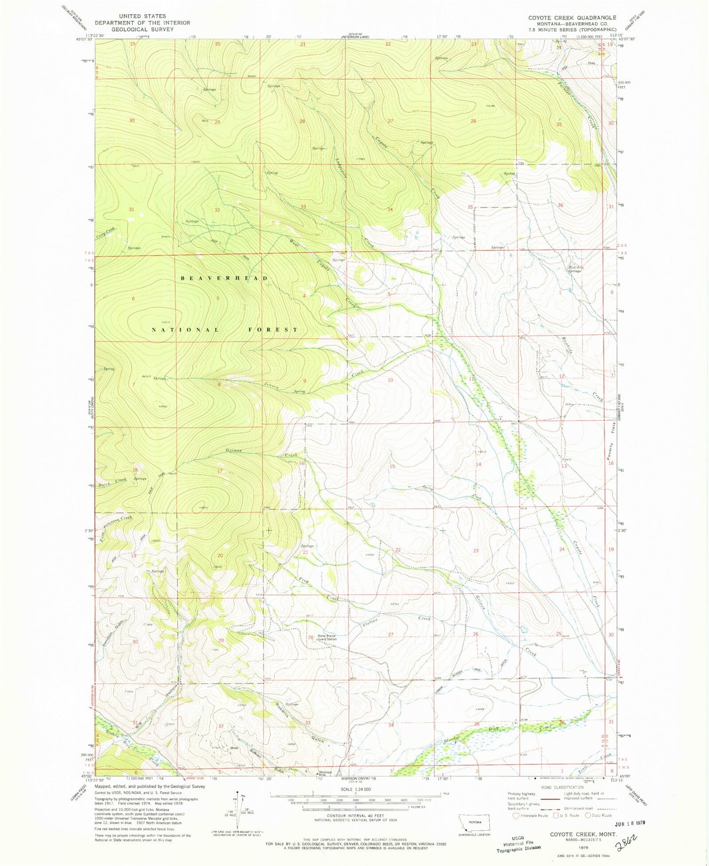
MyTopo
Classic USGS Coyote Creek Montana 7.5'x7.5' Topo Map
Couldn't load pickup availability
Historical USGS topographic quad map of Coyote Creek in the state of Montana. Map scale may vary for some years, but is generally around 1:24,000. Print size is approximately 24" x 27"
This quadrangle is in the following counties: Beaverhead.
The map contains contour lines, roads, rivers, towns, and lakes. Printed on high-quality waterproof paper with UV fade-resistant inks, and shipped rolled.
Contains the following named places: 09S14W25DDCB01 Well, 09S14W25DDCC01 Well, Big Hollow, Frog Creek, Grimes Creek, Horse Prairie Guard Station, Houlihan Springs, Jensen Creek, Jung Fraction Mine, Lodgepole Creek, Lower Bloody Dick Ditch, Monument Mine, Moument Mine, NE NE Section 4 Mine, Poverty Flats, Roberts Gulch, South Fork Roberts Gulch Mine, Station Creek, Stocker Ranch, Sunshine Mine, West Coyote Creek