MyTopo
Classic USGS Crain Place Montana 7.5'x7.5' Topo Map
Couldn't load pickup availability
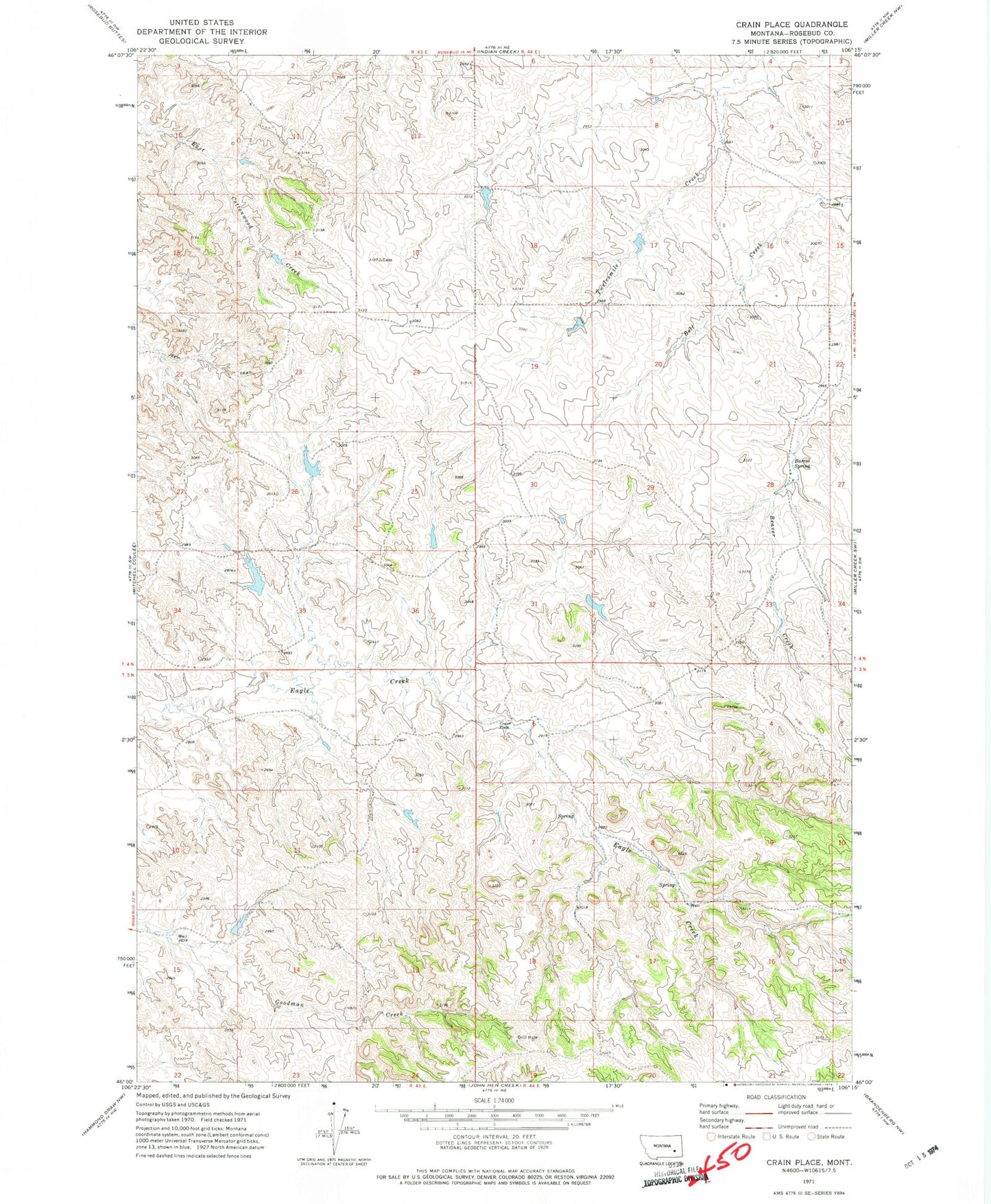
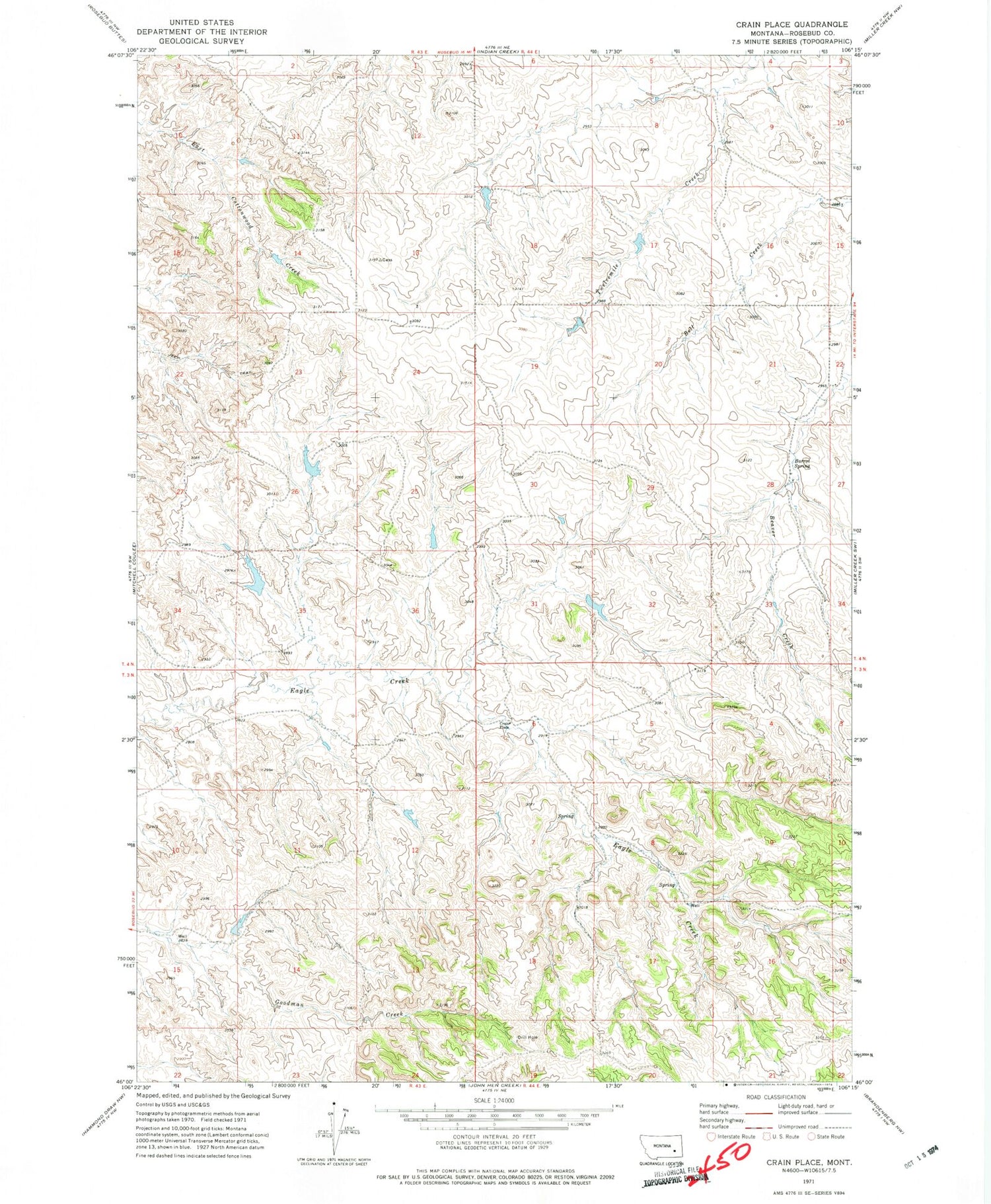
Historical USGS topographic quad map of Crain Place in the state of Montana. Map scale may vary for some years, but is generally around 1:24,000. Print size is approximately 24" x 27"
This quadrangle is in the following counties: Rosebud.
The map contains contour lines, roads, rivers, towns, and lakes. Printed on high-quality waterproof paper with UV fade-resistant inks, and shipped rolled.
Contains the following named places: 03N43E01AACA01 Spring, 03N43E03ACCB01 Well, 03N43E15BADD01 Well, 03N44E06BDCD01 Well, 03N44E07ADBA01 Spring, 03N44E08DCAC01 Spring, 03N44E17AABB01 Well, 03N44E18AABA01 Well, 04N43E24BAAD01 Well, 04N44E28ACAA01 Spring, 04N44E28ACDD01 Well, 04N44E29CCAC01 Well, 04N44E32DDDA01 Well, Barrot Spring, Beaver Creek, Clark Number 2 Dam, Crain Place, Dunning Number 1 Dam, Dunning Number 2 Dam, Lincoln School, Mees Number 1 Dam, Sweeney Post Office