
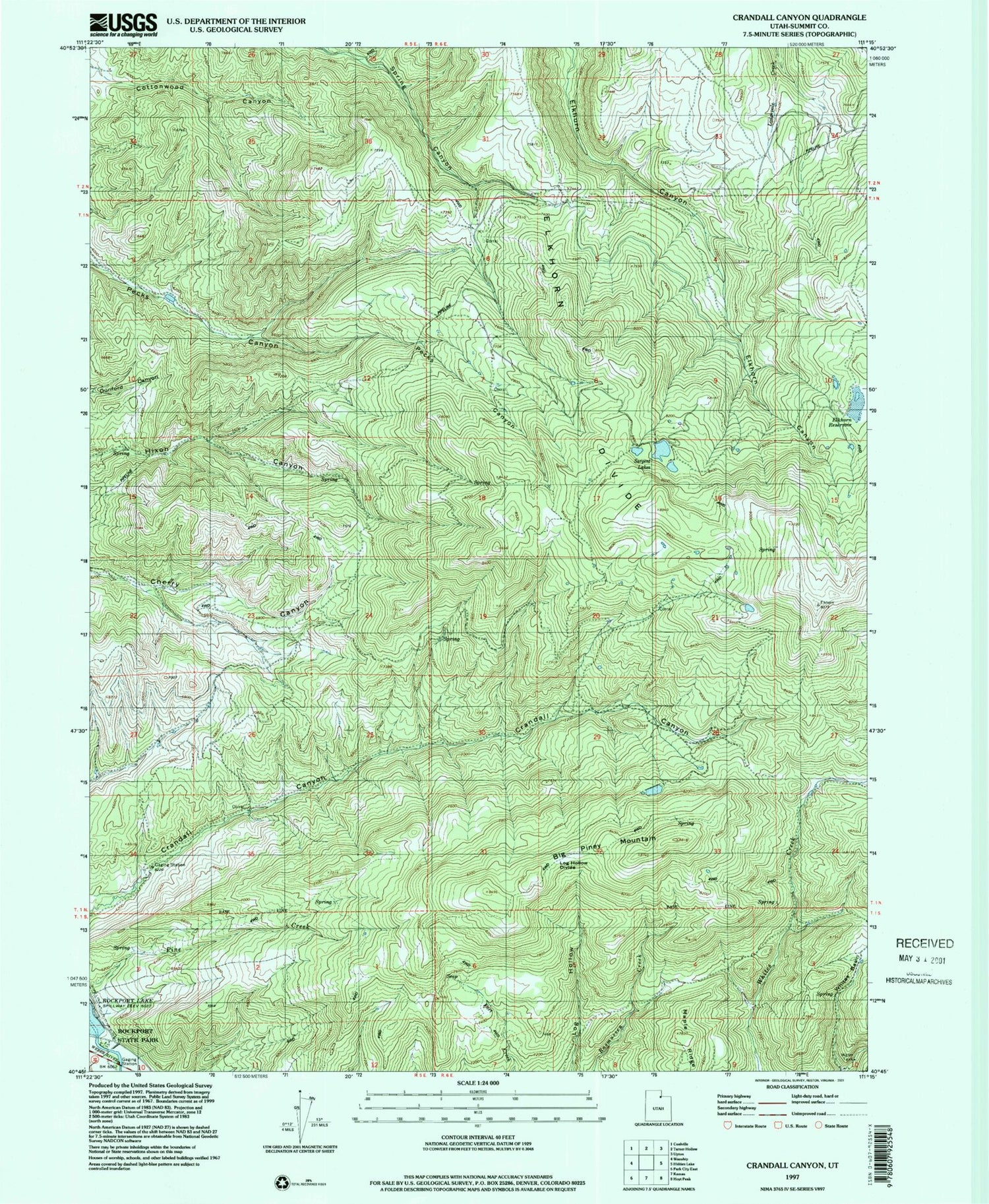
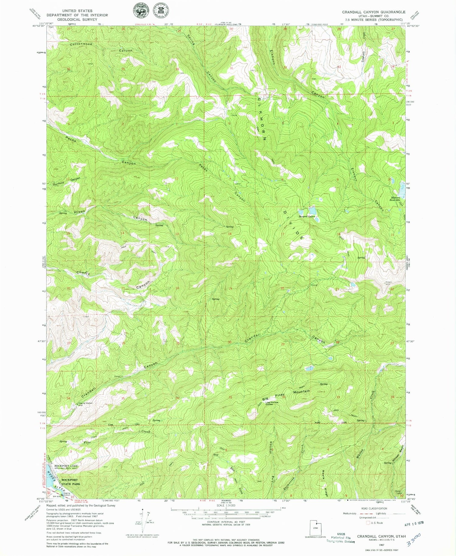
MyTopo
Classic USGS Crandall Canyon Utah 7.5'x7.5' Topo Map
Regular price
$16.95
Regular price
Sale price
$16.95
Unit price
per
Couldn't load pickup availability
Historical USGS topographic quad map of Crandall Canyon in the state of Utah. Map scale may vary for some years, but is generally around 1:24,000. Print size is approximately 24" x 27"
This quadrangle is in the following counties: Summit.
The map contains contour lines, roads, rivers, towns, and lakes. Printed on high-quality waterproof paper with UV fade-resistant inks, and shipped rolled.
Contains the following named places: Area C Recreation Site, Big Piney Mountain, Elkhorn Divide, Elkhorn Reservoir, Hixon Canyon Wildlife Management Area, Log Hollow Divide, Maple Ridge, Sargent Lakes, Sargent Number One Dam, Sargent Number One Reservoir, ZIP Code: 84061


