MyTopo
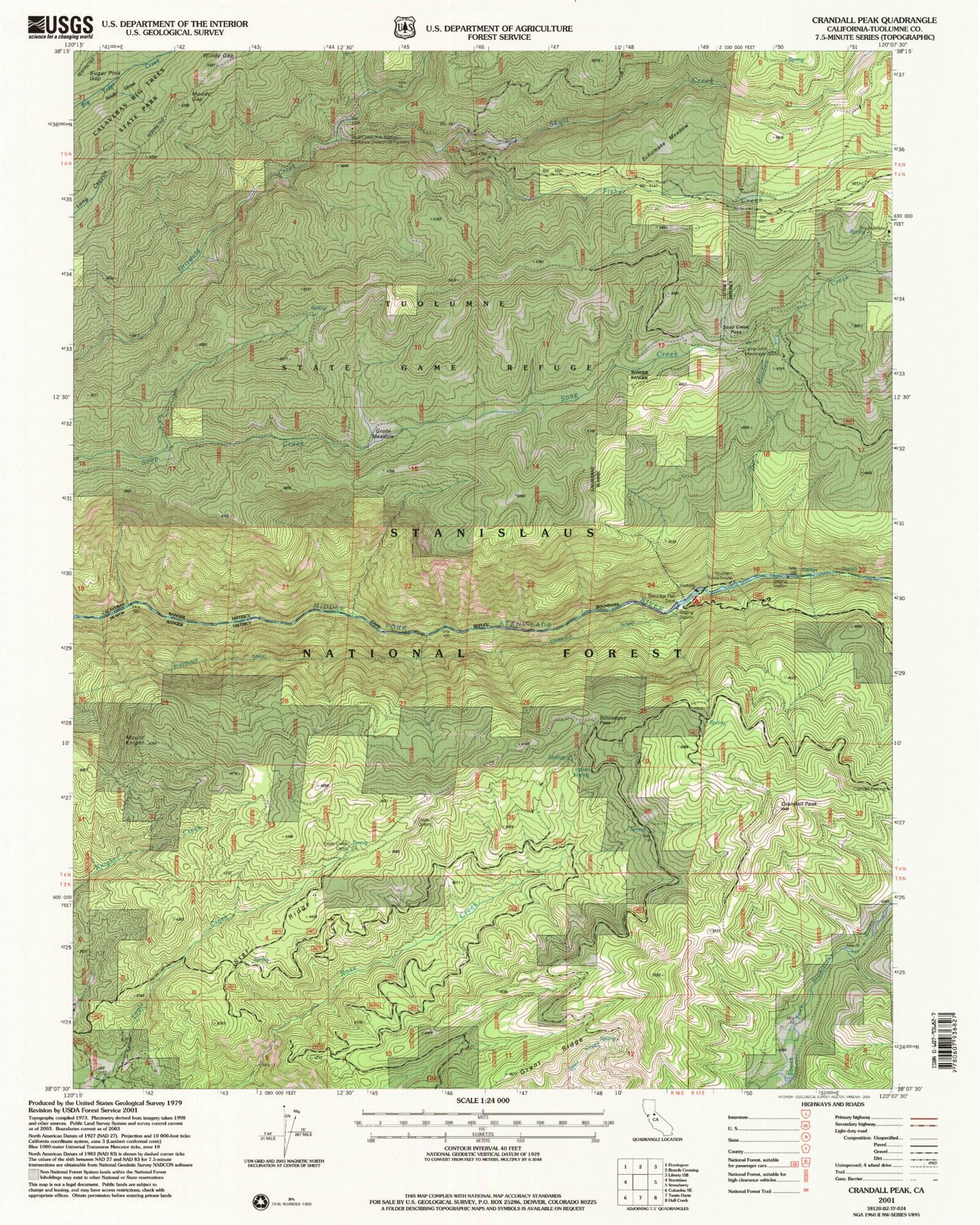
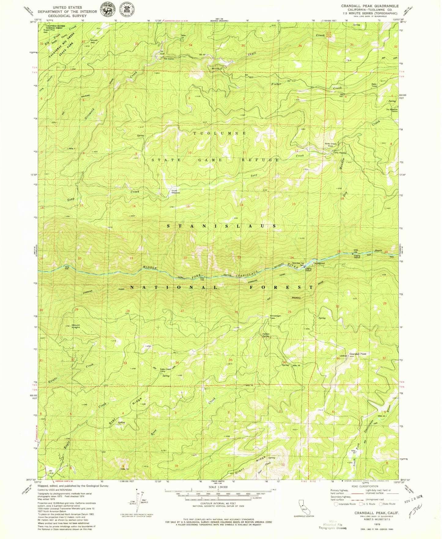
Classic USGS Crandall Peak California 7.5'x7.5' Topo Map
Couldn't load pickup availability
Historical USGS topographic quad map of Crandall Peak in the state of California. Map scale may vary for some years, but is generally around 1:24,000. Print size is approximately 24" x 27"
This quadrangle is in the following counties: Tuolumne.
The map contains contour lines, roads, rivers, towns, and lakes. Printed on high-quality waterproof paper with UV fade-resistant inks, and shipped rolled.
Contains the following named places: Calaveras South Grove Natural Preserve, Camp John Mensinger Boy Scout Camp, Camp Pendola, Crandall Peak, Department of Forestry and Fire Protection Skull Creek, Dry Meadow Creek, Dry Meadow Station, Eagle Creek Camp, Fisher Creek, Grant Ridge, Grohl Meadow, Indian Spring, Moody Gap, Mount Knight, Sand Bar Flat Campground, Sand Bar Flat Dam, Schoettgen Pass, Schumake Meadow, Skull Creek, Skull Creek California Division Forestry Fire Station, Soap Creek Pass, South Grove, Star Ridge, Tunnel Creek, Tuolumne State Game Refuge, Windy Gap


