MyTopo
Classic USGS Crane Islands SW Texas 7.5'x7.5' Topo Map
Regular price
$16.95
Regular price
Sale price
$16.95
Unit price
per
Couldn't load pickup availability
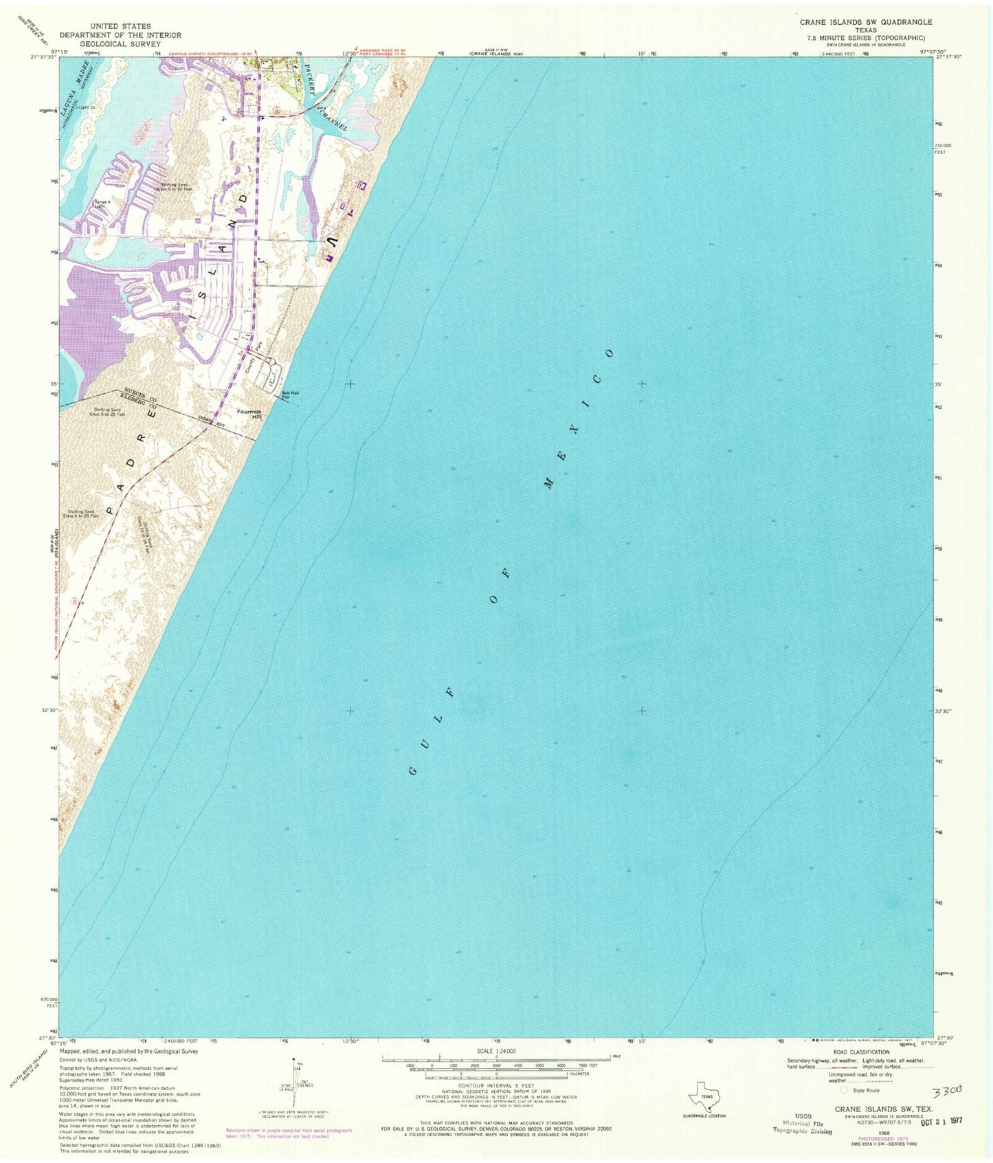
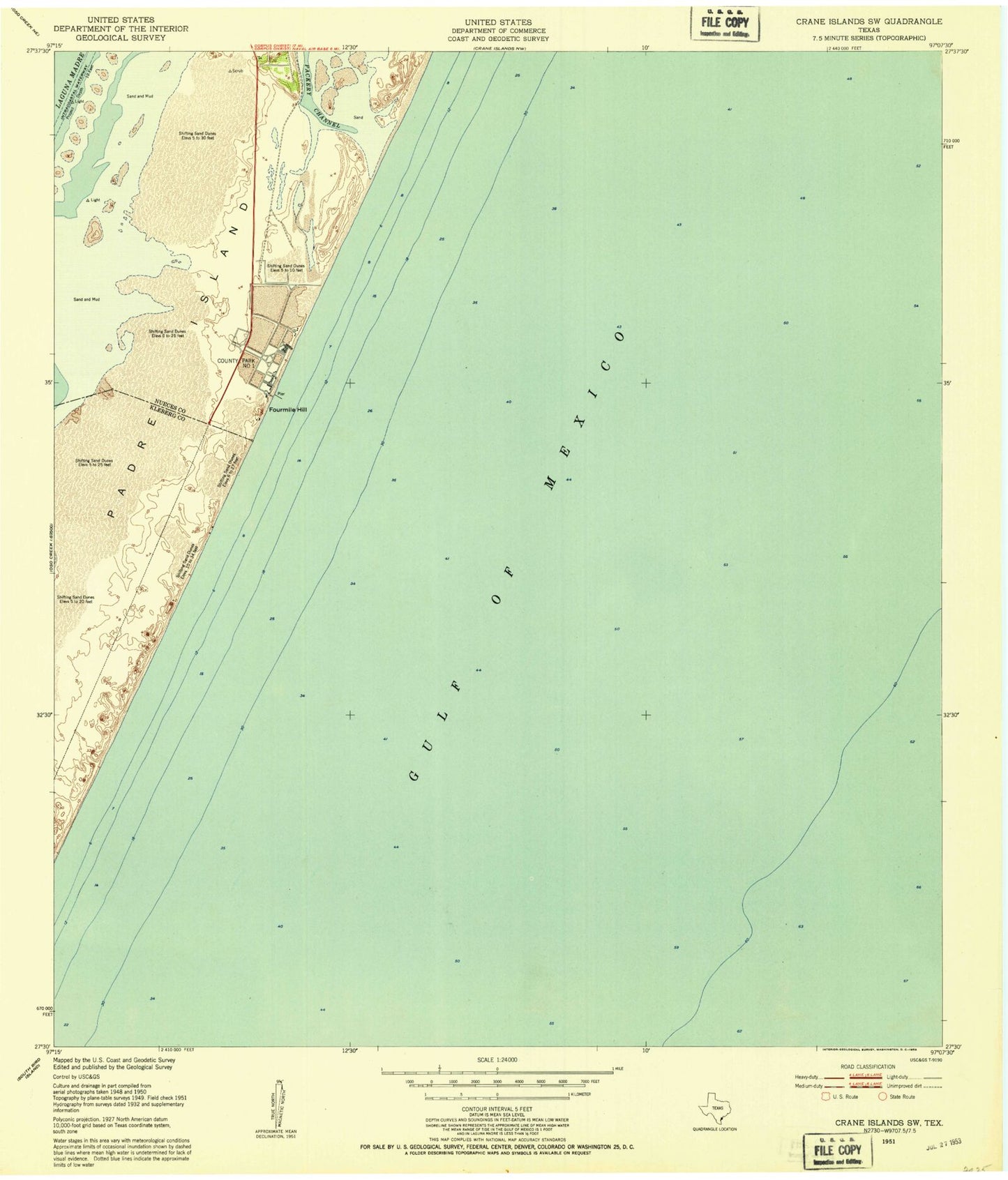
Historical USGS topographic quad map of Crane Islands SW in the state of Texas. Map scale may vary for some years, but is generally around 1:24,000. Print size is approximately 24" x 27"
This quadrangle is in the following counties: Kleberg, Nueces.
The map contains contour lines, roads, rivers, towns, and lakes. Printed on high-quality waterproof paper with UV fade-resistant inks, and shipped rolled.
Contains the following named places: Bob Hall Pier, Corpus Christi Fire Department Station 15, Fourmile Hill, Island Presbyterian Church, Light Twentyone, Packery Channel, Padre Bali Park, Range A Light, Saint Andrew by the Sea Catholic Church, Seashore Learning Center