MyTopo
Classic USGS Crane NE Montana 7.5'x7.5' Topo Map
Regular price
$16.95
Regular price
Sale price
$16.95
Unit price
per
Couldn't load pickup availability
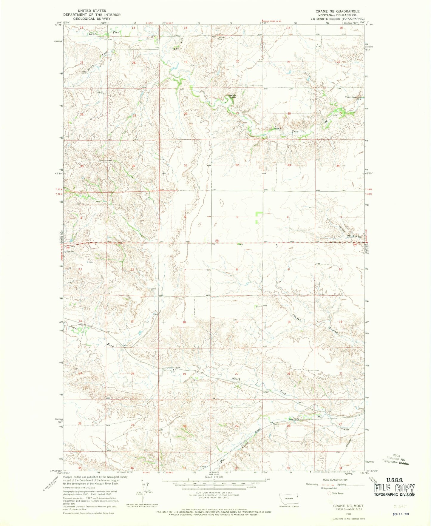
Historical USGS topographic quad map of Crane NE in the state of Montana. Map scale may vary for some years, but is generally around 1:24,000. Print size is approximately 24" x 27"
This quadrangle is in the following counties: Richland.
The map contains contour lines, roads, rivers, towns, and lakes. Printed on high-quality waterproof paper with UV fade-resistant inks, and shipped rolled.
Contains the following named places: 22N58E06BABD01 Well, 22N58E07DCCD01 Well, 22N58E10CCCC01 Well, 22N58E19BDCB01 Well, 23N58E19BABB01 Well, 23N58E22CC__01 Well, 23N58E33ADAC01 Well, North Fork Fox Creek, North Fork Lone Tree Creek, South Fork Lone Tree Creek