
MyTopo
Classic USGS Crane NW Montana 7.5'x7.5' Topo Map
Regular price
$16.95
Regular price
Sale price
$16.95
Unit price
per
Couldn't load pickup availability
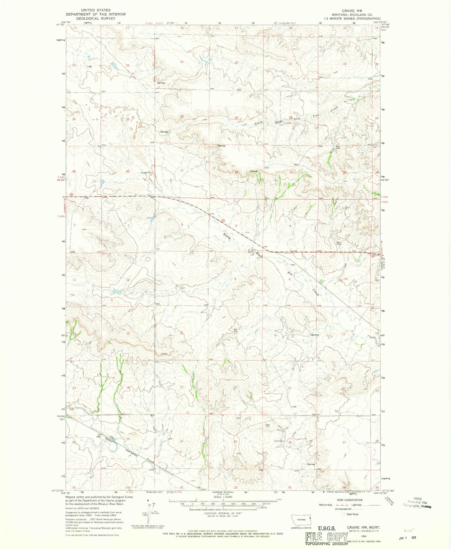
Historical USGS topographic quad map of Crane NW in the state of Montana. Map scale may vary for some years, but is generally around 1:24,000. Print size is approximately 24" x 27"
This quadrangle is in the following counties: Richland.
The map contains contour lines, roads, rivers, towns, and lakes. Printed on high-quality waterproof paper with UV fade-resistant inks, and shipped rolled.
Contains the following named places: 22N56E02DBBB01 Well, 22N56E12CADC01 Well, 22N57E07CADA01 Well, 22N57E17ACCB01 Well, 22N57E20BDCC01 Well, 22N57E21DCBC01 Well, 22N57E27CDBD01 Well, 22N58E03CDBD01 Well, 23N57E22DDDA01 Well, Gettysburg


