MyTopo
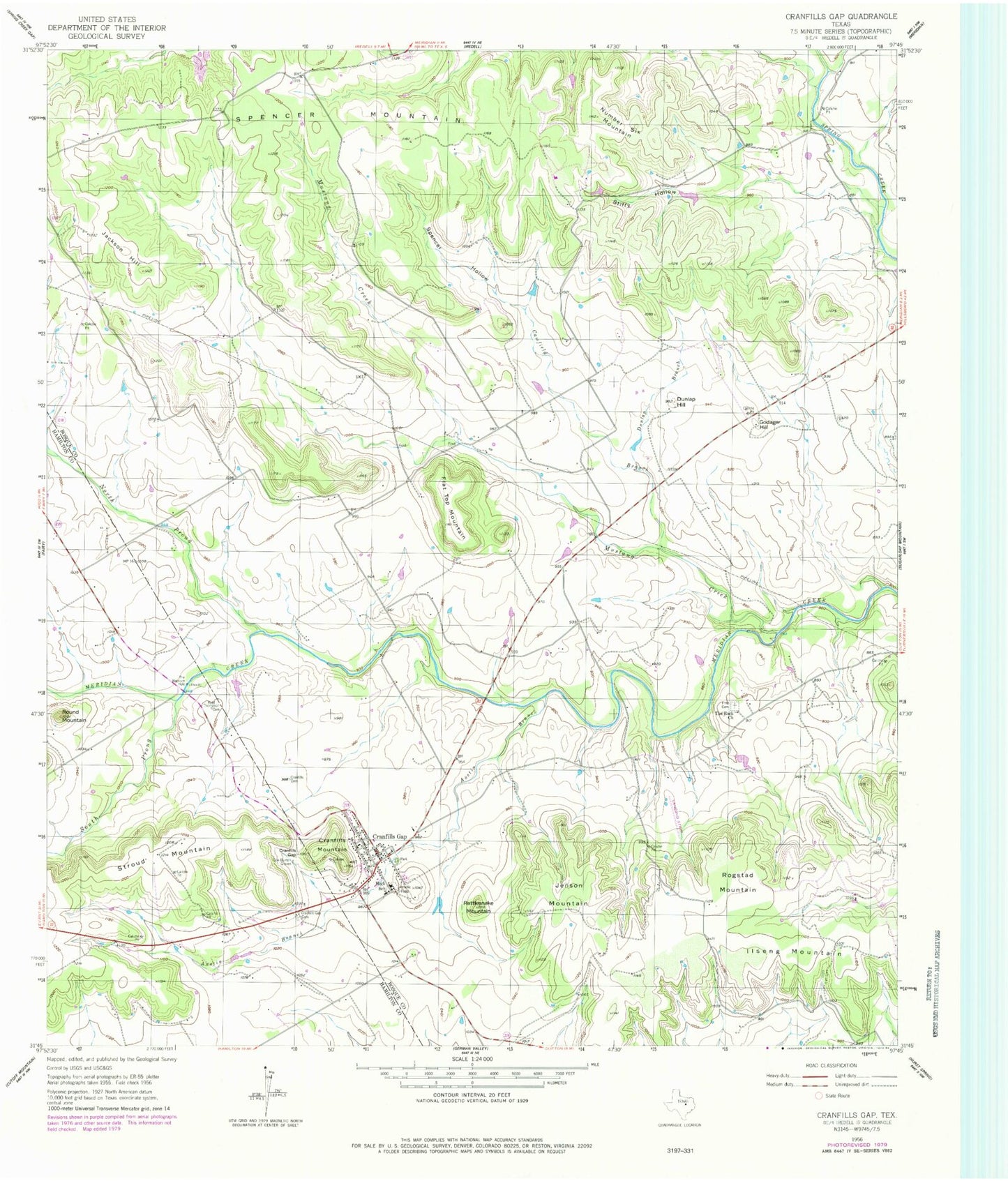
Classic USGS Cranfills Gap Texas 7.5'x7.5' Topo Map
Couldn't load pickup availability
Historical USGS topographic quad map of Cranfills Gap in the state of Texas. Map scale may vary for some years, but is generally around 1:24,000. Print size is approximately 24" x 27"
This quadrangle is in the following counties: Bosque, Hamilton.
The map contains contour lines, roads, rivers, towns, and lakes. Printed on high-quality waterproof paper with UV fade-resistant inks, and shipped rolled.
Contains the following named places: Adolf and Christine Godager Homesite, Austin Branch, Cade Field, Camfield Branch, City of Cranfills Gap, Cox-Burton Graves, Cranfills Cemetery, Cranfills Gap, Cranfills Gap Cemetery, Cranfills Gap Division, Cranfills Gap Post Office, Cranfills Gap Volunteer Fire Department, Cranfills Mountain, Dunlap Branch, Dunlap Hill, Flat Top Mountain, Francis Ranch Airport, Godager Hill, Ilseng Mountain, Jackson Hill, Jenson Mountain, John Pederson Farm, Kidd Thompson Cemetery, Luth Cemetery, Mustang Creek, Nixon Public Library, North Prong Meridian Creek, Number Six Mountain, Parrish Airstrip, Pierson Spring, Rattlesnake Mountain, Rogstad Mountain, Round Mountain, South Prong Meridan Creek, Spencer Hollow, Spencer Mountain, Stiffy Hollow, The Baptism Hole, The Rock Church, Tom and Martha Rogstad Farm, Upper Settlement Rural Historic District, ZIP Code: 76637


