MyTopo
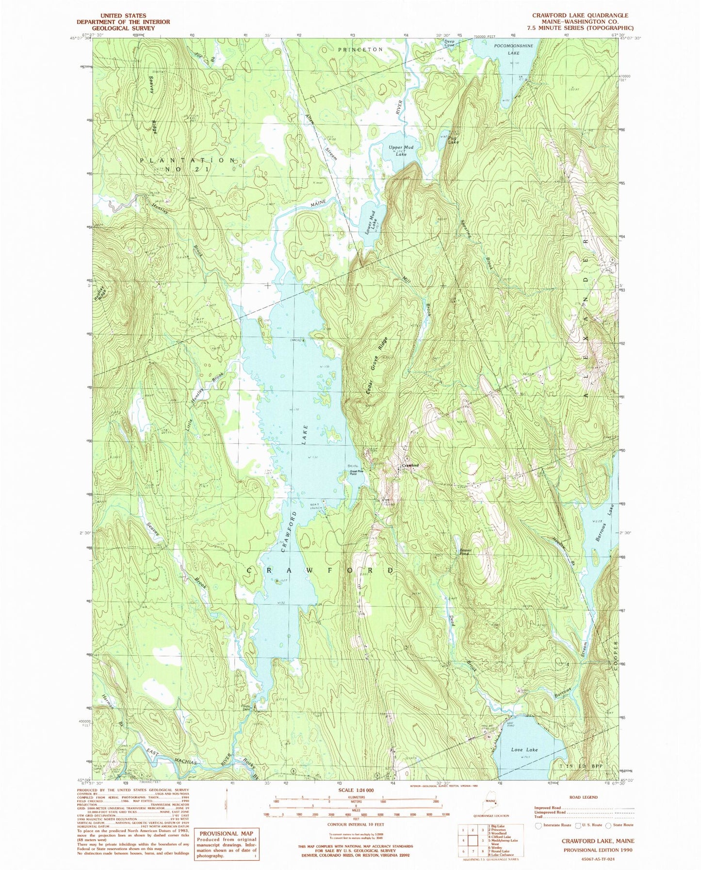
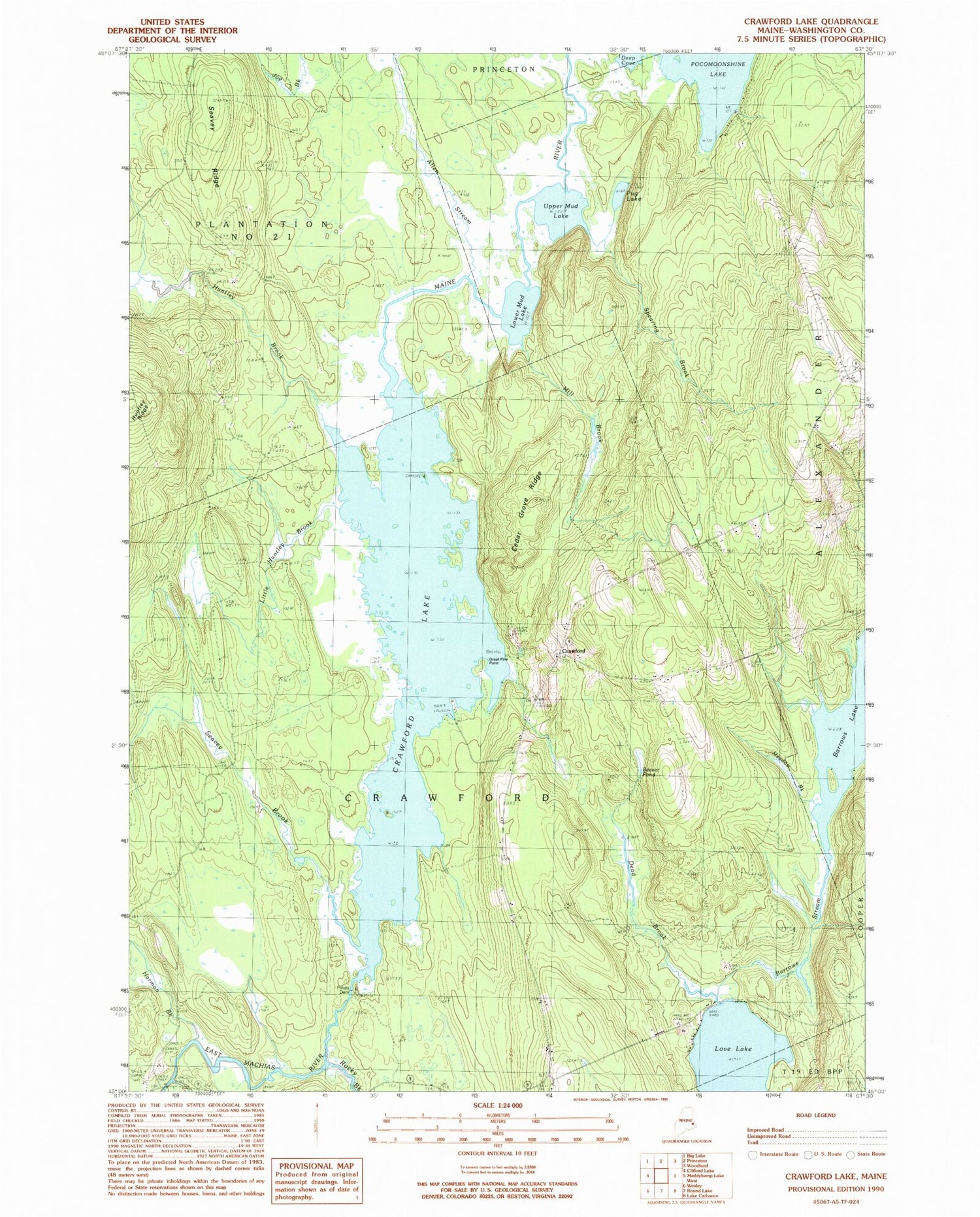
Classic USGS Crawford Lake Maine 7.5'x7.5' Topo Map
Couldn't load pickup availability
Historical USGS topographic quad map of Crawford Lake in the state of Maine. Typical map scale is 1:24,000, but may vary for certain years, if available. Print size: 24" x 27"
This quadrangle is in the following counties: Washington.
The map contains contour lines, roads, rivers, towns, and lakes. Printed on high-quality waterproof paper with UV fade-resistant inks, and shipped rolled.
Contains the following named places: Allen Stream, Barrows Stream, Beaver Pond, Cedar Grove Ridge, Crawford Lake, Dead Brook, Great Pine Point, Harmon Brook, Huntley Brook, Little Huntley Brook, Lower Mud Lake, Maine River, Meadow Brook, Mill Brook, Old Crawford Cemetery, Pocomoonshine Lake, Pokey Dam, Pug Lake, Seavey Brook, Seavey Ridge, Spearing Brook, Upper Mud Lake, Crawford, Barrows Lake, Town of Crawford, Barrows Lake Dam, Baltic Island


