MyTopo
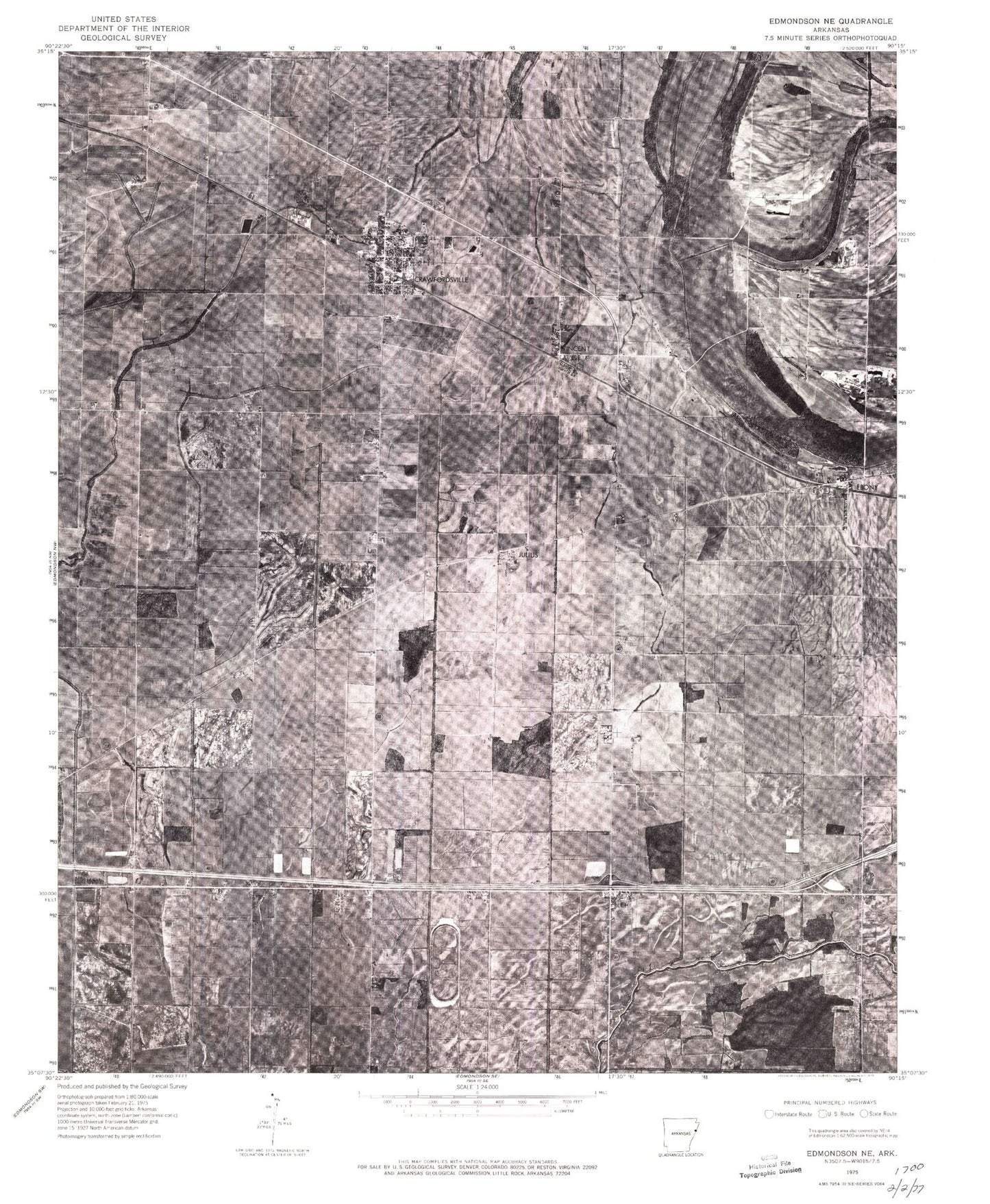
Classic USGS Crawfordsville Arkansas 7.5'x7.5' Topo Map
Couldn't load pickup availability
Historical USGS topographic quad map of Crawfordsville in the state of Arkansas. Typical map scale is 1:24,000, but may vary for certain years, if available. Print size: 24" x 27"
This quadrangle is in the following counties: Crittenden.
The map contains contour lines, roads, rivers, towns, and lakes. Printed on high-quality waterproof paper with UV fade-resistant inks, and shipped rolled.
Contains the following named places: Burning Bush Church, Corinthian Cemetery, Corinthian Church, Ebenezer Church, Ebony School, Garant Bayou, Jackson Chapel, Lehi School, Mays Cemetery, McNeil School, Mount Zion Church, New Lehi Church, Raspberry Cemetery, Reynold Grove Church, Roberta Island School, Saint Johns Cemetery, Saint Johns Church, Saint Stephens Cemetery, Shiloh Cemetery, Shiloh Church, Solomon's Temple Church, Trexler Cemetery, Crawfordsville, Julius, Lehi, Vincent, Bethel Cemetery, Crawfordsville Elementary School, Crawfordsville High School, Cunningham Corner, Township of Jackson, Crittenden County, Mount Olive Church (historical), Alligator Bayou, Ebony, Vincent Cemetery, Ditch Number 10, Ditch Number 10, Ditch Number 11, Ditch Number 12, Ditch Number 14, Ditch Number 15, Ditch Number 16, Ditch Number 18, Ditch Number 18, Ditch Number 19, Ditch Number 5, Ditch Number 5, Ditch Number 9, Solomons Temple School (historical), Crawfordsville Volunteer Fire Station, Town of Crawfordsville, Crittenden County Landfill, Crawfordsville Post Office


