MyTopo
Classic USGS Creedmoor Texas 7.5'x7.5' Topo Map
Couldn't load pickup availability
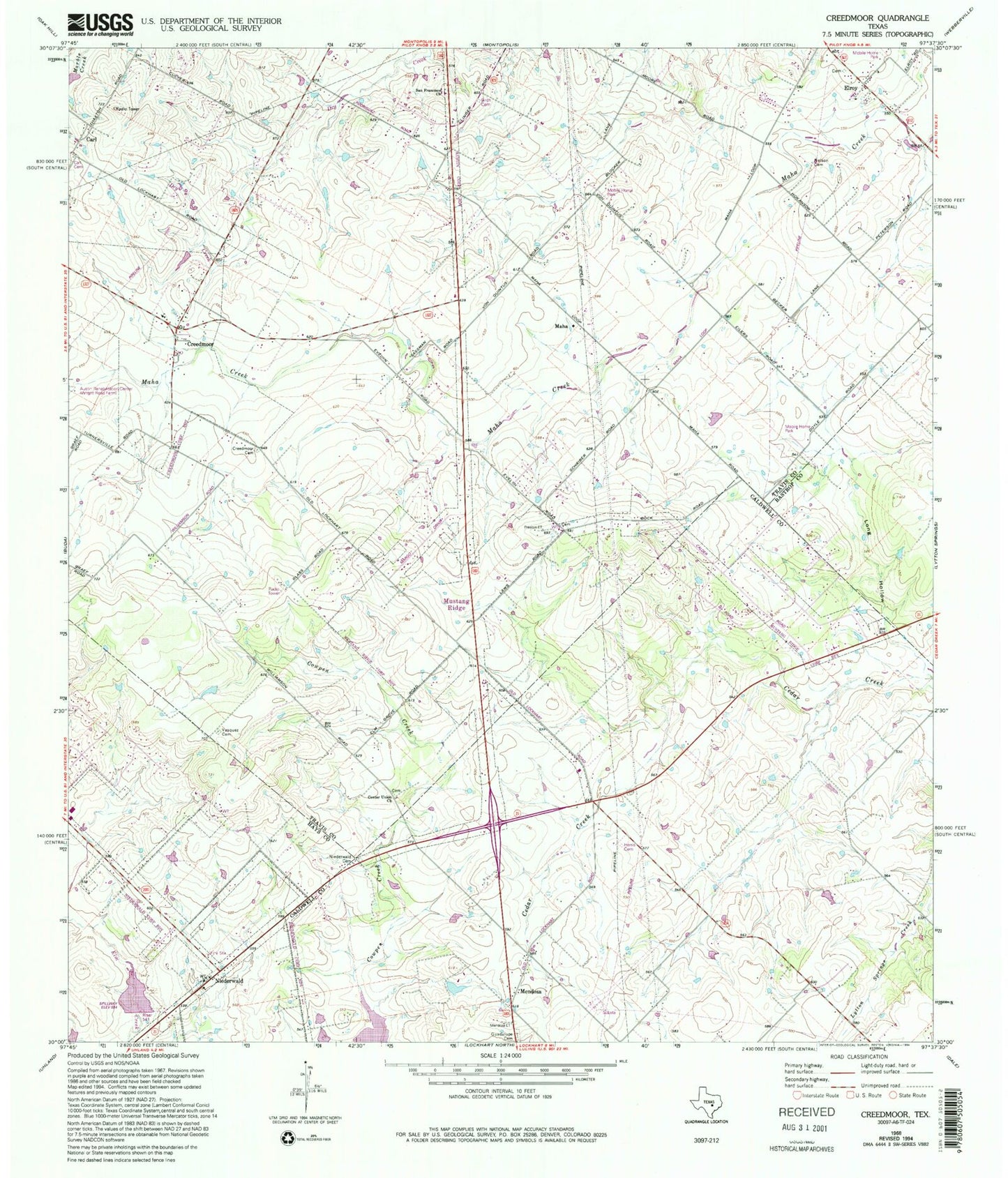
Historical USGS topographic quad map of Creedmoor in the state of Texas. Map scale may vary for some years, but is generally around 1:24,000. Print size is approximately 24" x 27"
This quadrangle is in the following counties: Bastrop, Caldwell, Hays, Travis.
The map contains contour lines, roads, rivers, towns, and lakes. Printed on high-quality waterproof paper with UV fade-resistant inks, and shipped rolled.
Contains the following named places: Carl, Carl Cemetery, Center Union Church, Chisholm Trail Fire and Rescue Station 1, Chisholm Trail Fire and Rescue Station 2, City of Creedmoor, City of Mustang Ridge, Clark Lake, Clark Lake Dam, Creedmoor, Creedmoor Cemetery, Elroy, Guadalupe Cemetery, Hays County Sheriff's Office Niederwald Substation, Jim Roach Field Airport, KGTN-AM (Creedmoor), Long Hollow, Maha, Mendoza, Mustang Ridge, Mustang Ridge Police Department, Nelson Cemetery, Niederwald, Niederwald Cemetery, Niederwald City Hall, Pleasant Valley Baptist Church, San Francisco Catholic Church, San Francisco Church, Soil Conservation Service Site 16 Dam, Soil Conservation Service Site 16 Reservoir, Soil Conservation Service Site 17 Dam, Soil Conservation Service Site 17 Reservoir, Southeast Baptist Church, Travis County Fire Rescue Emergency Services District 11 Station 1, Travis County Fire Rescue Emergency Services District 11 Station 2, Vasquez Cemetery