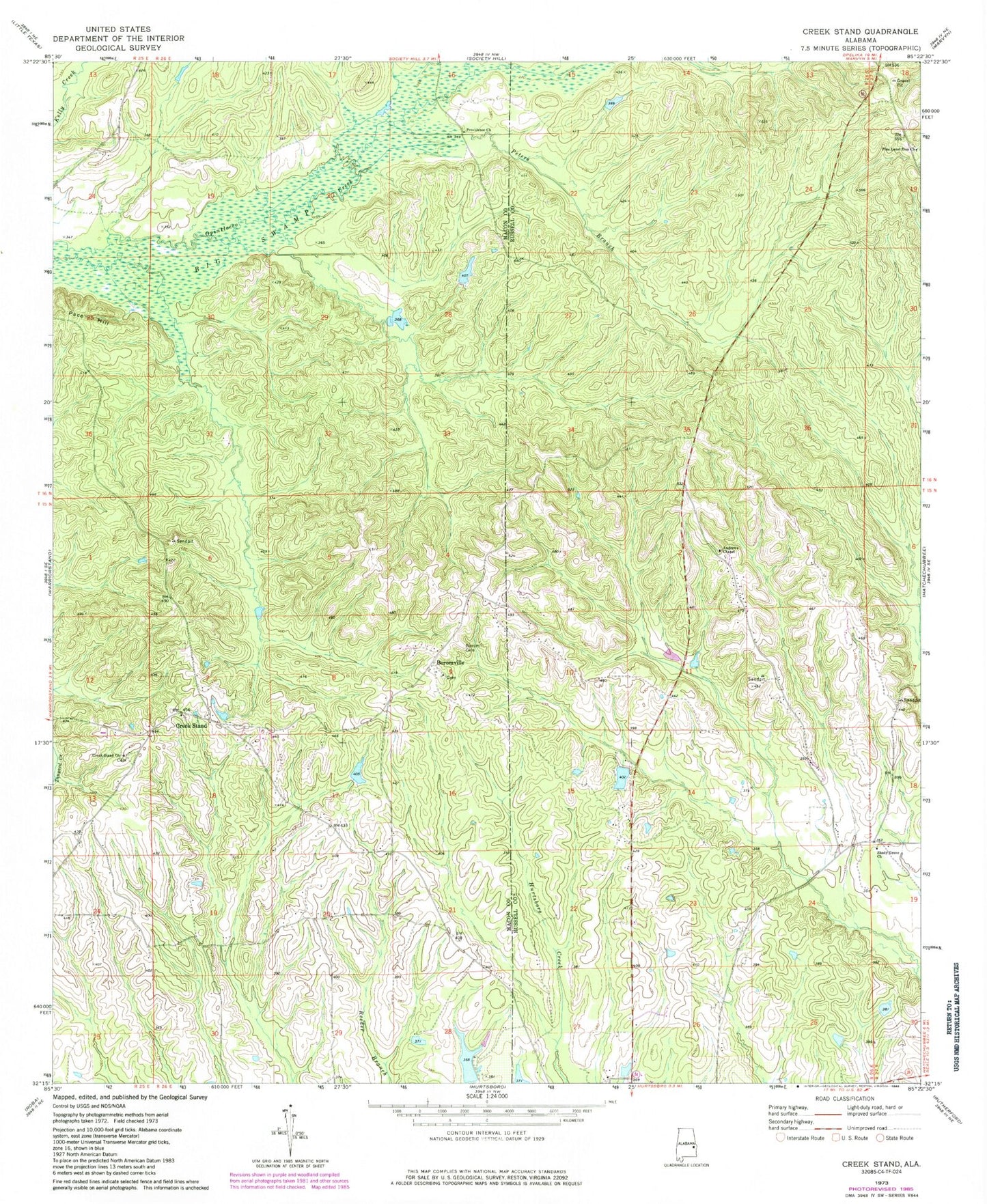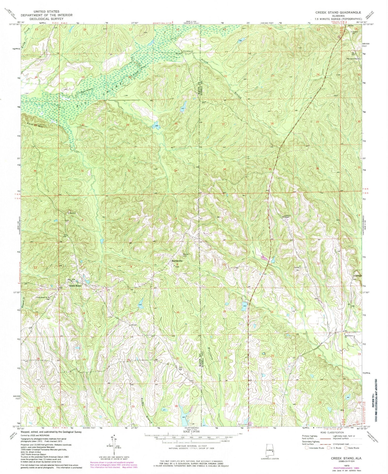
MyTopo
Classic USGS Creek Stand Alabama 7.5'x7.5' Topo Map
Couldn't load pickup availability
Historical USGS topographic quad map of Creek Stand in the state of Alabama. Map scale may vary for some years, but is generally around 1:24,000. Print size is approximately 24" x 27"
This quadrangle is in the following counties: Macon, Russell.
The map contains contour lines, roads, rivers, towns, and lakes. Printed on high-quality waterproof paper with UV fade-resistant inks, and shipped rolled.
Contains the following named places: Anacil Chapel, Andrew Chapel African Methodist Episcopal Zion Church, Big Creek, Borom Cemetery, Boromville, Brown School, Creek Stand, Creek Stand Cemetery, Creek Stand Church, Hurtsboro Deliverance Tabernacle, Loyds Dam, Pace Hill, Peters Branch, Pine Level Zion Church, Pineywood School, Providence Church, Shady Grove Church, Union Church, ZIP Code: 36860