MyTopo
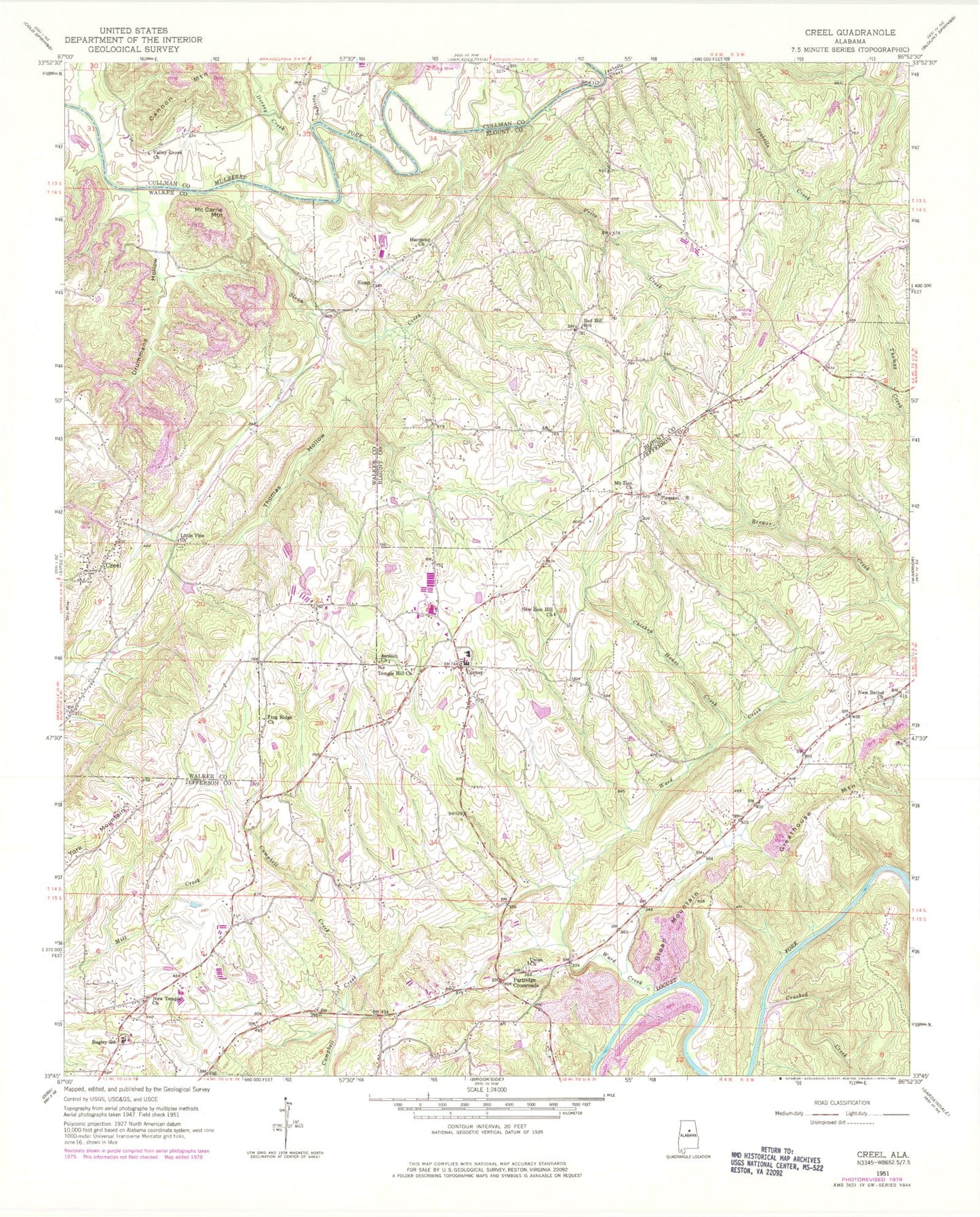
Classic USGS Creel Alabama 7.5'x7.5' Topo Map
Couldn't load pickup availability
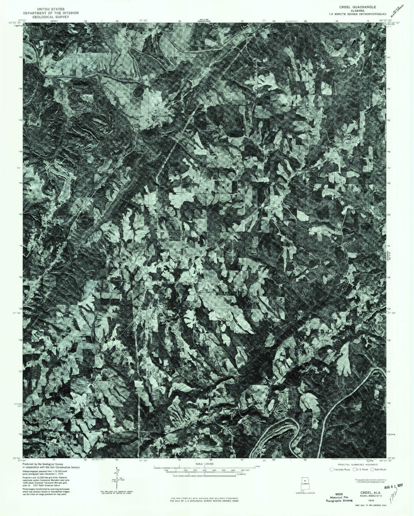
Historical USGS topographic quad map of Creel in the state of Alabama. Map scale may vary for some years, but is generally around 1:24,000. Print size is approximately 24" x 27"
This quadrangle is in the following counties: Blount, Cullman, Jefferson, Walker.
The map contains contour lines, roads, rivers, towns, and lakes. Printed on high-quality waterproof paper with UV fade-resistant inks, and shipped rolled.
Contains the following named places: Antioch Church, Bagley Junior High School, Bagley Meadows, Beltona Mine, Bohannon Mine, Carpet Rock Mine, Chicken House Creek, Corner, Corner Elementary School, Corner High School, Corner Volunteer Fire and Rescue Service Station 1, Corner Volunteer Fire and Rescue Service Station 2, Creel, Crooked Creek, Dorsey Creek, Drummond Hollow, Empire Church, Empire Number 2 Mine, Empire Post Office, Frog Ridge Church, Gleade Branch, Greathouse Mountain, Hanby Mill, Harmony Baptist Church, Harmony Baptist Church Cemetery, Hollow Hills Park, Isabelle Creek, Knob Mine, Knob Mine Number 2, Little Vine Church, McCarne Mountain, Mount Zion Church, Mountain View Church, New Bethel Church, New Temple Church, New Zion Hill Church, Partridge Crossroads, Partridge Sanitary Landfill, Pleasant Hill Church, Price Creek, Red Hill, Red Hill Church, Red Hill School, Skyline Drive Church, Sloan, Sloan Creek, Sloan Mountain, Sullivan Creek, Sullivan Ford, Temple Hill Church, Thomas Hollow, Union Church, Union Grove School, Valley Grove Church, Ward Creek, Willow Grove Estates, Wylam Number 4 Mine, York Mountain