MyTopo
Classic USGS Creighton Missouri 7.5'x7.5' Topo Map
Couldn't load pickup availability
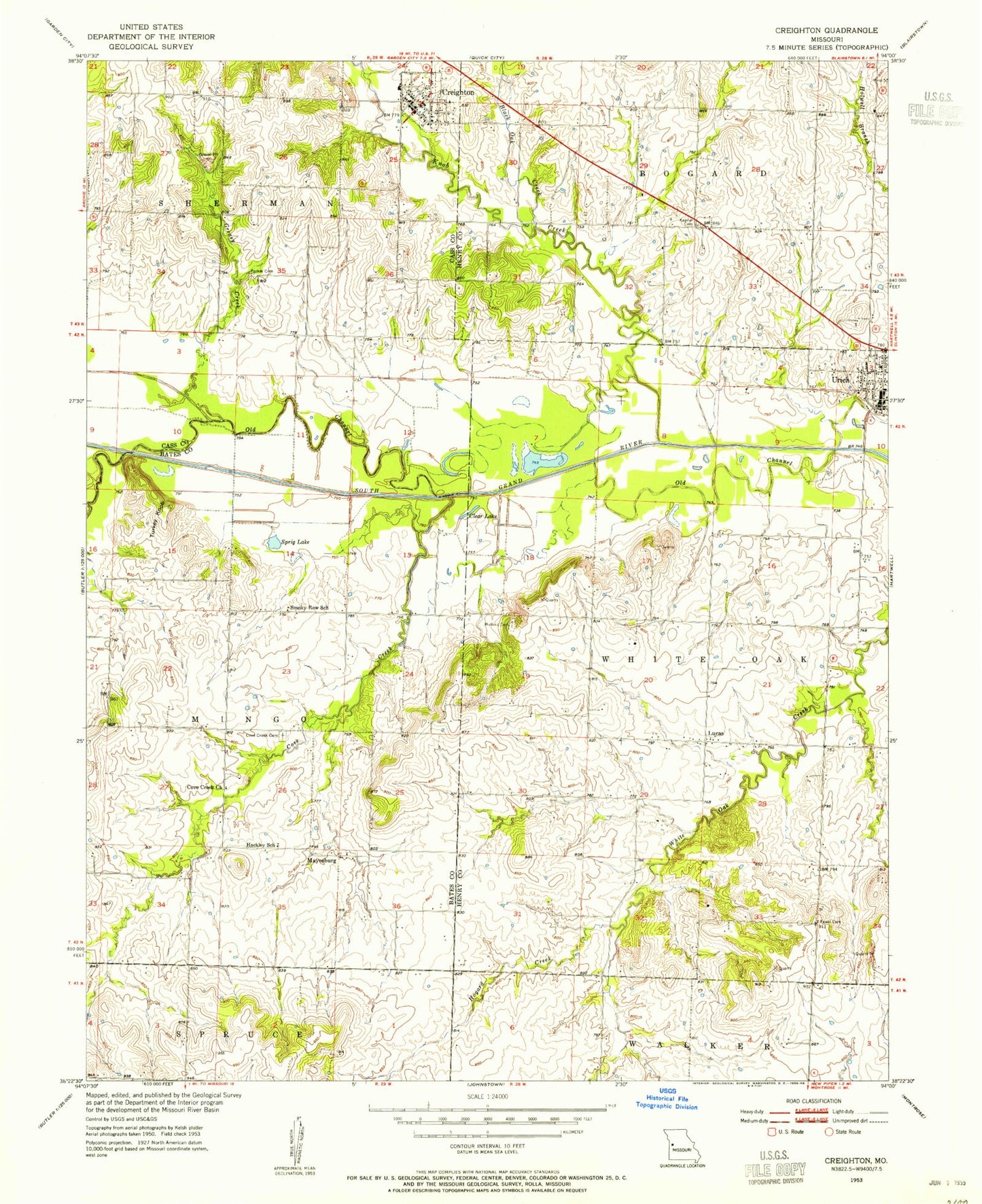
Historical USGS topographic quad map of Creighton in the state of Missouri. Map scale may vary for some years, but is generally around 1:24,000. Print size is approximately 24" x 27"
This quadrangle is in the following counties: Bates, Cass, Henry.
The map contains contour lines, roads, rivers, towns, and lakes. Printed on high-quality waterproof paper with UV fade-resistant inks, and shipped rolled.
Contains the following named places: Black Oak Creek, City of Creighton, Clear Lake, Cove Creek, Cove Creek Cemetery, Cove Creek Church, Creighton, Creighton Fire Protection District, Creighton Post Office, Creighton School, Creighton Wastewater Treatment Facility, Fewel Cemetery, Greasy Creek, Greasy School, Hackley School, Hogard Creek, Kepner Cemetery, Knob Creek, Little Lake, Lucas, Mayesburg, Mullins Cemetery, Oak Grove School, Parker - Gregg Cemetery, Smokey Row Settlement, Smoky Row School, Sprig Lake, Township of Mingo, Township of White Oak, Turkey Knob, Urich, Urich Police Department, Urich Post Office, Willow Branch, ZIP Code: 64788