MyTopo
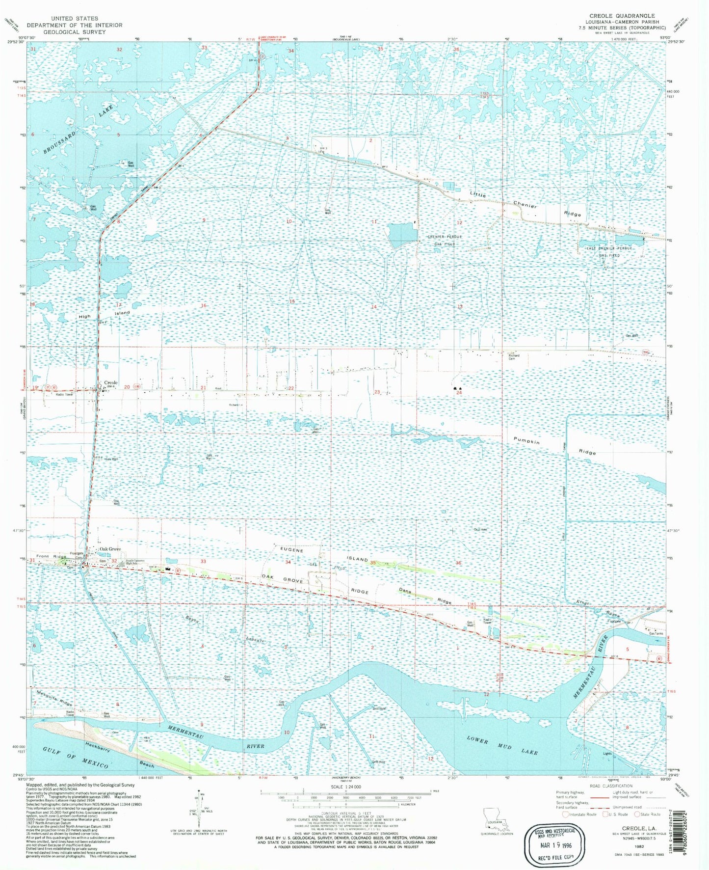
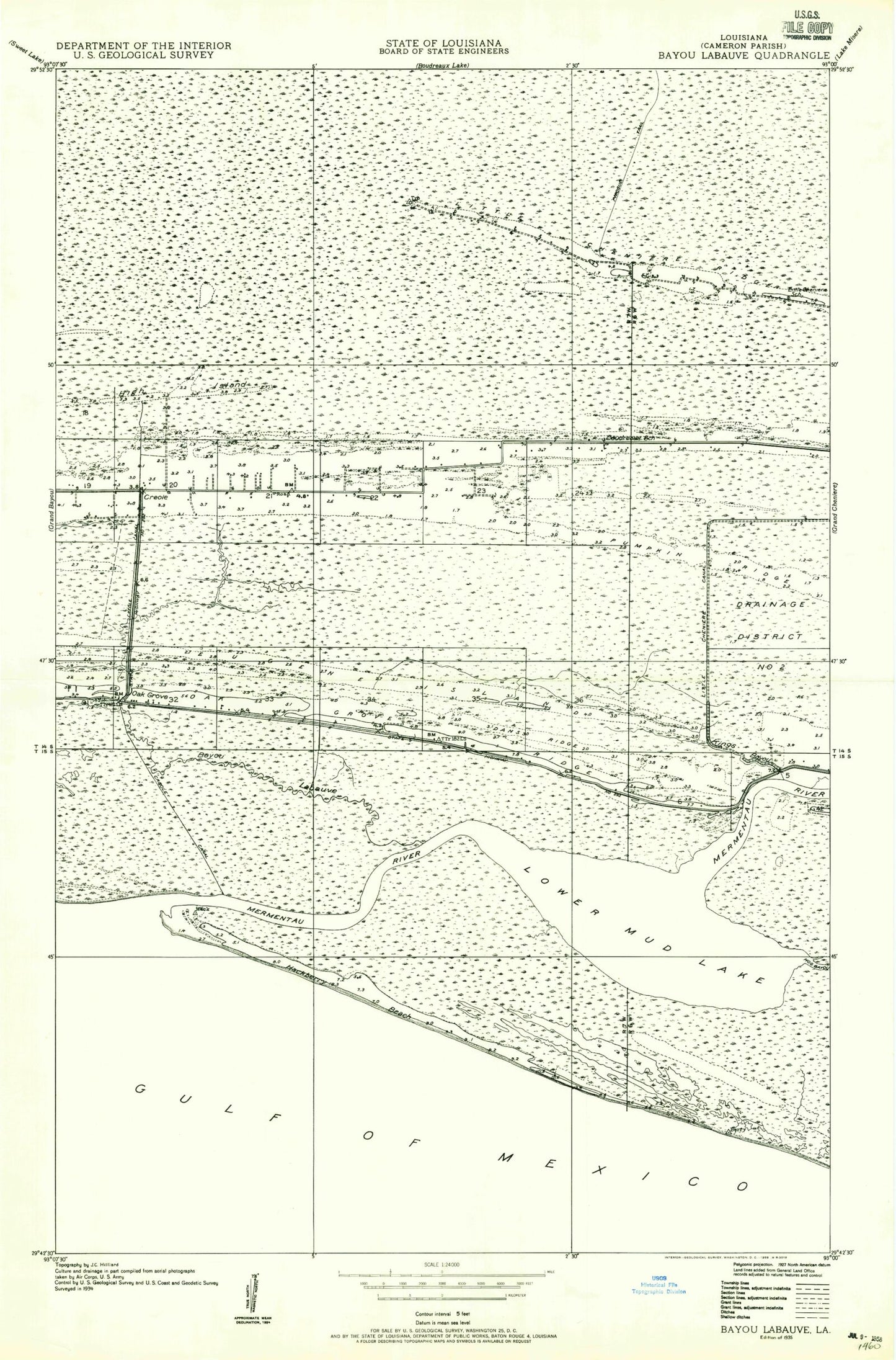
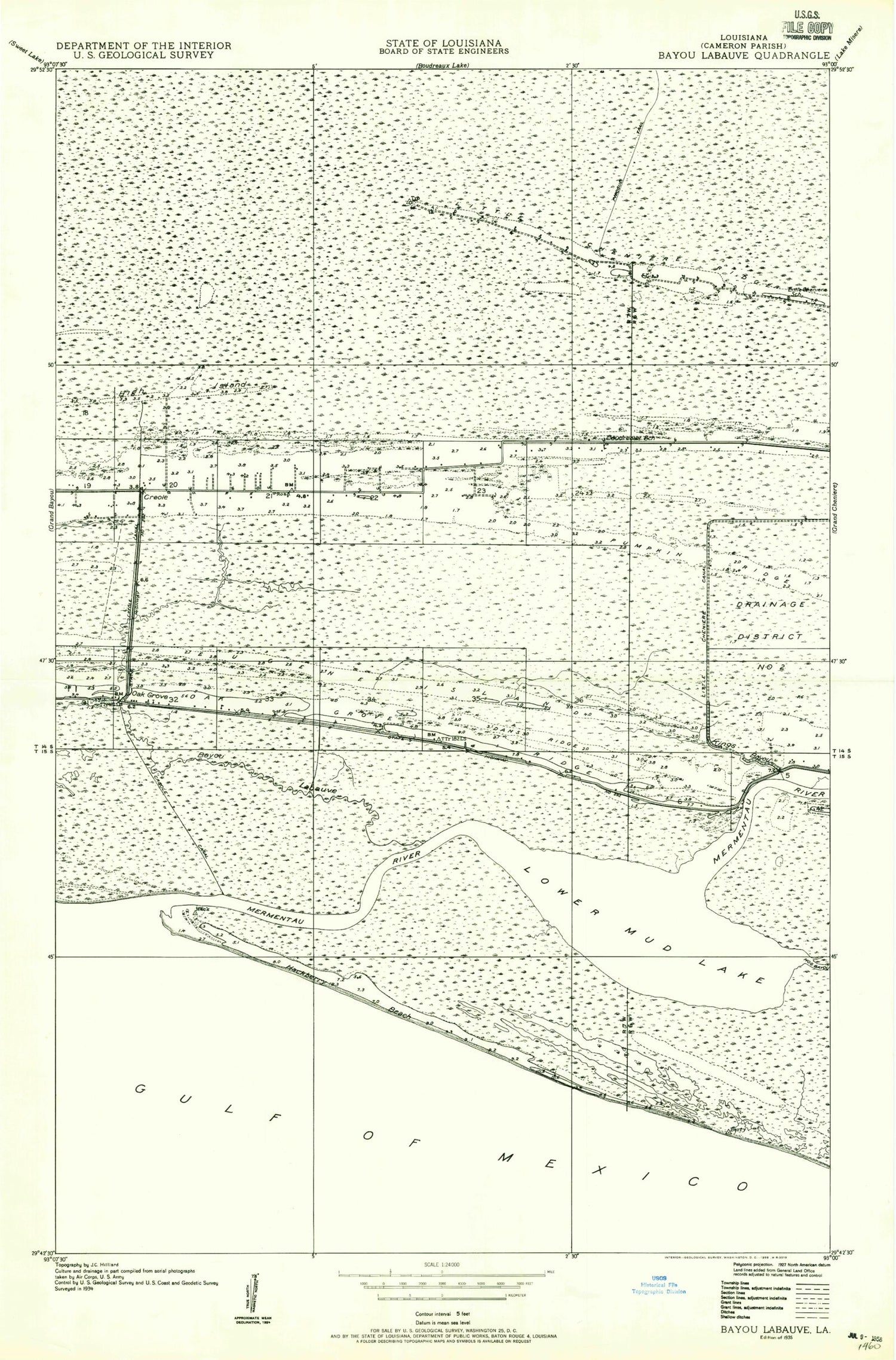
Classic USGS Creole Louisiana 7.5'x7.5' Topo Map
Couldn't load pickup availability
Historical USGS topographic quad map of Creole in the state of Louisiana. Map scale may vary for some years, but is generally around 1:24,000. Print size is approximately 24" x 27"
This quadrangle is in the following counties: Cameron.
The map contains contour lines, roads, rivers, towns, and lakes. Printed on high-quality waterproof paper with UV fade-resistant inks, and shipped rolled.
Contains the following named places: Air Logistics Heliport, Boudreaux School, Cameron Parish Fire Protection District 9, Creole, Creole Volunteer Fire Department, Dans Ridge, Eugene Island, High Island, Little Chenier Canal, Little Cheniere School, Lower Mud Lake, Mermentau River Navigational Channel, Oak Grove, Oak Grove Ridge, South Cameron High School, ZIP Code: 70632