MyTopo
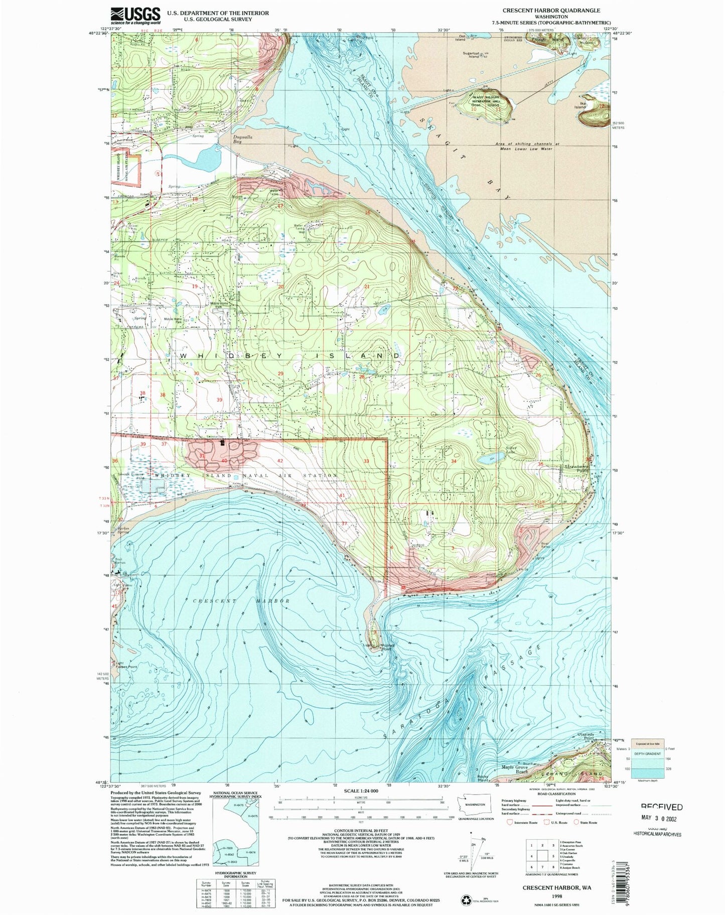
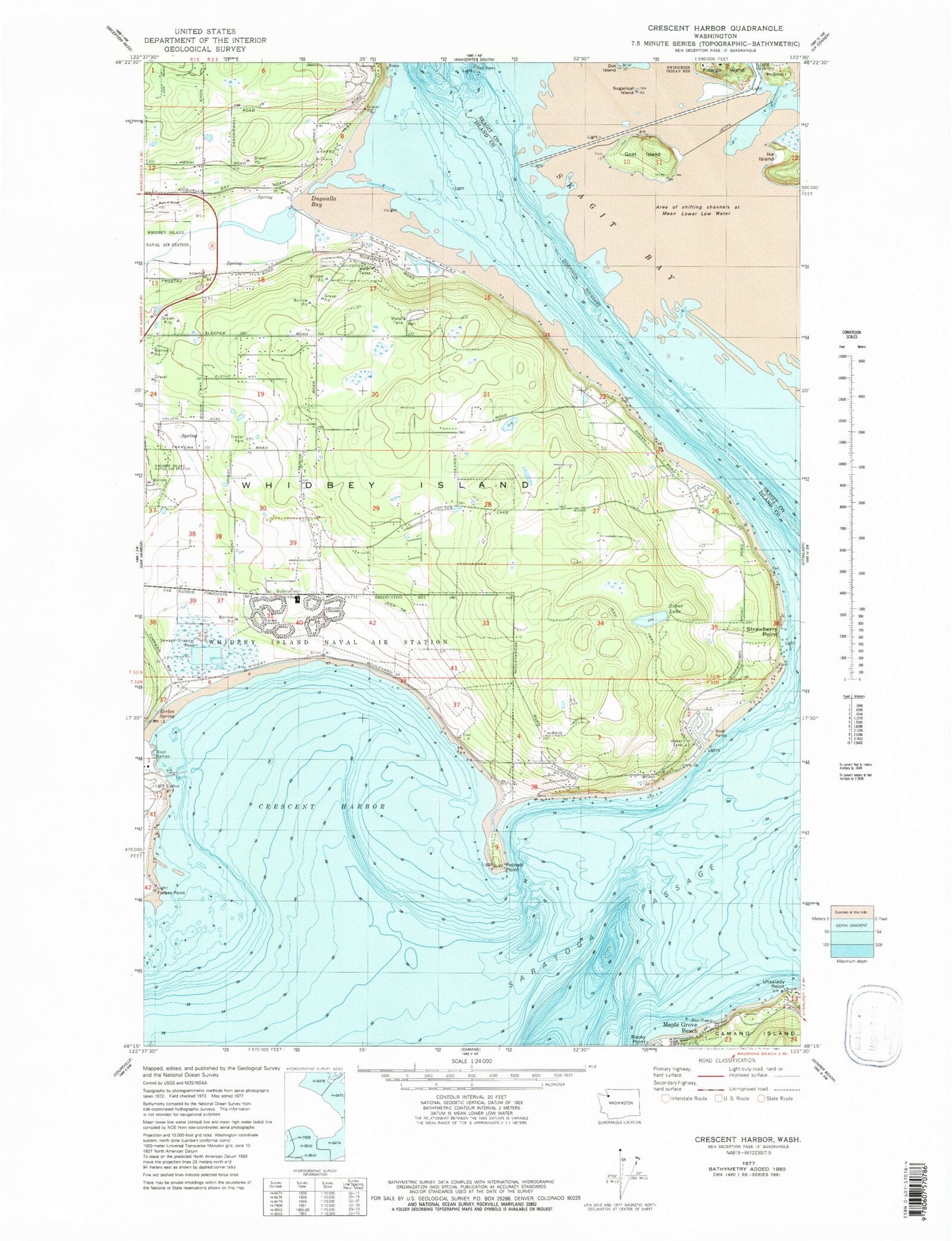
Classic USGS Crescent Harbor Washington 7.5'x7.5' Topo Map
Couldn't load pickup availability
Historical USGS topographic quad map of Crescent Harbor in the state of Washington. Typical map scale is 1:24,000, but may vary for certain years, if available. Print size: 24" x 27"
This quadrangle is in the following counties: Island, Skagit.
The map contains contour lines, roads, rivers, towns, and lakes. Printed on high-quality waterproof paper with UV fade-resistant inks, and shipped rolled.
Contains the following named places: Clover Valley, Crescent Harbor, Dot Island, Dugualla Bay, Eerkes Spring, Forbes Point, Goat Island, Ika Island, McGlinn Island, Polnell Point, Rocky Point, Silver Lake, Strawberry Point, Sugarloaf Island, Utsalady Point, Hole in the Wall, Maple Grove Beach, Kalamut Island (historical), Crescent Harbor Elementary School, Fidalgo Island, Fort Whitman, Boulder Hill Quarry, Henni Pit, Krieg Quarry, Kyle's Pit, Shepherd Quarry, Country Place Mobile Home Park, Maple Grove Boat Launch, Oak Harbor Wastewater Lagoon Northeast Cell, Oak Harbor Wastewater Lagoon Northwest Cell, Oak Harbor Wastewater Lagoon Southeast Cell, Oak Harbor Wastewater Lagoon Southwest Cell, Island County Fire District 2 North Whidbey Fire and Rescue Station 24 Polnell, Island County Fire District 2 North Whidbey Fire and Rescue Station 23 Silver Lake Road, Island County Fire District 2 North Whidbey Fire and Rescue Station 22 Taylor Road


