MyTopo
Classic USGS Cresco SE Iowa 7.5'x7.5' Topo Map
Couldn't load pickup availability
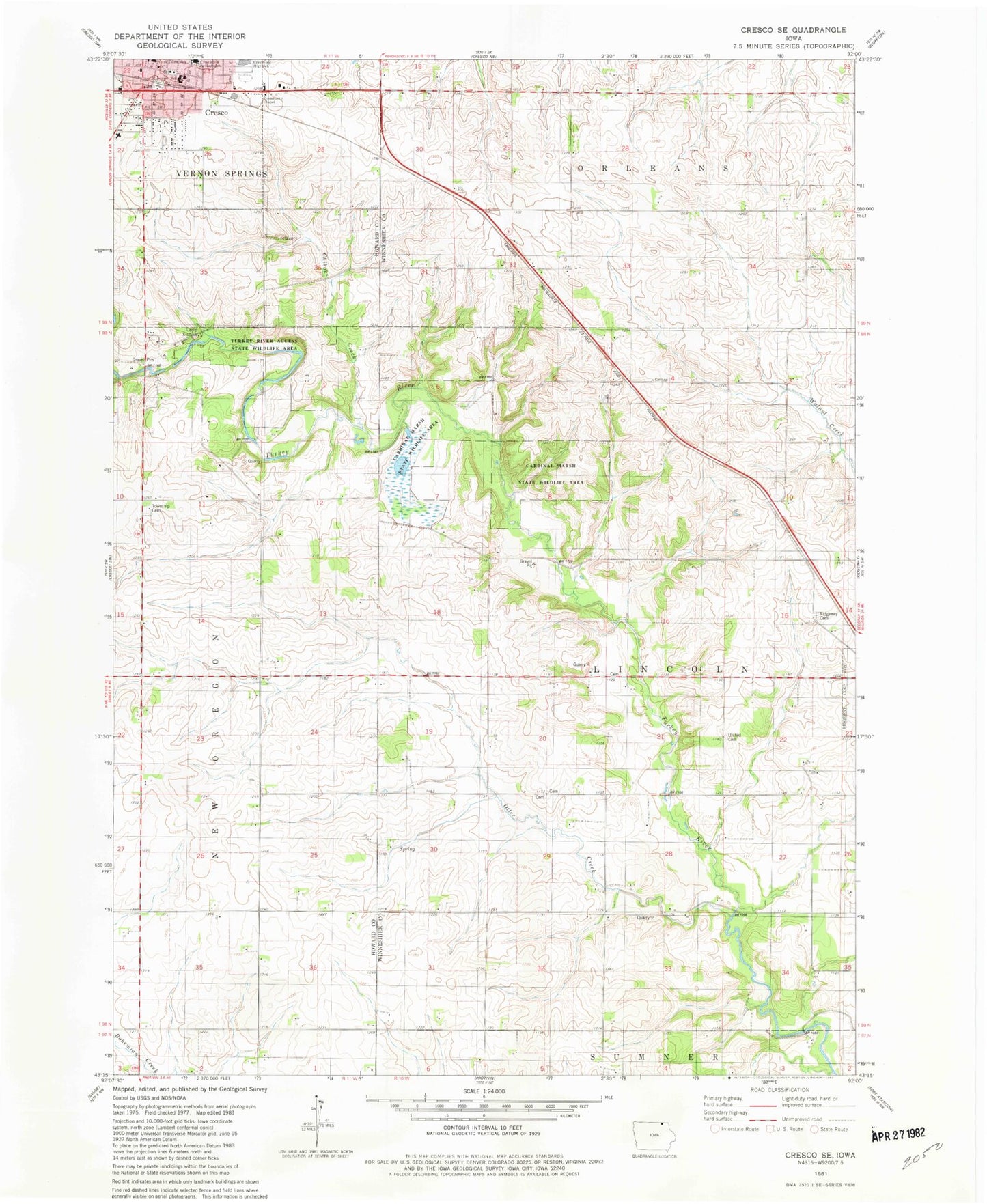
Historical USGS topographic quad map of Cresco SE in the state of Iowa. Map scale may vary for some years, but is generally around 1:24,000. Print size is approximately 24" x 27"
This quadrangle is in the following counties: Howard, Winneshiek.
The map contains contour lines, roads, rivers, towns, and lakes. Printed on high-quality waterproof paper with UV fade-resistant inks, and shipped rolled.
Contains the following named places: Beadle Park, Camp Kiwanis, Cardinal Marsh State Wildlife Area, Chihaks Creek, Chimney Rock Canoe Rental and Campground, City of Cresco, Cleghorn Wildlife Area, Community Chapel, Cresco, Cresco Care Center, Cresco City Hall, Cresco Family Dentistry Center, Cresco Fire Department, Cresco Post Office, Crestwood High School, Crestwood Secondary School, Evans Park, Gentle Care Chiropractic Clinic, German Methodist Cemetery, Howard County Courthouse, Howard County Law Library, Howard County Log Cabin Museum, Howard County Sherriffs Office, Immanuel Lutheran Church, Joslyn Chiropractic Clinic, Ladwig Farm Cemetery, Martinek Wildlife Area, New Oregon, New Oregon Cemetery, New Oregon Post Office, Notre Dame Catholic School, Orlean Post Office, Otter Creek, Ridgeway Cemetery, Ryan Farm Cemetery, Saint Johns Lutheran Cemetery, Saint Joseph Church, Saint Joseph School, South Kratz Cemetery, Sovereign Grain Services Elevator, Steamboat Rock, Taylor Pond Park, Township of Lincoln, Turkey River Access State Wildlife Area, Turkey River Area, Turkey River Wildlife Area, United Lutheran Cemetery, ZIP Code: 52136


