MyTopo
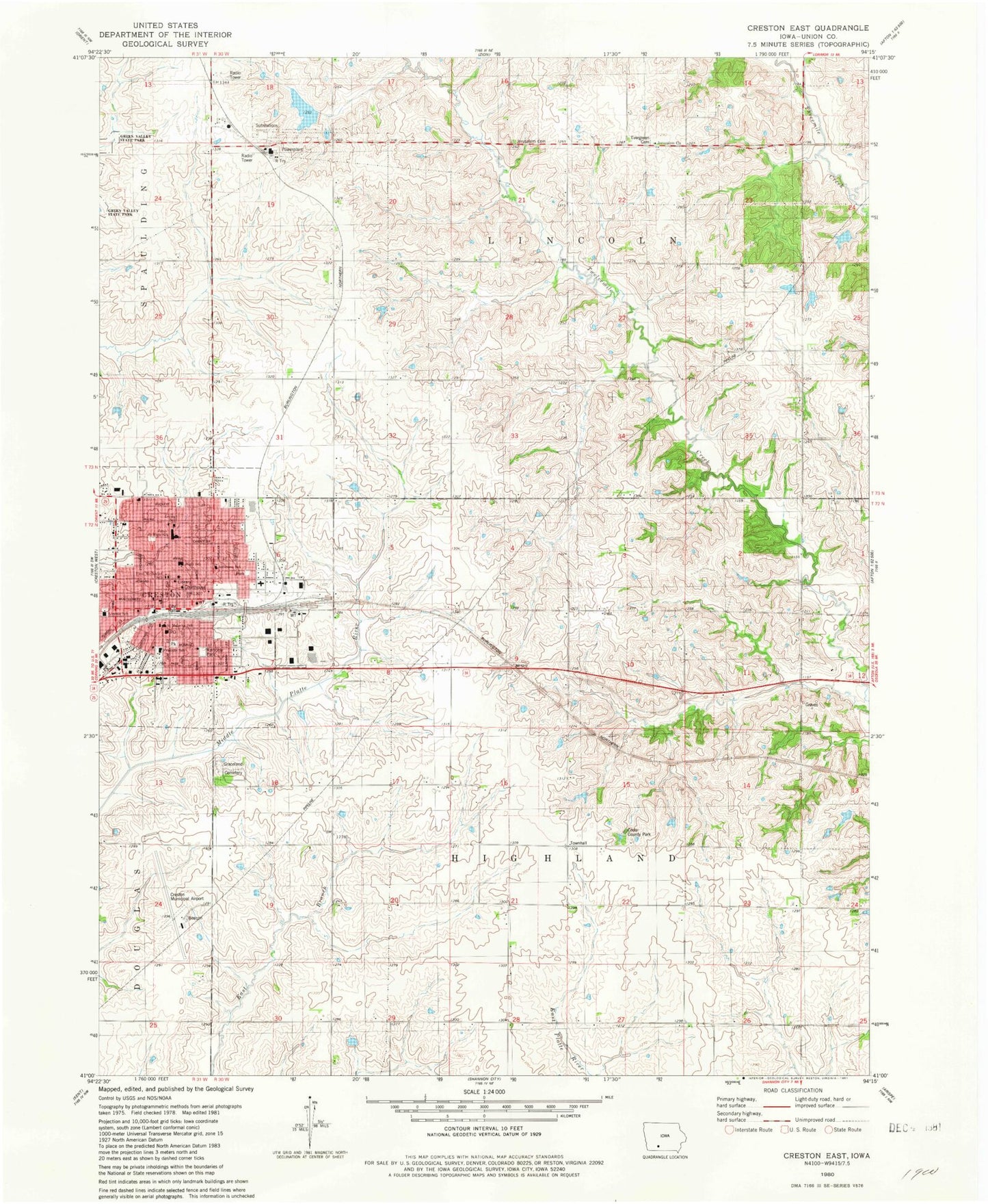
Classic USGS Creston East Iowa 7.5'x7.5' Topo Map
Couldn't load pickup availability
Historical USGS topographic quad map of Creston East in the state of Iowa. Map scale may vary for some years, but is generally around 1:24,000. Print size is approximately 24" x 27"
This quadrangle is in the following counties: Union.
The map contains contour lines, roads, rivers, towns, and lakes. Printed on high-quality waterproof paper with UV fade-resistant inks, and shipped rolled.
Contains the following named places: Abundant Life Church, Apostolic Lighthouse Church, Assembly of God Church, Cedar County Park, Christian Science Reading Room, Church of Christ, City of Creston, County Home Cemetery, Crest Baptist Church, Crest Haven Care Centre, Creston, Creston Chiropractic Center, Creston City Hall, Creston Early Childhood Center, Creston Elementary School, Creston Fire Department, Creston High School, Creston Medical Clinic, Creston Middle School, Creston Municipal Airport, Creston Post Office, Creston Vision Clinic, East Creston, Evergreen Cemetery, Fairview Congregational Church, Family Vision Center, First Baptist Church, First Christian Church of Christ, First Methodist School, Franklin School, Graceland Cemetery, Hair Tech School of Cosmetology, Highland Townhall, Holy Spirit Church, Jefferson School, Jerusalem Church, Lakes Country Academy, Lincoln School, Matilda Gibson Memorial Library, Mayflower Heritage Christian School, Myers Post Office, Old Jerusalem Cemetery, Philo Post Office, Presbyterian Church, Rainbow Park, Reorganized Church of Jesus Christ of Latter Day Saints, Saint Johns United Church of Christ, Saint Malachy School, Saint Pauls Episcopal Church, Salem Lutheran Church, Sears Sports Complex, Solid Rock Church, Township of Highland, Township of Lincoln, Trinity Lutheran Church, Trinity Lutheran School, Twelve Mile Lake, Twelve Mile Lake Wildlife Management Area, Union County Courthouse, Union County Sheriff's Office, United Church of Christ, United Methodist Church, Veterans of Foreign Wars Ballfield


