MyTopo
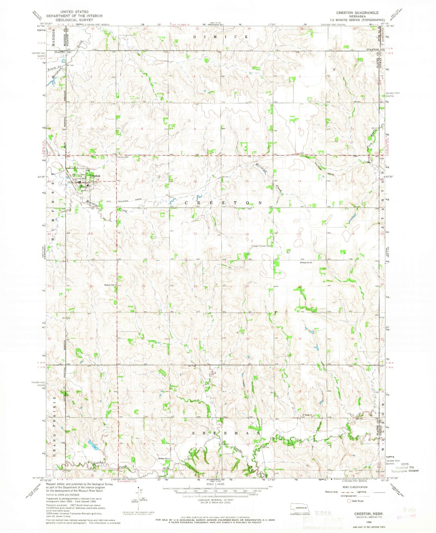
Classic USGS Creston Nebraska 7.5'x7.5' Topo Map
Couldn't load pickup availability
Historical USGS topographic quad map of Creston in the state of Nebraska. Map scale may vary for some years, but is generally around 1:24,000. Print size is approximately 24" x 27"
This quadrangle is in the following counties: Colfax, Madison, Platte, Stanton.
The map contains contour lines, roads, rivers, towns, and lakes. Printed on high-quality waterproof paper with UV fade-resistant inks, and shipped rolled.
Contains the following named places: Boheet School, Creston, Creston Baptist Church, Creston Elementary School, Creston Pioneer Cemetery, Creston Post Office, Creston Rescue Unit, Creston Volunteer Fire Department, Fairview Cemetery, Farm and Home Co-op Elevator, Modock School, Saint Pauls Church, Saint Peters Lutheran Church, School Number 43, Township of Creston, Tracy Creek, Village of Creston, ZIP Codes: 68631, 68643