MyTopo
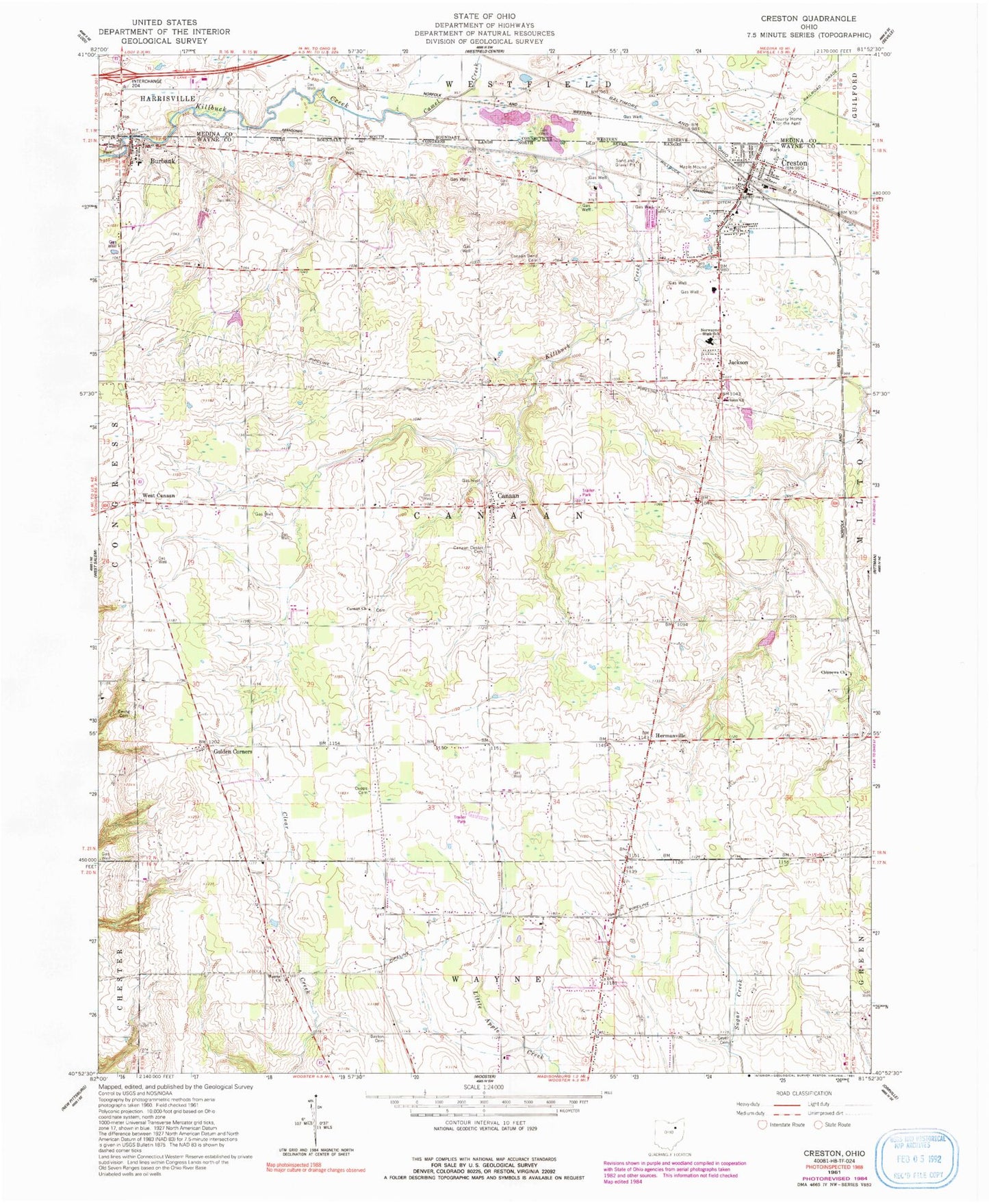
Classic USGS Creston Ohio 7.5'x7.5' Topo Map
Couldn't load pickup availability
Historical USGS topographic quad map of Creston in the state of Ohio. Map scale may vary for some years, but is generally around 1:24,000. Print size is approximately 24" x 27"
This quadrangle is in the following counties: Medina, Wayne.
The map contains contour lines, roads, rivers, towns, and lakes. Printed on high-quality waterproof paper with UV fade-resistant inks, and shipped rolled.
Contains the following named places: Barton Cemetery, Beech Grove Cemetery, Blue Ridge Farms, Burbank, Burbank Elementary School, Burbank Post Office, Camel Creek, Canaan, Canaan Bend Cemetery, Canaan Cemetery, Canaan Center Cemetery, Canaan Lutheran Church, Canaan Township Fire Department Station 1 Headquarters, Canaan Township Fire Department Station 2, Cantendo Acres, Chippewa Church of the Brethren, Chippewa Watershed Conservation District Structure Reservoir, Circle J Farms, Colvin Family Farm, Creston, Creston Middle School, Creston Post Office, Cupps Cemetery, Ewing Cemetery, Gerber Farm, Geyer Cemetery, Gill Farms, Golden Corners, Hermanville, Hoistington Farms, Indian Head Village, Jackson, Jackson Cemetery, Jackson Presbyterian Church, Killbuck Ditch, Maple Mound Cemetery, McLaughlin Farms, Moonstruck Farm, Quailcrest Farm, School Number 11, School Number 2, School Number 3, School Number 5, School Number 8, Shoemaker Cemetery, Township of Canaan, Township of Creston Village, Twin Castle Farms, Village of Burbank, Village of Creston, Wayne Presbyterian Cemetery, Wayne Presbyterian Church, West Canaan, ZIP Codes: 44214, 44217