MyTopo
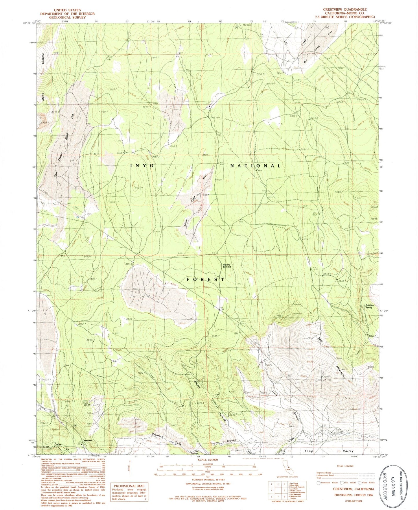
Classic USGS Crestview California 7.5'x7.5' Topo Map
Couldn't load pickup availability
Historical USGS topographic quad map of Crestview in the state of California. Typical map scale is 1:24,000, but may vary for certain years, if available. Print size: 24" x 27"
This quadrangle is in the following counties: Mono.
The map contains contour lines, roads, rivers, towns, and lakes. Printed on high-quality waterproof paper with UV fade-resistant inks, and shipped rolled.
Contains the following named places: Alpers Canyon, Bald Mountain, Bald Mountain Spring, Big Springs, Clark Canyon, Deadman Creek, East Craters Sand Flat, East Portal, Little Sand Flat, Owens River Ranch, Indiana Summit Research Natural Area, Bald Mountain Lookout, Glass Creek Campground, Inyo National Forest, Crestview, Indiana Summit, Bald Mountain Springs Camping Area