MyTopo
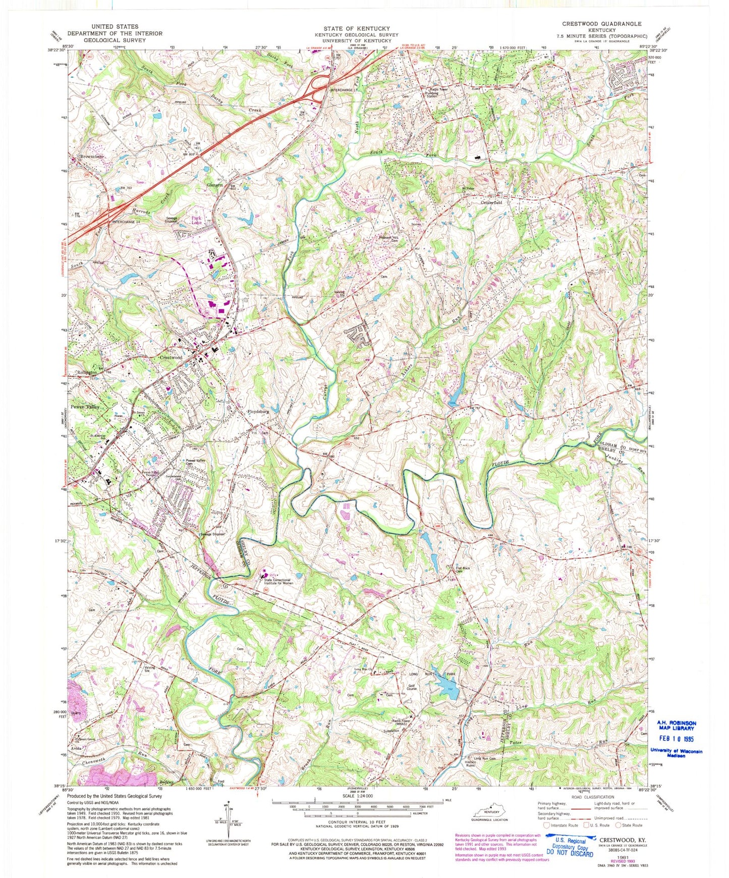
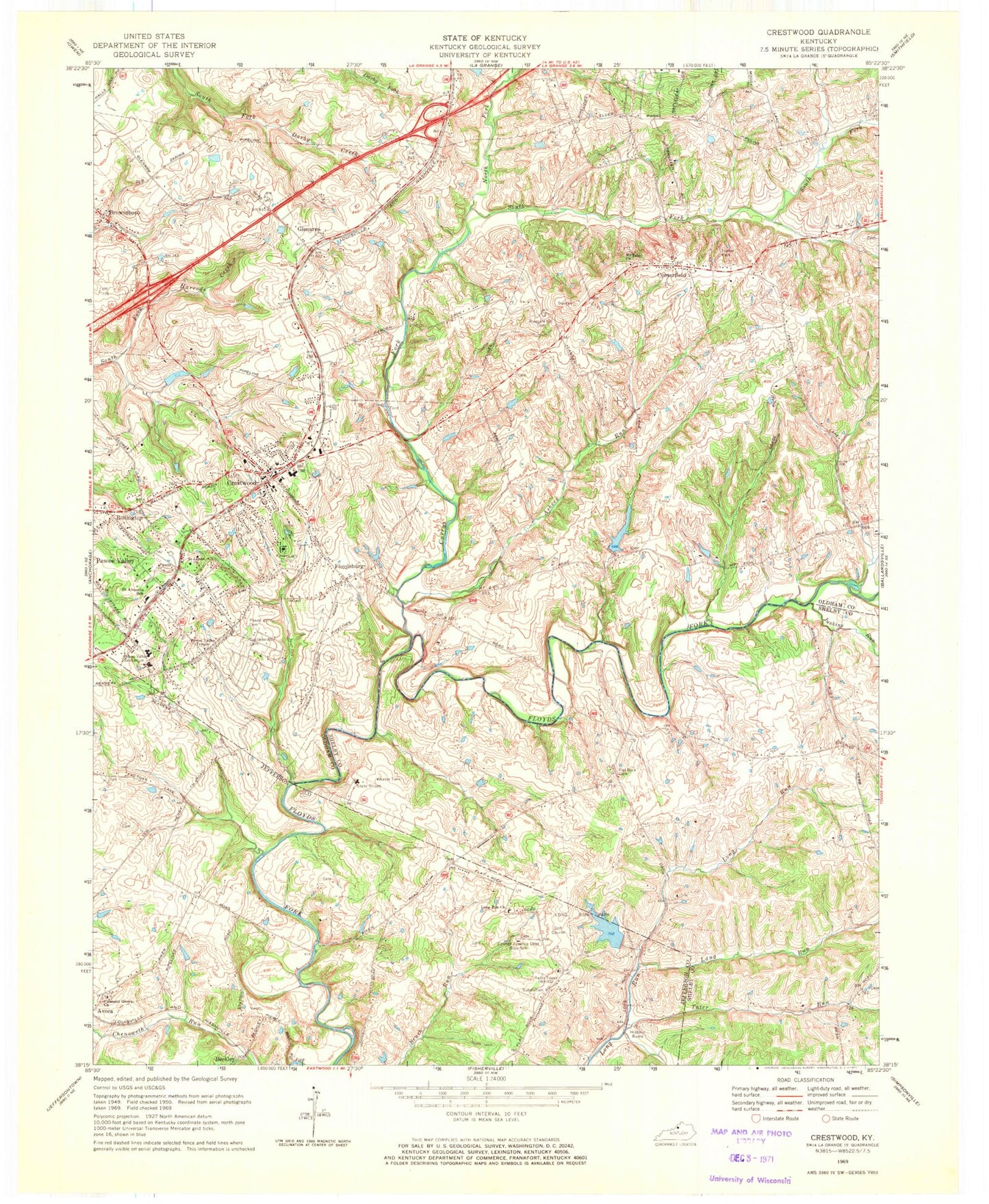
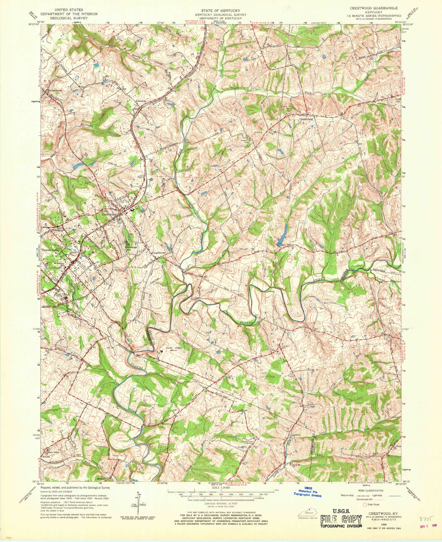
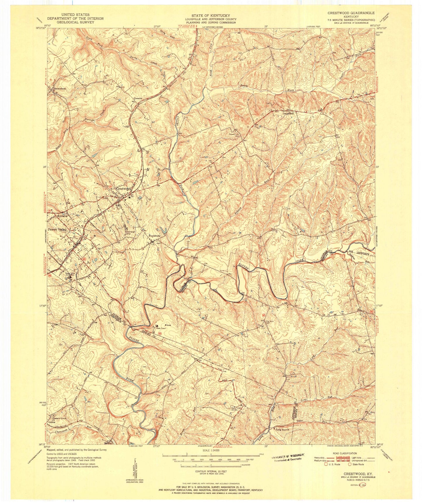
Classic USGS Crestwood Kentucky 7.5'x7.5' Topo Map
Couldn't load pickup availability
Historical USGS topographic quad map of Crestwood in the state of Kentucky. Typical map scale is 1:24,000, but may vary for certain years, if available. Print size: 24" x 27"
This quadrangle is in the following counties: Jefferson, Oldham, Shelby.
The map contains contour lines, roads, rivers, towns, and lakes. Printed on high-quality waterproof paper with UV fade-resistant inks, and shipped rolled.
Contains the following named places: Ashers Run, Avoca, Brownsboro, Centerfield, Confederate Cemetery, Crestwood, Currys Fork, Flat Rock Cemetery, Floydsburg, Junkins Run, Kavanaugh Life Enrichment Center, Lang Run, Long Run Baptist Church, Long Run Park, Mount Tabor United Methodist Church, North Fork Currys Fork, Pewee Valley, Pewee Valley Cemetery, Pewee Valley Sanitarium, Pewee Valley Temple, Pleasant Grove Church, Pleasant Hill Cemetery, Rollington, Saint Aloysius School, Saint James Episcopal Church, South Fork Currys Fork, Tater Run, Beckley, Glenarm, Woodledge Farm Airport, Timmons Field Airport (historical), WHAS-AM (Louisville), Park Lake, Long Run Cemetery, Dalton Run, City of Crestwood, City of Park Lake (historical), City of Pewee Valley, Community Presbyterian Church, Crestwood Station Shopping and Business Center, Buckner Post Office, Crestwood Post Office, Pewee Valley Post Office, Saint Patrick Catholic Church, Flat Rock (historical), Flat Rock Christian Church (historical), Kentucky Correctional Institution for Women, Kentucky Correctional Institution for Women, Centerfield Elementary School, South Oldham Fire Department, Pewee Valley Fire Protection District Station 1, Elder Park (historical), Butler Branch, Pewee Valley Police Department, Ashers Run, Avoca, Brownsboro, Centerfield, Confederate Cemetery, Crestwood, Currys Fork, Flat Rock Cemetery, Floydsburg, Junkins Run, Kavanaugh Life Enrichment Center, Lang Run, Long Run Baptist Church, Long Run Park, Mount Tabor United Methodist Church, North Fork Currys Fork, Pewee Valley, Pewee Valley Cemetery, Pewee Valley Sanitarium, Pewee Valley Temple, Pleasant Grove Church, Pleasant Hill Cemetery, Rollington, Saint Aloysius School, Saint James Episcopal Church, South Fork Currys Fork, Tater Run, Beckley, Glenarm, Woodledge Farm Airport, Timmons Field Airport (historical), WHAS-AM (Louisville), Park Lake, Long Run Cemetery, Dalton Run, City of Crestwood, City of Park Lake (historical), City of Pewee Valley, Community Presbyterian Church, Crestwood Station Shopping and Business Center, Buckner Post Office, Crestwood Post Office, Pewee Valley Post Office, Saint Patrick Catholic Church, Flat Rock (historical), Flat Rock Christian Church (historical), Kentucky Correctional Institution for Women, Kentucky Correctional Institution for Women, Centerfield Elementary School, South Oldham Fire Department, Pewee Valley Fire Protection District Station 1, Elder Park (historical), Butler Branch, Pewee Valley Police Department, Ashers Run, Avoca, Brownsboro, Centerfield, Confederate Cemetery, Crestwood, Currys Fork, Flat Rock Cemetery, Floydsburg, Junkins Run, Kavanaugh Life Enrichment Center, Lang Run, Long Run Baptist Church, Long Run Park, Mount Tabor United Methodist Church, North Fork Currys Fork, Pewee Valley, Pewee Valley Cemetery, Pewee Valley Sanitarium, Pewee Valley Temple, Pleasant Grove Church, Pleasant Hill Cemetery, Rollington, Saint Aloysius School, Saint James Episcopal Church, South Fork Currys Fork, Tater Run, Beckley, Glenarm, Woodledge Farm Airport, Timmons Field Airport (historical), WHAS-AM (Louisville), Park Lake, Long Run Cemetery, Dalton Run, City of Crestwood, City of Park Lake (historical), City of Pewee Valley, Community Presbyterian Church, Crestwood Station Shopping and Business Center, Buckner Post Office, Crestwood Post Office, Pewee Valley Post Office, Saint Patrick Catholic Church, Flat Rock (historical), Flat Rock Christian Church (historical), Kentucky Correctional Institution for Women, Kentucky Correctional Institution for Women, Centerfield Elementary School, South Oldham Fire Department, Pewee Valley Fire Protection District Station 1, Elder Park (historical), Butler Branch, Pewee Valley Police Department


