MyTopo
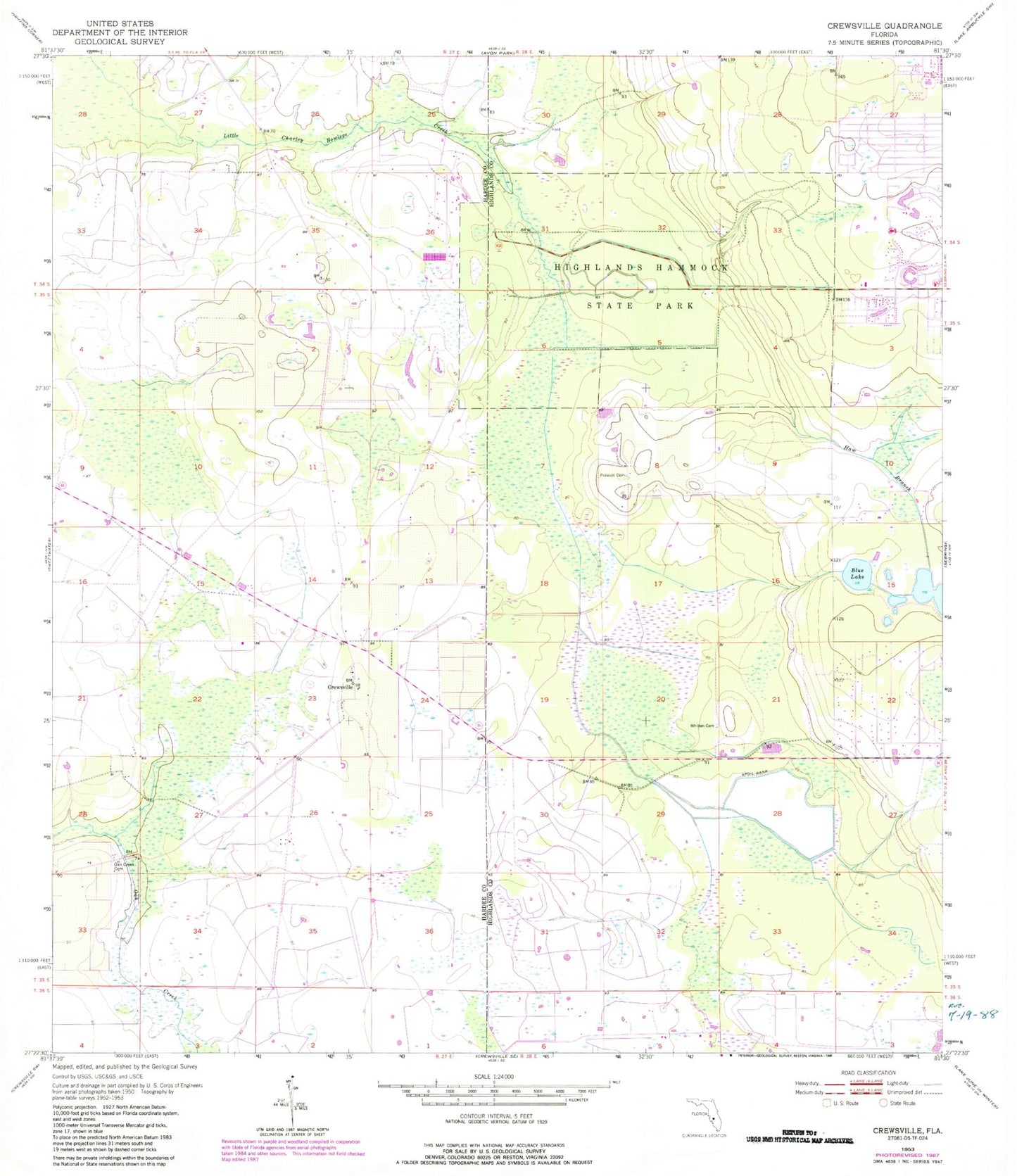
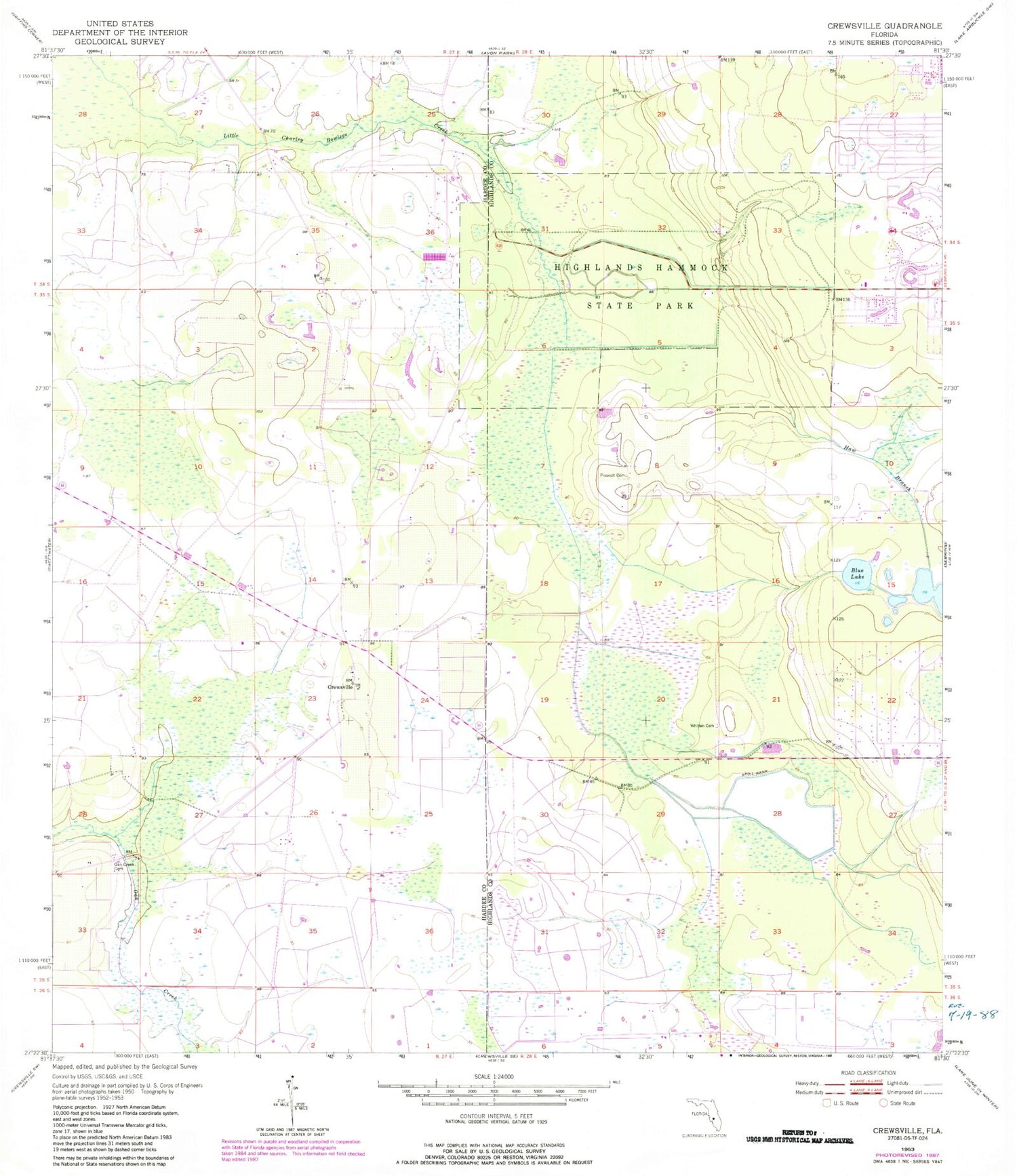
Classic USGS Crewsville Florida 7.5'x7.5' Topo Map
Couldn't load pickup availability
Historical USGS topographic quad map of Crewsville in the state of Florida. Map scale may vary for some years, but is generally around 1:24,000. Print size is approximately 24" x 27"
This quadrangle is in the following counties: Hardee, Highlands.
The map contains contour lines, roads, rivers, towns, and lakes. Printed on high-quality waterproof paper with UV fade-resistant inks, and shipped rolled.
Contains the following named places: Bible Fellowship Church, Blue Lake, Christy Lake, Crewsville, Crewsville Bethel Baptist Church, Hammock Lookout Tower, Haw Branch, Highlands Hammock State Park, Midway Cemetery, Prescott Cemetery, The Hideaway Country Club, The Medalist Golf Club, Thunderbird Hills South Mobile Home Park, Whitten Cemetery, Windmill Farms Nurseries, ZIP Code: 33875


