MyTopo
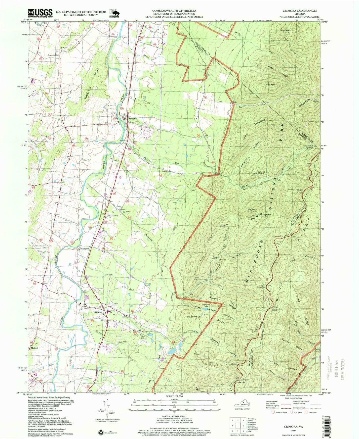
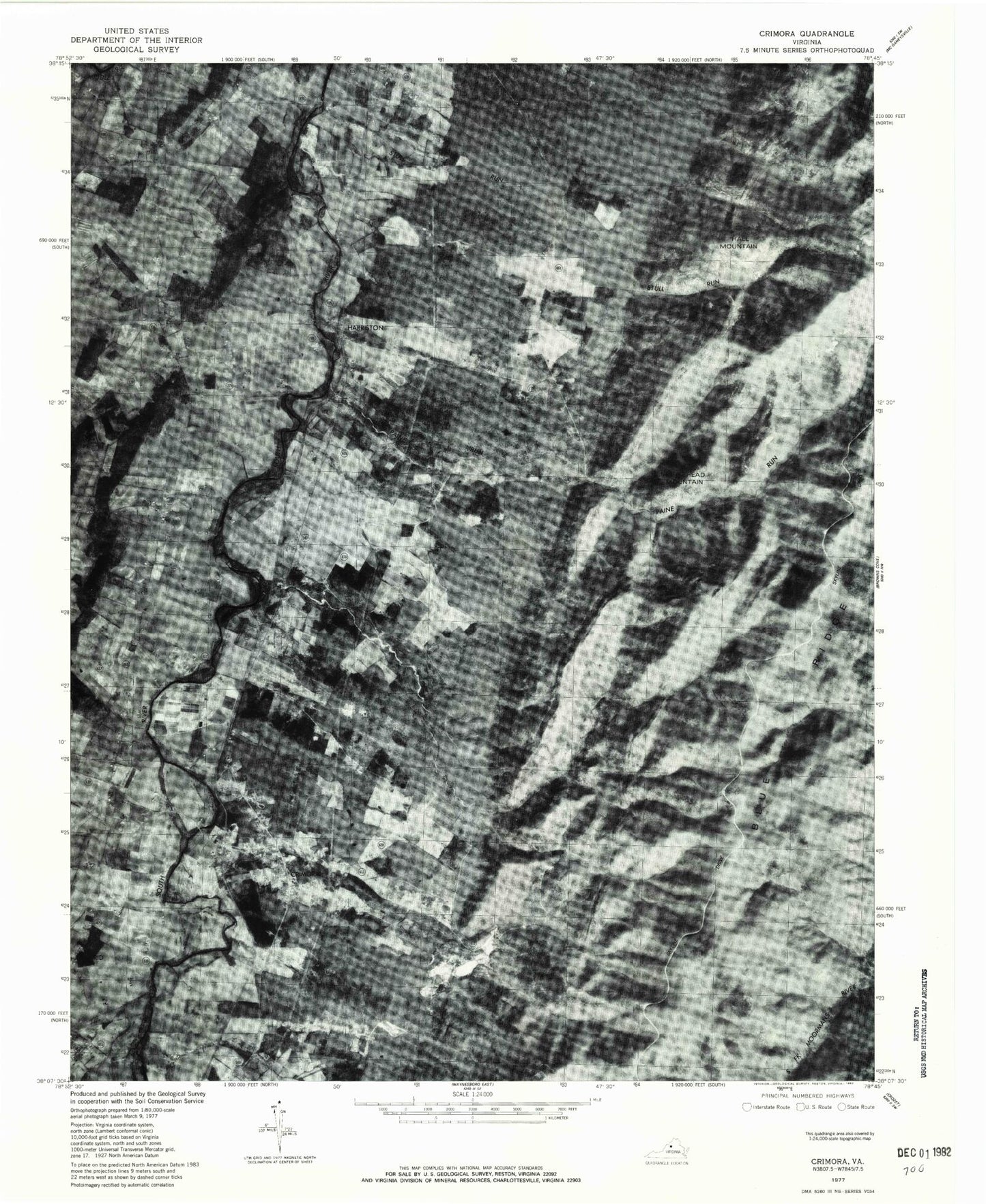
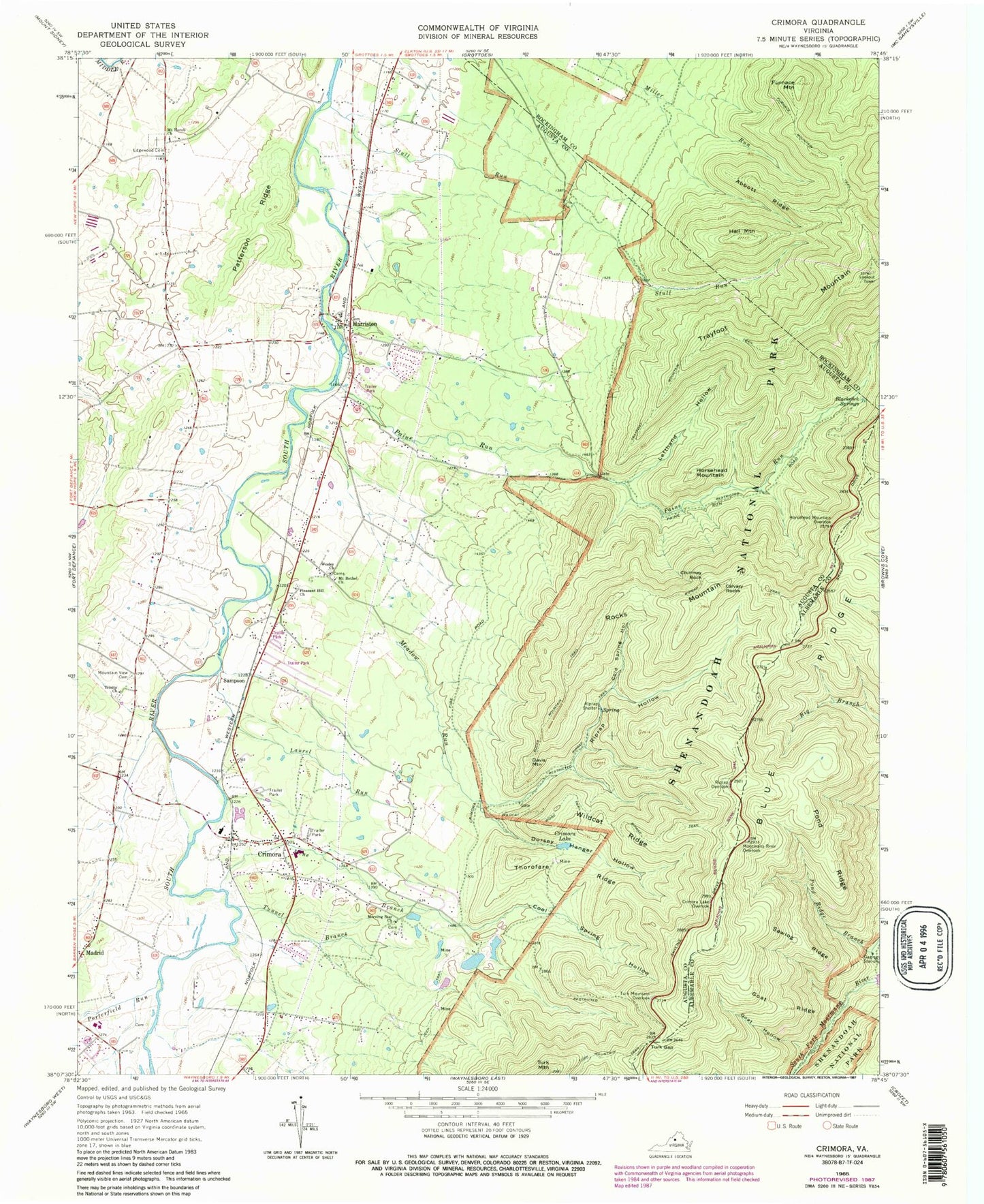
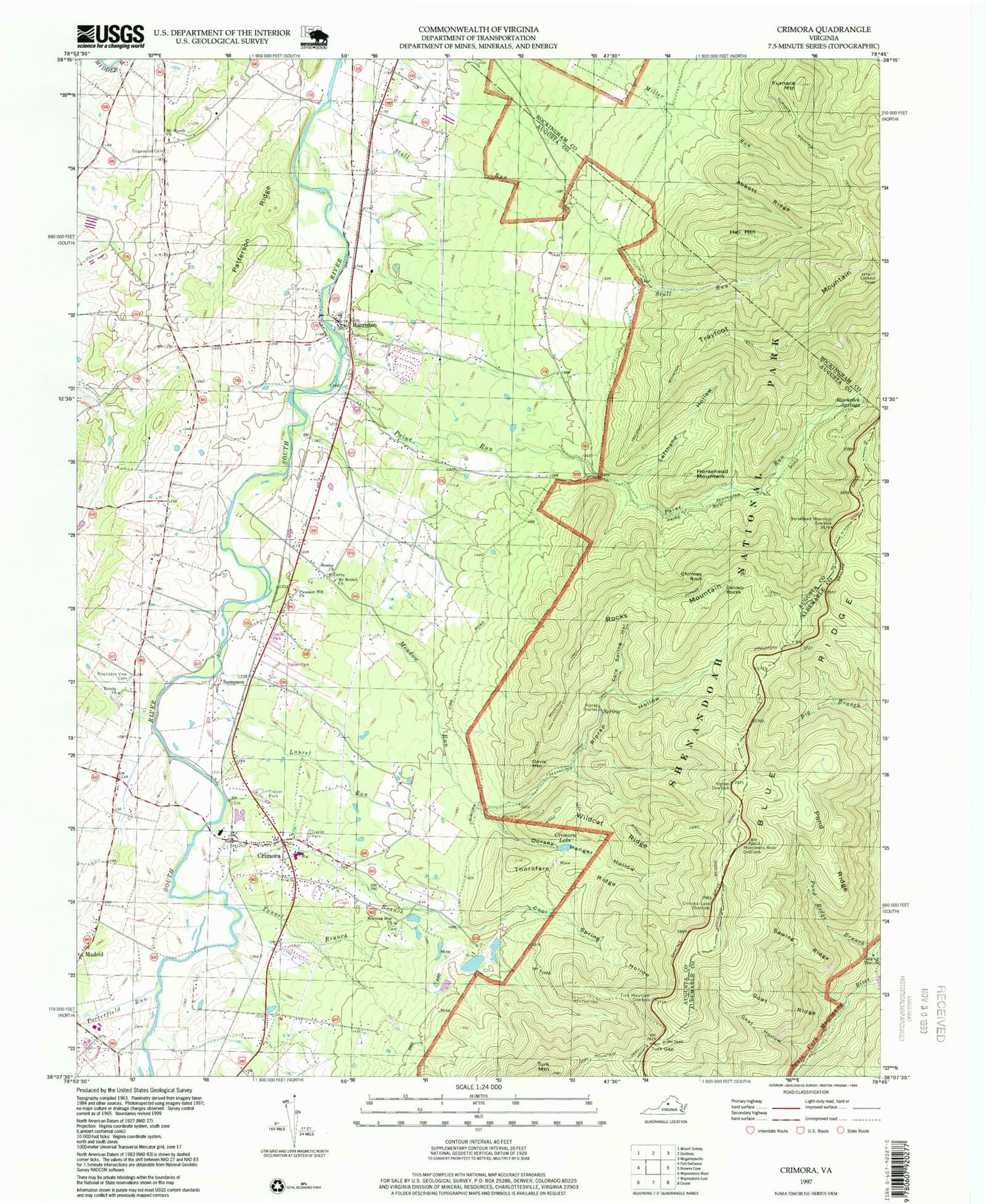
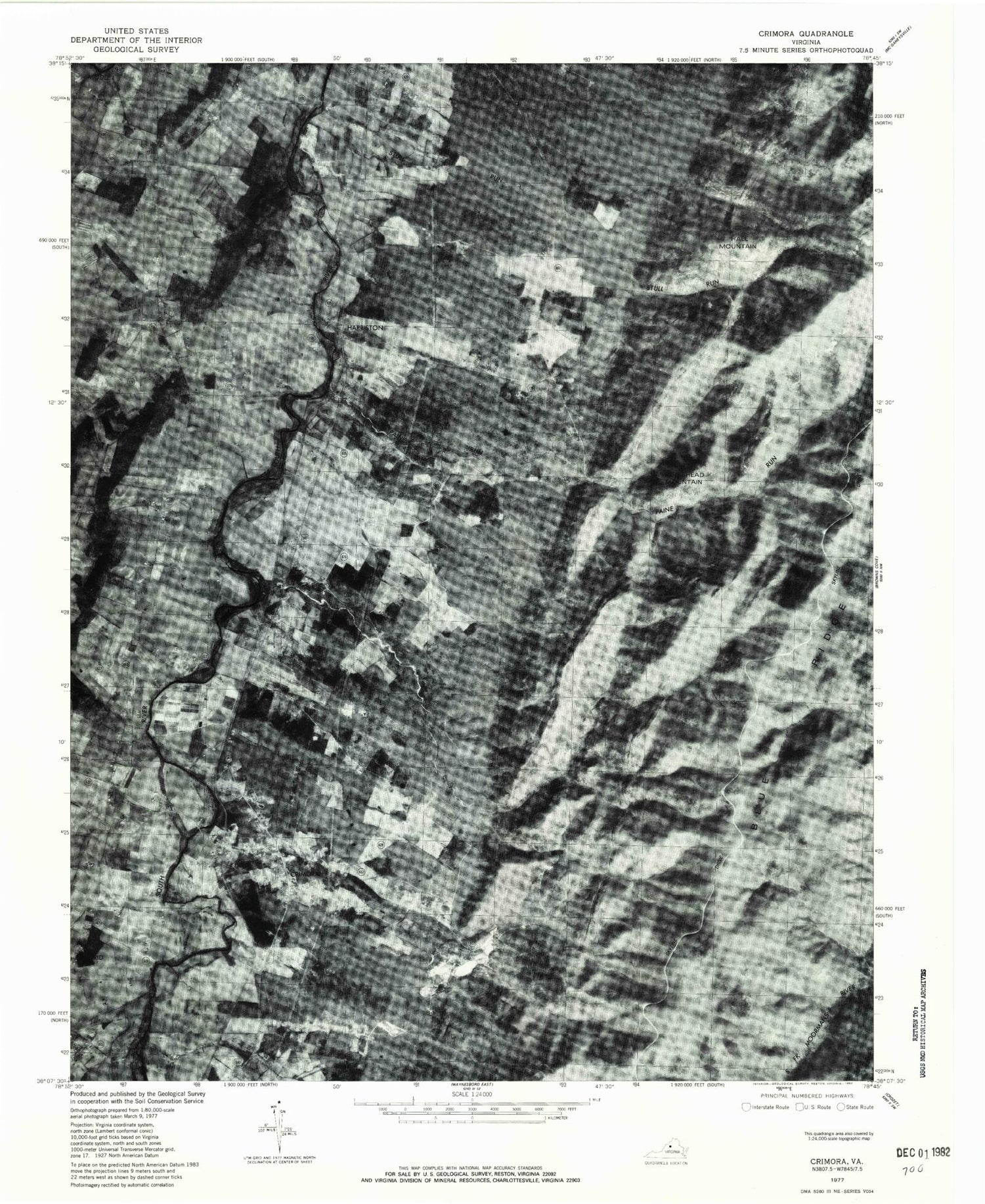
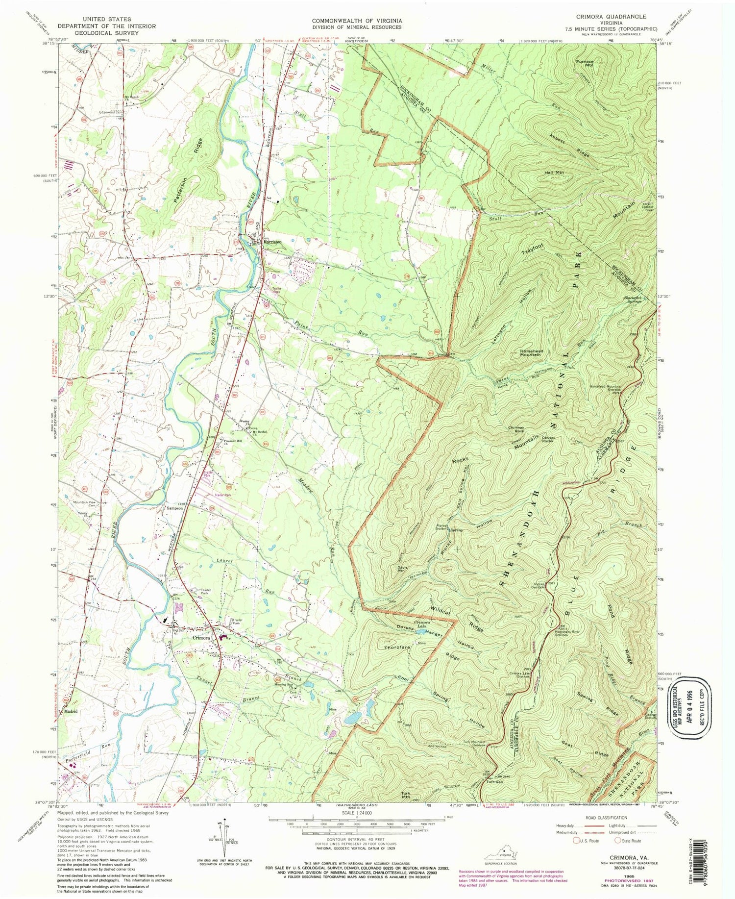
Classic USGS Crimora Virginia 7.5'x7.5' Topo Map
Couldn't load pickup availability
Historical USGS topographic quad map of Crimora in the state of Virginia. Typical map scale is 1:24,000, but may vary for certain years, if available. Print size: 24" x 27"
This quadrangle is in the following counties: Albemarle, Augusta, Rockingham.
The map contains contour lines, roads, rivers, towns, and lakes. Printed on high-quality waterproof paper with UV fade-resistant inks, and shipped rolled.
Contains the following named places: Abbott Ridge, Calvary Rocks, Cold Spring Hollow, Cool Spring Hollow, Crimora Lake, Crimora Lake Overlook, Dorsey Hanger Hollow, Edgewood Cemetery, Furnace Mountain, Furnace Mountain Trail, Goat Hollow, Goat Ridge, Hall Mountain, Horsehead Mountain, Horsehead Mountain Overlook, Laurel Run, Lefthand Hollow, Meadow Run, Mine Branch, Moormans River Overlook, Morning Star Church, Mount Bethel Church, Mount Horeb Presbyterian Church, Mountain View Cemetery, Paine Run, Patterson Ridge, Piprap Overlook, Pleasant Hill Church, Pond Ridge, Pond Ridge Branch, Riprap Hollow, Riprap Shelter, Riprap Trail, Rocks Mountain, Rocks Mountain Trail, Sawlog Ridge, Stull Run, Thorofare Ridge, Trayfoot Mountain, Trayfoot Mountain Trail, Trinity Church, Tunnel Branch, Turk Gap, Turk Mountain, Turk Mountain Overlook, Turk Mountain Trail, Wesley Church, Wildcat Ridge, Wildcat Ridge Trail, Blackrock Springs, Porterfield Run, Chimney Rock, Crimora, Davis Mountain, Sampson, Crimora Mine, Crimora School, Harriston, Mount Horeb School (historical), Red Mills, Blackrock Springs Post Office (historical), Middle River District, Old Cemetery, Crimora Census Designated Place, Cassell Elementary School, Harriston Census Designated Place, Mount Horeb Field, Crimora Post Office, Abbott Ridge, Calvary Rocks, Cold Spring Hollow, Cool Spring Hollow, Crimora Lake, Crimora Lake Overlook, Dorsey Hanger Hollow, Edgewood Cemetery, Furnace Mountain, Furnace Mountain Trail, Goat Hollow, Goat Ridge, Hall Mountain, Horsehead Mountain, Horsehead Mountain Overlook, Laurel Run, Lefthand Hollow, Meadow Run, Mine Branch, Moormans River Overlook, Morning Star Church, Mount Bethel Church, Mount Horeb Presbyterian Church, Mountain View Cemetery, Paine Run, Patterson Ridge, Piprap Overlook, Pleasant Hill Church, Pond Ridge, Pond Ridge Branch, Riprap Hollow, Riprap Shelter, Riprap Trail, Rocks Mountain, Rocks Mountain Trail, Sawlog Ridge, Stull Run, Thorofare Ridge, Trayfoot Mountain, Trayfoot Mountain Trail, Trinity Church, Tunnel Branch, Turk Gap, Turk Mountain, Turk Mountain Overlook, Turk Mountain Trail, Wesley Church, Wildcat Ridge, Wildcat Ridge Trail, Blackrock Springs, Porterfield Run, Chimney Rock, Crimora, Davis Mountain, Sampson, Crimora Mine, Crimora School, Harriston, Mount Horeb School (historical), Red Mills, Blackrock Springs Post Office (historical), Middle River District, Old Cemetery, Crimora Census Designated Place, Cassell Elementary School, Harriston Census Designated Place, Mount Horeb Field, Crimora Post Office
