MyTopo
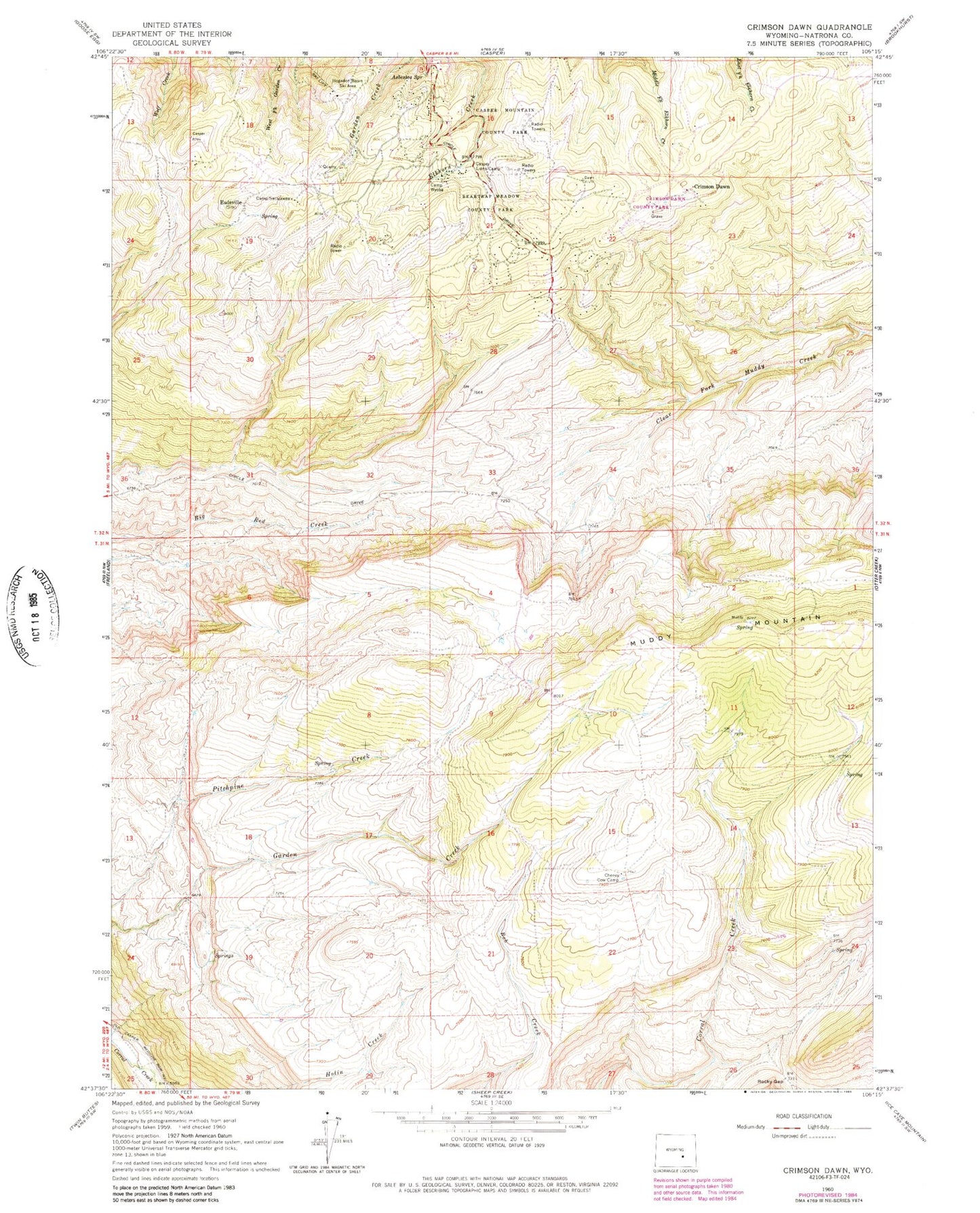
Classic USGS Crimson Dawn Wyoming 7.5'x7.5' Topo Map
Couldn't load pickup availability
Historical USGS topographic quad map of Crimson Dawn in the state of Wyoming. Typical map scale is 1:24,000, but may vary for certain years, if available. Print size: 24" x 27"
This quadrangle is in the following counties: Natrona.
The map contains contour lines, roads, rivers, towns, and lakes. Printed on high-quality waterproof paper with UV fade-resistant inks, and shipped rolled.
Contains the following named places: Asbestos Spring, Beartrap Meadow County Park, Camp Sacajawea, Camp Wyoba, Casper Lions Camp, Casper Mountain County Park, Cheney Cow Camp, Hogadon Basin Ski Area, Rocky Gap, Crimson Dawn, Eadsville (historical), KMGW-FM (Casper), KTRS-FM (Casper), KQLT-FM (Casper), KCSP-FM (Casper), KGWC-TV (Casper), KFNB-TV (Casper), KTWO-TV (Casper), Koch Deposit Number Three, Casper Mountain Mine, Big Red Creek Mine, Muddy Creek Mine, Casper Mountain, Casper Mountain Census Designated Place, Casper Mountain Fire Department, Crimson Dawn Cemetery, Eadsville Cemetery


