MyTopo
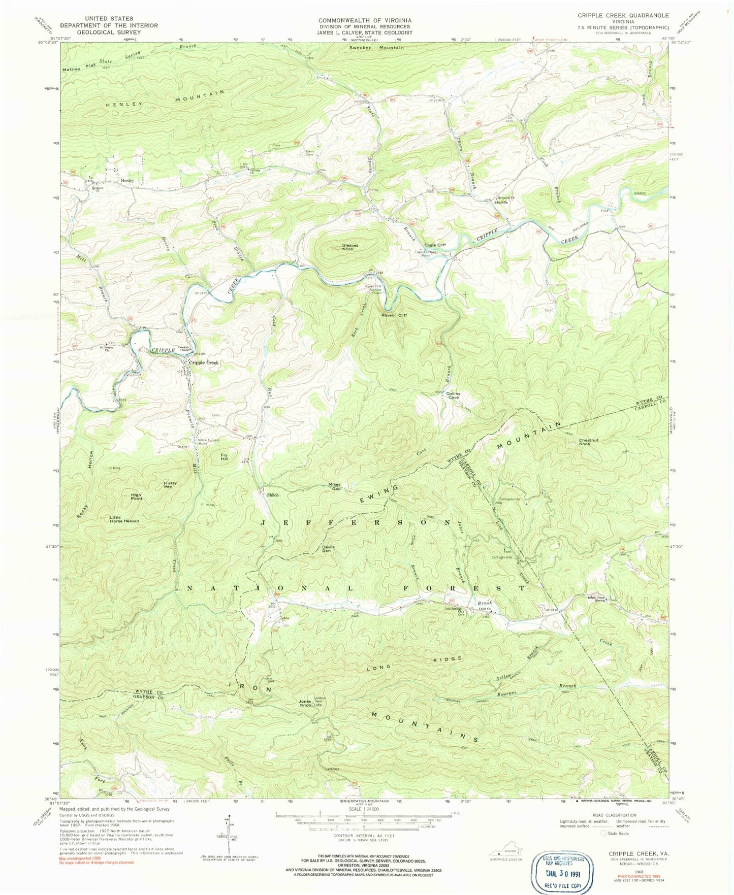
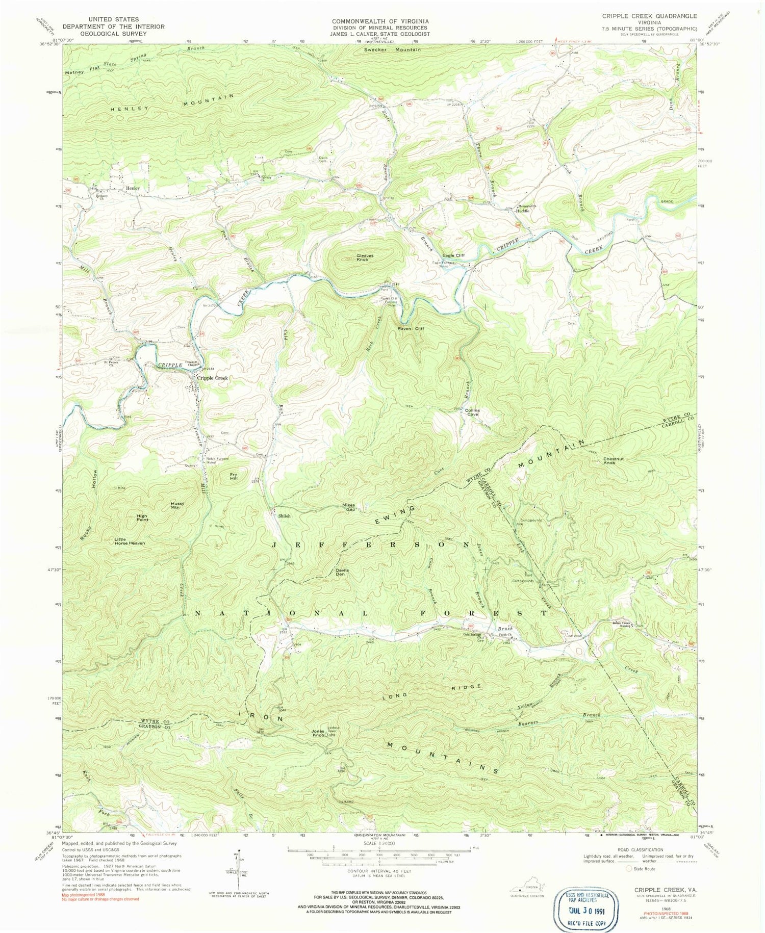
Classic USGS Cripple Creek Virginia 7.5'x7.5' Topo Map
Couldn't load pickup availability
Historical USGS topographic quad map of Cripple Creek in the state of Virginia. Typical map scale is 1:24,000, but may vary for certain years, if available. Print size: 24" x 27"
This quadrangle is in the following counties: Carroll, Grayson, Wythe.
The map contains contour lines, roads, rivers, towns, and lakes. Printed on high-quality waterproof paper with UV fade-resistant inks, and shipped rolled.
Contains the following named places: Bethany Church, Bournes Branch, Bournes Branch Trail, Brush Creek Mission, Calvary Church, Chestnut Knob, Cold Run, Cold Springs Church, Collins Cove, Cook Branch, Coon Branch, Cove Branch, Crockett Chapel, Davis Cemetery, Eagle Cliff, Ewing Mountain, Faith Church, Francis Mill Creek, Gleaves Knob, Henley Creek, Henley Mountain, High Point, Jones Branch, Laurel Hollow, Lick Creek, Little Horse Heaven, Long Ridge, Matney Flat, Memorial Church, Mikes Gap, Mill Branch, Mountain Trail, Penn Branch, Raven Cliff, Raven Cliff Furnace, Rock Creek, Rocky Hollow, Saint Peters Church, Yellow Branch, Yellow Branch Trail, Slate Spring Branch, Thorn Branch, Thorn Creek, Raven Cliff Horse Camp, Miles Gap Trail, Cliff Branch Trail, Raven Cliff Campground, Cripple Creek, Devils Den, Eagle Furnace, Fry Hill, Henley, Huddle, Hussy Mountain, Jones Knob, Noble Furnace, Shiloh, Brush Creek School (historical), The Falls, Mountain View School (historical), Catron (historical), Cove Branch School (historical), Eagle (historical), Henley School (historical), New Hope Church, New Hope School (historical), Slate Spring School (historical)


