MyTopo
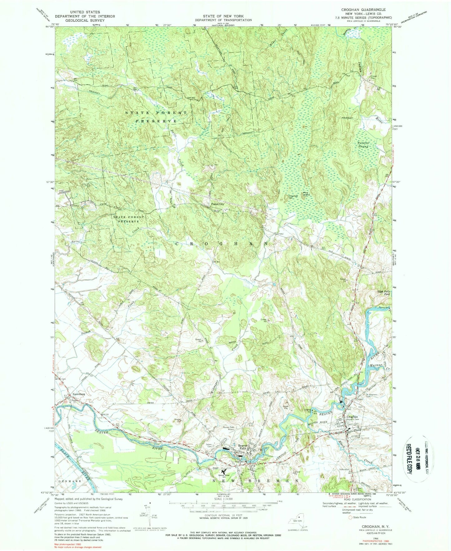
Classic USGS Croghan New York 7.5'x7.5' Topo Map
Couldn't load pickup availability
Historical USGS topographic quad map of Croghan in the state of New York. Typical map scale is 1:24,000, but may vary for certain years, if available. Print size: 24" x 27"
This quadrangle is in the following counties: Lewis.
The map contains contour lines, roads, rivers, towns, and lakes. Printed on high-quality waterproof paper with UV fade-resistant inks, and shipped rolled.
Contains the following named places: Basselin Cemetery, Beaver Falls, Beaver River School, Black Creek, Charlies Hill, Croghan, Murmur Creek, Naumburg, Pine Island, Putman Swamp, Reynolds Creek, Saint Stephens Cemetery, Beaver Falls New Cemetery, Swiss Creek, Widmeyer Creek, Zion Church, Forest City, Village of Croghan, Texas Road School (historical), Wisner School (historical), Swiss Road School (historical), Monnatt School (historical), Beaver River Bridge, New Life Fellowship, Pine Grove Mennonite Church, Salem Christian Fellowship Church, Beaver Falls Library, Croghan Free Library, Croghan Village Sewage Treatment Plant, Beaver Falls Post Office, Croghan Post Office, Hall Dale Acres, Beaver Falls Fire Department, Croghan Volunteer Fire Department, Beaver Falls Old Cemetery


