MyTopo
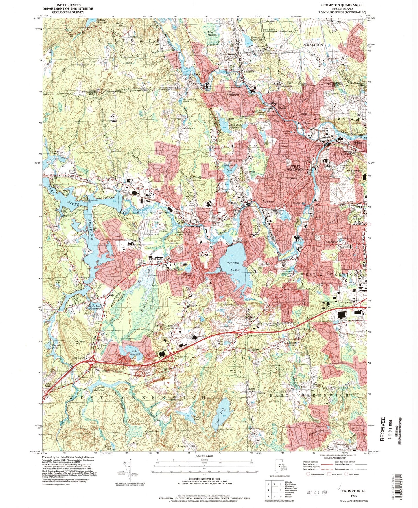
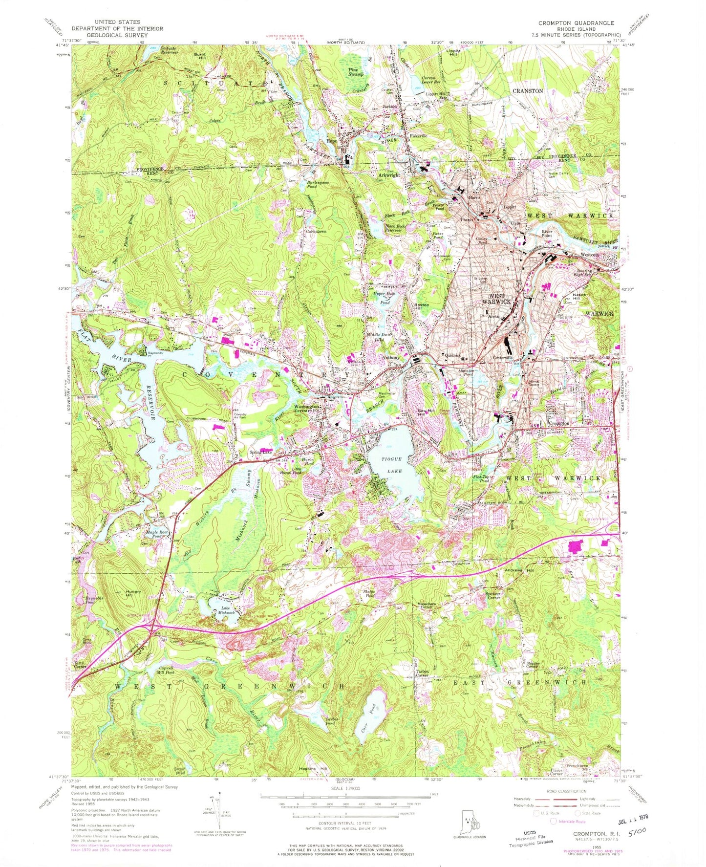
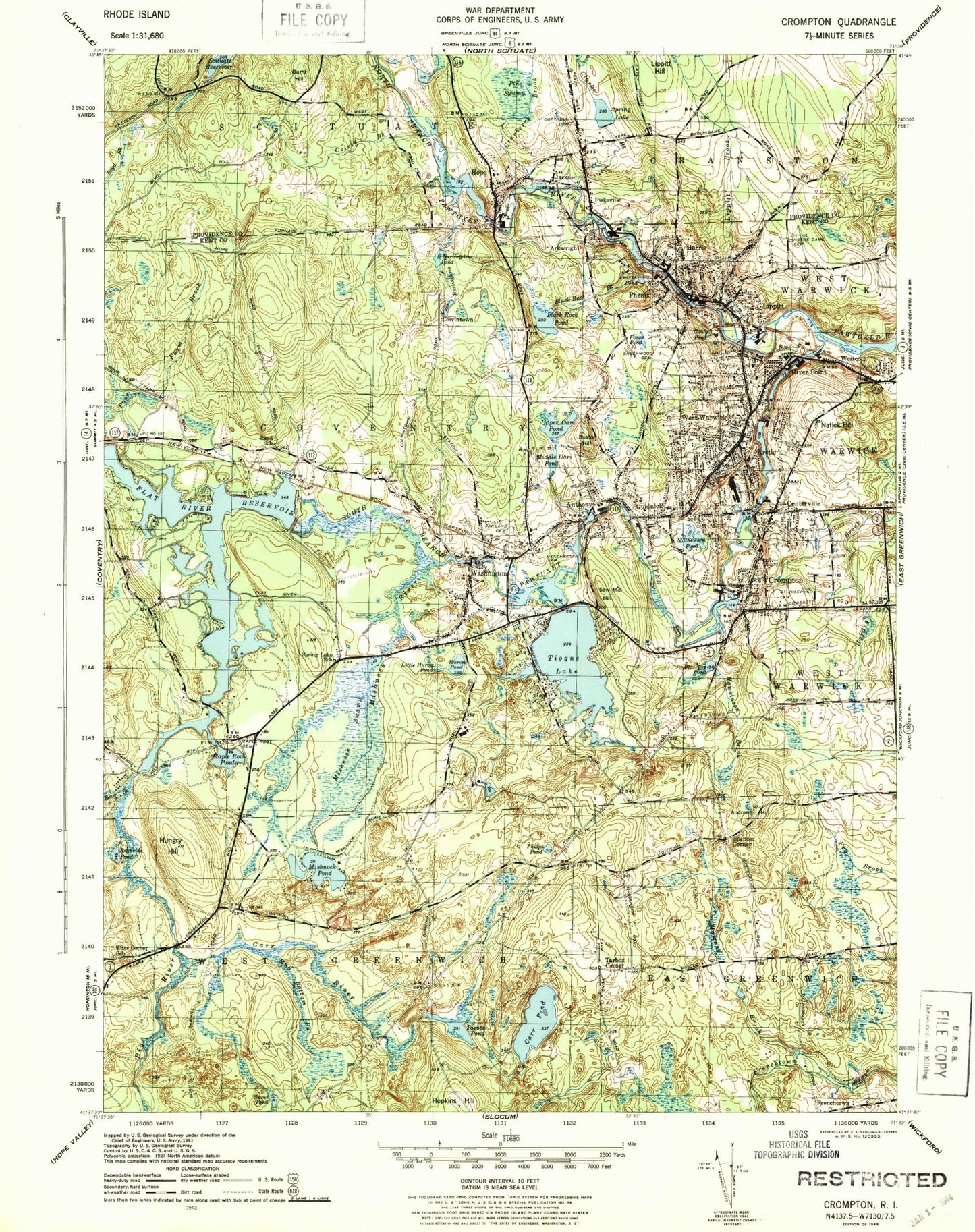
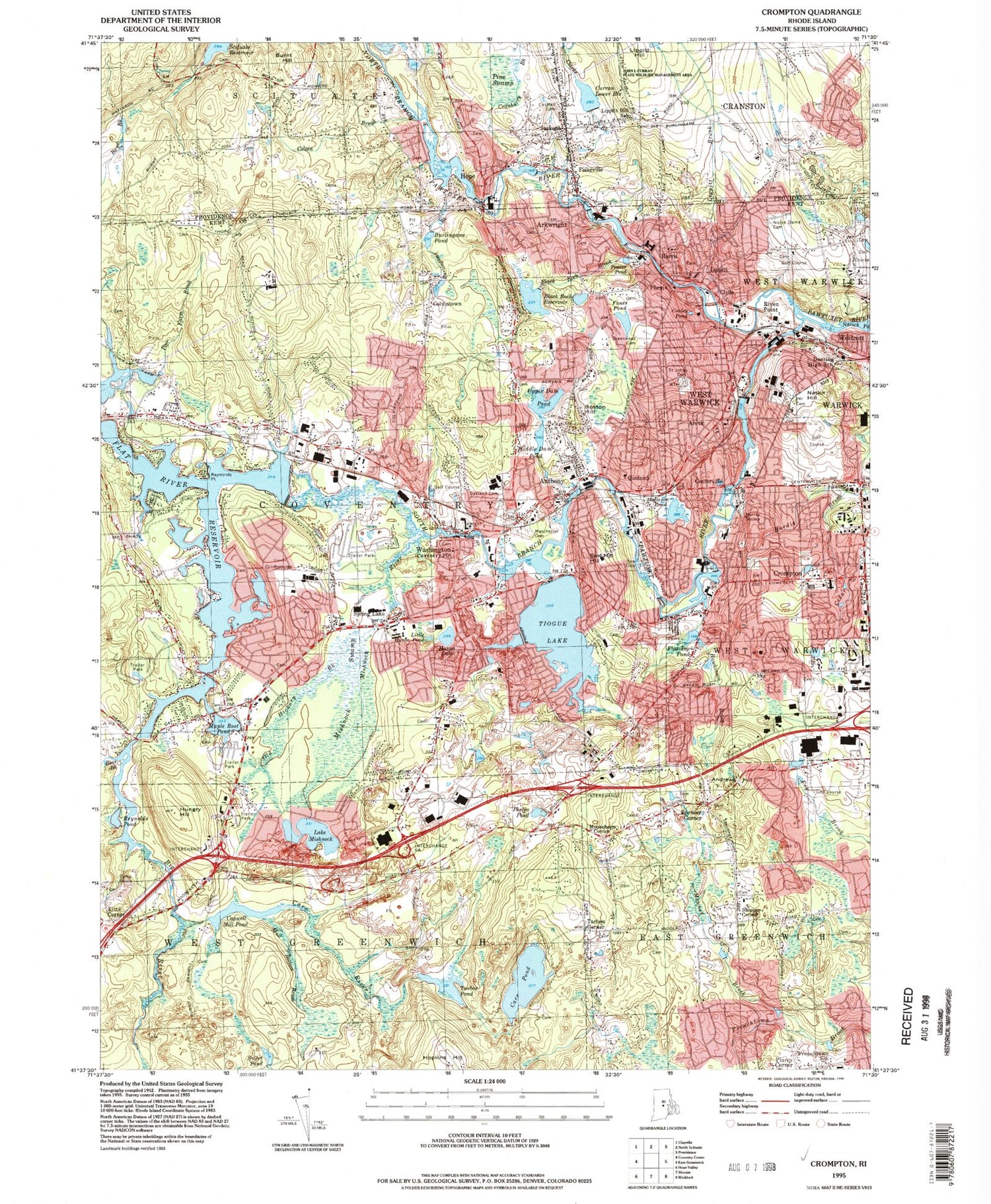
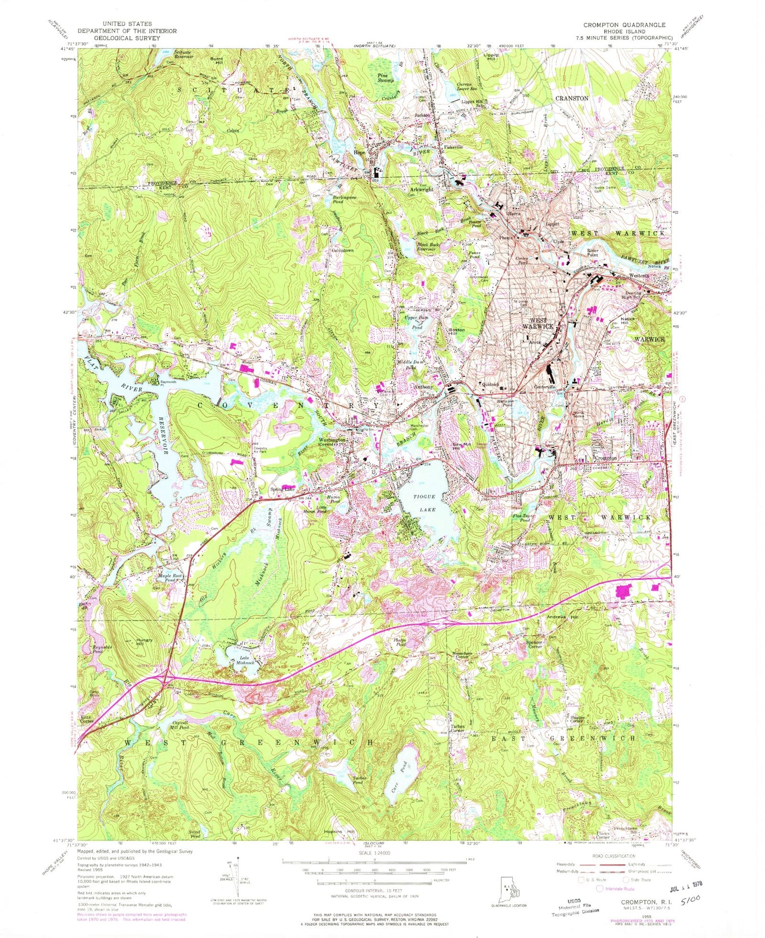
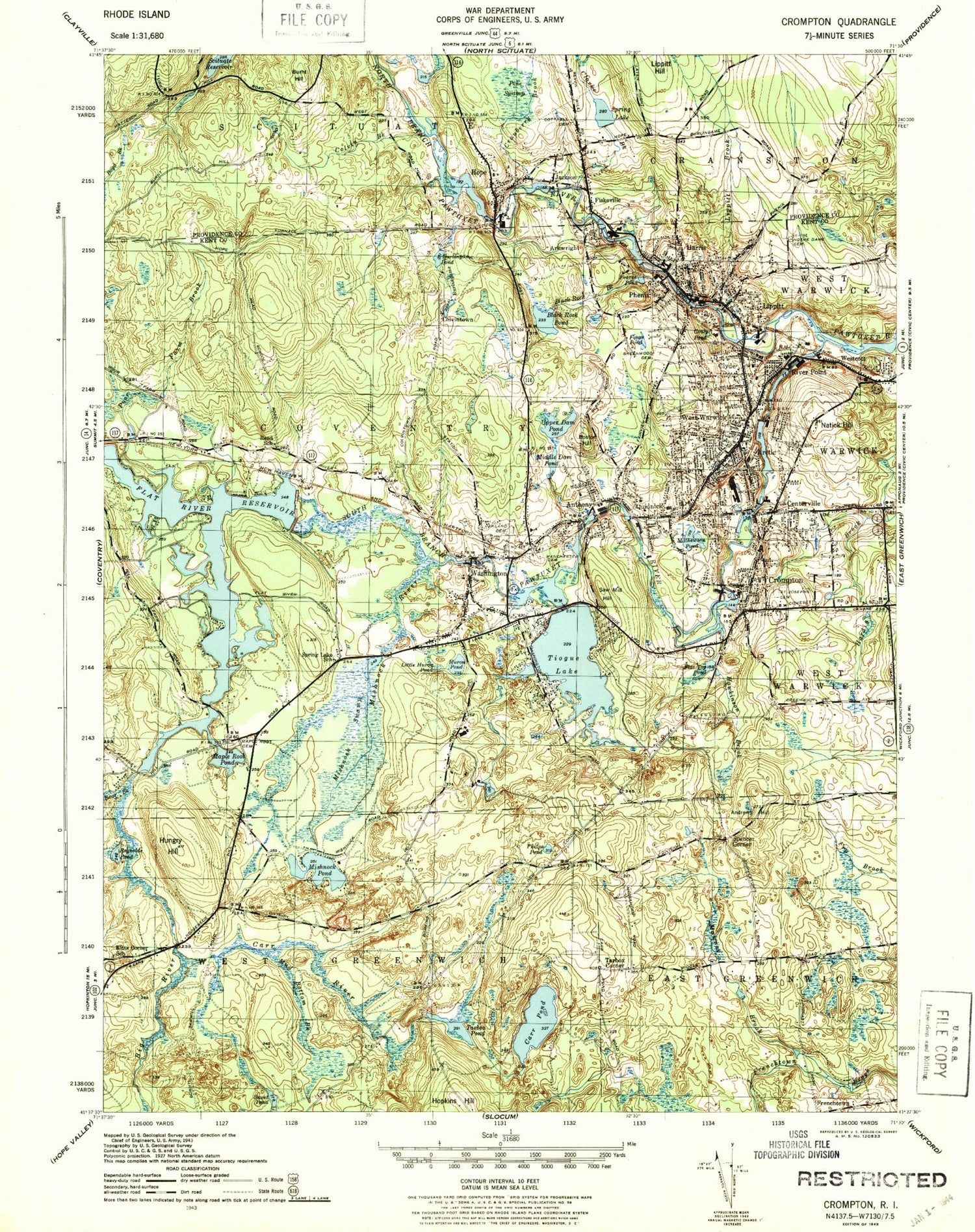
Classic USGS Crompton Rhode Island 7.5'x7.5' Topo Map
Couldn't load pickup availability
Historical USGS topographic quad map of Crompton in the state of Rhode Island. Typical map scale is 1:24,000, but may vary for certain years, if available. Print size: 24" x 27"
This quadrangle is in the following counties: Kent, Providence.
The map contains contour lines, roads, rivers, towns, and lakes. Printed on high-quality waterproof paper with UV fade-resistant inks, and shipped rolled.
Contains the following named places: Carr River, Capwell Mill Pond, Mud Bottom Brook, Sweet Pond, Tarbox Pond, Carr Pond, Andrews Hill, Phelps Pond, Camp Bosco, Hungry Hill, Mawney Brook, Reynolds Pond, Bear Brook, Maple Root Pond, Mishnock Swamp, Old Hickory Brook, Spring Lake, Little Huron Pond, Huron Pond, Tiogue Lake, Flat Top Pond, Hawkinson Brook, Crompton, Cedar Brook, Centerville, Arctic, Matteson Pond, Saw Mill Hill, Anthony, Middle Dam Pond, Washington, Mishnock River, Flat River Reservoir, Raymonds Point, Poor Farm Brook, Burlingame Pond, Burlingame Brook, Upper Dam Pond, Boston Hill, Black Rock Reservoir, Black Rock Brook, Fones Pond, Pearce Pond, Conley Pond, West Warwick, Natick Hill, South Branch Pawtuxet River, Natick Pond, Lippitt Hill, Fiskeville, Clarke Brook, Jackson, Pine Swamp, Cranberry Brook, Hope, Arkwright, Colvin Brook, Burnt Hill, Lippitt Brook, North Branch Pawtuxet River, Big River, Coventry Airpark (historical), Carr Pond Dam, Tarbox Pond Dam, Pawtuxet River, Crompton Lower Dam, Tiogue Lake Dam, Pawtuxet River, Washington Pond Upper Dam, Pawtuxet River, Mill Pond Dam, Flat River Reservoir Dam, Pawtuxet River, Centerville Pond Dam, Upper Dam Pond Dam, Pawtuxet River-South Branch, Arctic Dam, Black Rock Reservoir Dam, Pawtuxet River, Hope Dam, Birch Hill (historical), Birch Hill (historical), Kitts Corner, Tarbox Corner, Shippee Corner, Moosehorn Corner, Quidnick, Colvintown, Harris, Phenix, Lippitt, Clyde, River Point, Kent County, WCVY-FM (Coventry), WKRI-AM (West Warwick), John L Curran Lower Reservoir, Lake Mishnock, Spencers Corner, Town of West Warwick, Town of East Greenwich, Balm of Gilead Corner, Bethesda Christian Fellowship, Brayton Meadows, Cards Saw Mill (historical), Christ the King Religious Church, Coventry High School, Coventry Middle School, Cowessett Corners Shopping Center, East Greenwich Golf Course, Bailey - Brayton Plot, Rodman Vaughn Plot, Spencer Plot, Capron - Bailey Lot Cemetery, Spencer - Briggs Lot Cemetery, John Spencer Plot, Daniel C Bailey Lot Cemetery, Spencer - Shippee Plot, Walter Spencer Lot Cemetery, Greene Lot Cemetery, Cornell - Briggs Plot, Joseph Card Plot, Samuel Shippee Plot, Thomas Brayton Plot, Robert Vaughn Plot, Joanna Vaughn Plot, Spencer Shippee Plot, Joseph Carpenter Plot, Emanuel Lutheran Church, Francis B Sargent Rehabilitation Center, Frenchtown School, General Nathaniel Green Homestead, General Thomas Westcott Plot, Greenwood Cemetery, Holden - Bicknell - Taylor Cemetery, Ike Shippee Corner, John F Deering Middle School, John F Deering Middle School Annex, John F Horgan Elementary School, Kitts Corner School (historical), Lippitt Mill (historical), Plainland Cemetery, Massie E Quinn Elementary School, Midville Country Club, Notre Dame Cemetery, Notre Dame Regional School, Oak Haven School, Phenix Baptist Church, Riverpoint Congregational Church, Robert H Champlin Memorial Library, Rocky Hill Fairgrounds, Saint John the Baptist Church, Saint John the Baptist School, Saint Mary's Cemetery, Saint Marys Church, Saint Marys Crompton Rectory Cemetery, Shippee - Arnold Cemetery, Shippees Mill (historical), Spencer Mill, Spring Lake School (historical), Tillinghast Cotton Mill Twine Factory (historical), Valley Country Club on Ledgemont, Warwick Musical Theatre, West Bay Collaborative School, West Warwick Church of God, West Warwick Country Club, West Warwick Post Office, Blackrock School, West Bay Area Career and Technical Center, Cottrell Lot Cemetery, Cranston Country Club, Hopeville Post Office (historical), Hope Elementary School, Hope Library, Interlaken Mill Bridge, J L Curran Park, Lippitt Hill School, Shepherd of the Valley Church, Tabernacle Baptist Church, West Warwick Census Designated Place, Valley Queen Mill (historical), A Step Up Day Care Center, Coventry Fire District Anthony Fire Station, Arctic Center Child Development Center, Central Coventry Fire Department Station 1, Central Coventry Fire District Station 3, Central Coventry Fire District Station 4, Childrens Centre of New England, Coventry Police Department, Coventry Public Library, Coventry Town Hall, Crompton Family Health Services Building, Crompton Free Library, GTECH Child Care Center, Central Coventry Fire District Station 5, Hope Jackson Fire Company, Hopkins Hill Fire District, Joyful Noise Day Care Center, Lake Mishnock Volunteer Fire Department, Primary Colors Childrens Centre of New England, Scituate Police Department, Tides Family Services Center, Tiogue Fire Department, Washington Fire Department, West Warwick Fire Department Station 1 Headquarters, West Warwick Fire Department Station 2, West Warwick Fire Department Station 4, West Warwick Police Department, West Warwick Public Library, West Warwick Town Hall, Fiskeville Post Office, Hope Post Office, A Precious Moment Child Academy, East Greenwich Preschool, Father John Doyle School, Flat Rock Middle School, Greenbush Elementary School, Hopkins Hill School, Knotty Oak Middle School, Little Oaker Preschool, Riverpoint Kindergarten and Nursery School, Rumford Day Nursery School Number 3, Saint Philips Day Nursery School, Sunrise Academy, The Academy for Little Children, The Storks Nest Child Academy III, Tiogue School, Wakefield Hills Elementary School, Washington Oak School, West Warwick Senior High School, Hazard Brothers Orchard, Hazards Indian Rock Orchard, East Greenwich Fire District Station 2, Rhode Island Level 1 Disaster Medical Assistance Team, Coventry Post Office, Centerville Methodist Cemetery
