MyTopo
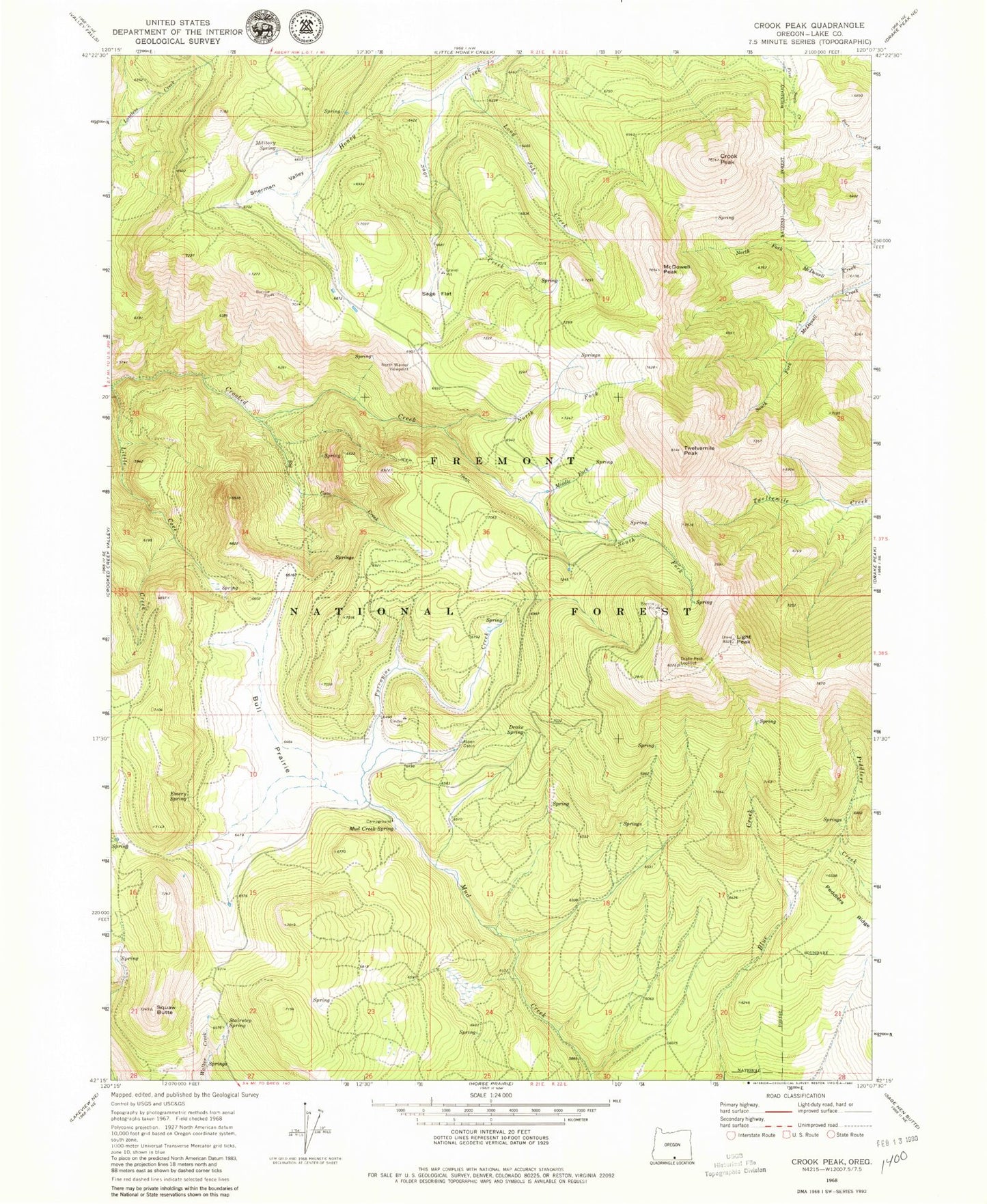
Classic USGS Crook Peak Oregon 7.5'x7.5' Topo Map
Couldn't load pickup availability
Historical USGS topographic quad map of Crook Peak in the state of Oregon. Typical map scale is 1:24,000, but may vary for certain years, if available. Print size: 24" x 27"
This quadrangle is in the following counties: Lake.
The map contains contour lines, roads, rivers, towns, and lakes. Printed on high-quality waterproof paper with UV fade-resistant inks, and shipped rolled.
Contains the following named places: Aspen Cabin, Big Cove Creek, Bull Prairie, Crook Peak, Drake Peak Lookout, Drake Spring, Emery Spring, Light Peak, Long John Creek, McDowell Peak, Military Spring, Mud Creek Spring, North Fork Crooked Creek, Porcupine Creek, Sage Creek, Sage Flat, Sherman Valley, South Fork Crooked Creek, Squaw Butte, Stairstep Spring, Twelvemile Peak, Woodchopper Spring, North Warner Viewpoint, Middle Fork Crooked Creek, Peddlers Ridge, Mud Creek Recreation Site, Aspen Cabin Recreation Site, Overton Reservoir Recreation Site (historical), South Fork Crooked Creek Horse Camp, Walker Trailhead


