
MyTopo
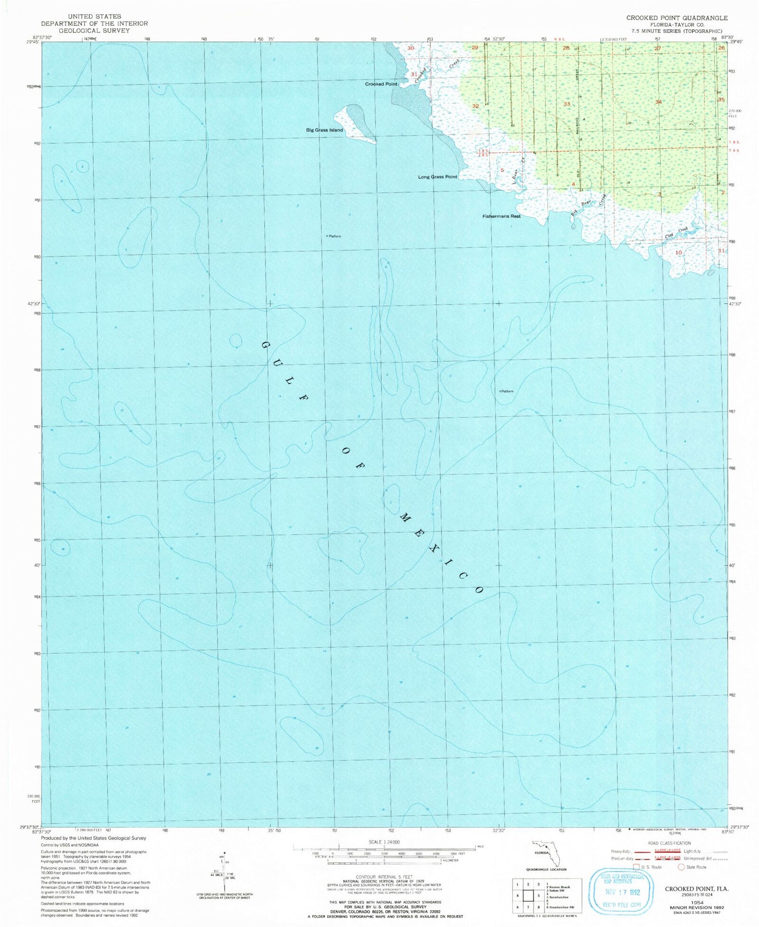
Classic USGS Crooked Point Florida 7.5'x7.5' Topo Map
Regular price
$16.95
Regular price
Sale price
$16.95
Unit price
per
Couldn't load pickup availability
Historical USGS topographic quad map of Crooked Point in the state of Florida. Map scale may vary for some years, but is generally around 1:24,000. Print size is approximately 24" x 27"
This quadrangle is in the following counties: Taylor.
The map contains contour lines, roads, rivers, towns, and lakes. Printed on high-quality waterproof paper with UV fade-resistant inks, and shipped rolled.
Contains the following named places: Big Bear Creek, Big Bend Light 18, Big Grass Island, Clay Creek, Crooked Creek, Crooked Point, Fishermans Rest, Little Bear Creek, Long Grass Point, University of Florida Lighted Data Tower


