MyTopo
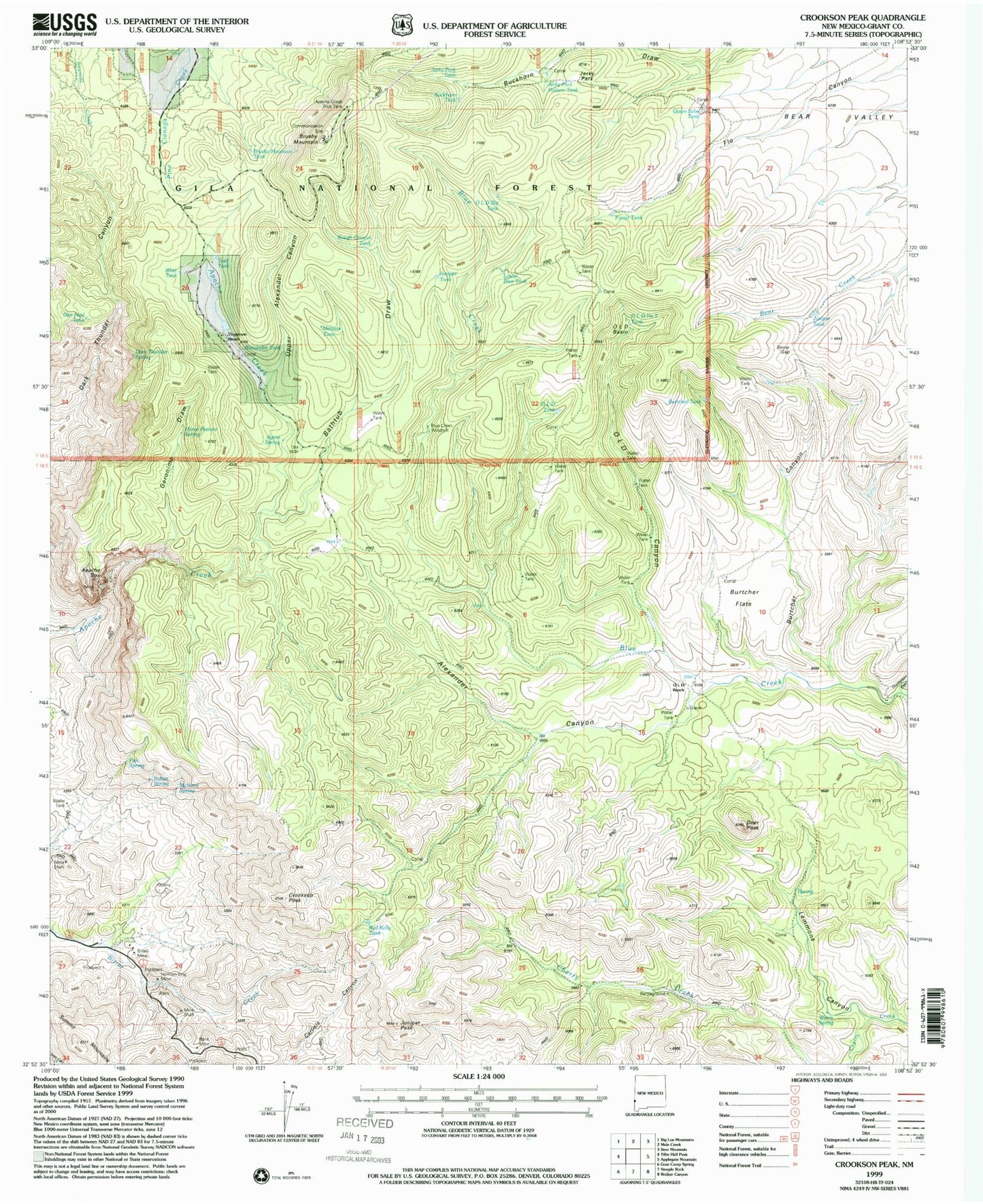
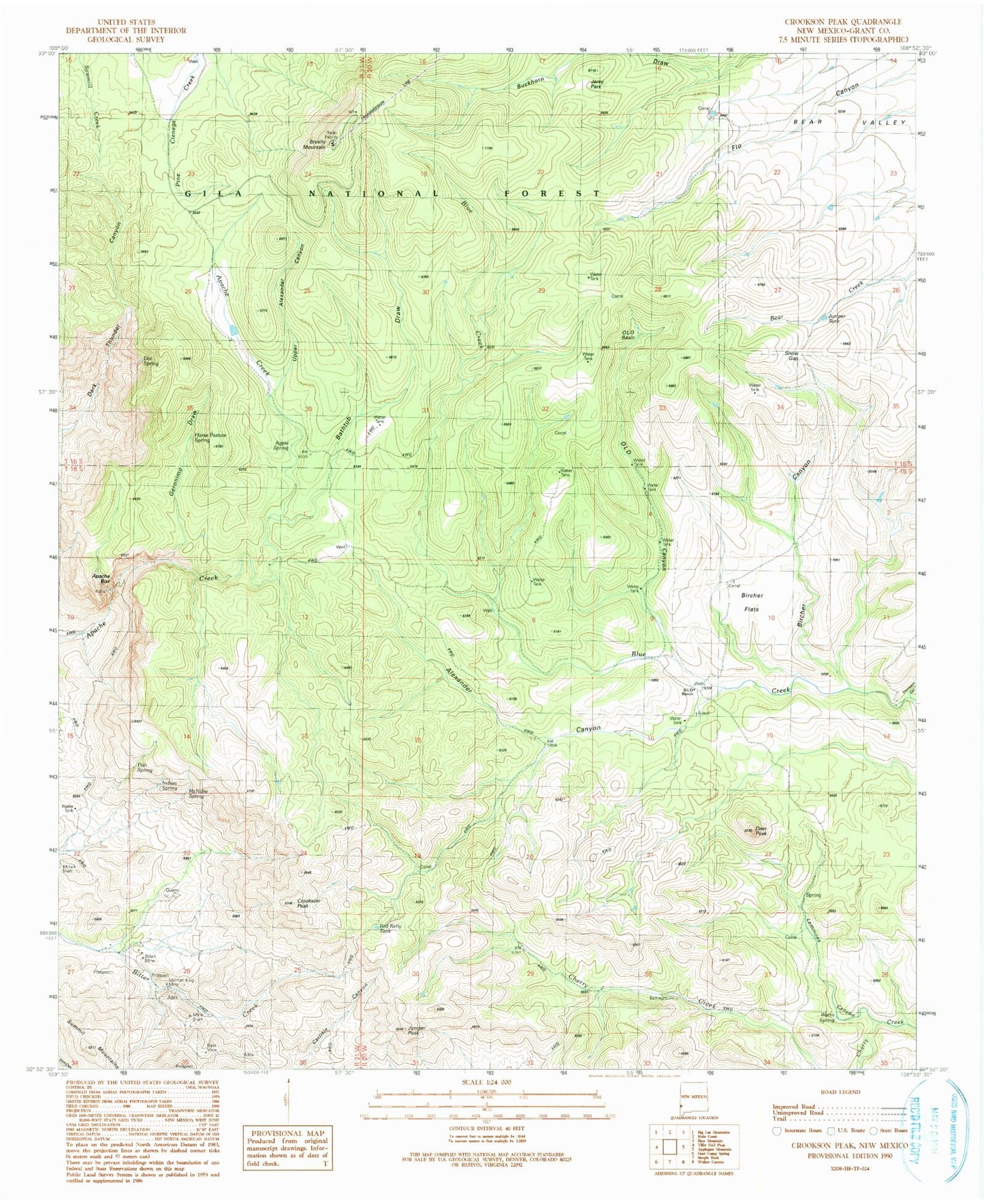
Classic USGS Crookson Peak New Mexico 7.5'x7.5' Topo Map
Couldn't load pickup availability
Historical USGS topographic quad map of Crookson Peak in the state of New Mexico. Map scale may vary for some years, but is generally around 1:24,000. Print size is approximately 24" x 27"
This quadrangle is in the following counties: Grant.
The map contains contour lines, roads, rivers, towns, and lakes. Printed on high-quality waterproof paper with UV fade-resistant inks, and shipped rolled.
Contains the following named places: Agate Spring, Alexander Canyon, Alexander Tank, Alexander Windmill, Apache Box, Apache Box Wilderness Study Area, Apache Creek Trick Tank, B 17 Windmill, Bank Mine, Bathtub Draw, Billalli Mine, Black Willow Prospect, Blue Creek Windmill, Brushy Mountain, Brushy Mountain Radar Station, Brushy Mountain Tank, Buckhorn Tank, Burtcher Canyon, Burtcher Flats, Burtcher Tank, Chapman Place, Chapman Place Windmill, Crookson Peak, Dan Neal Tank, Dark Thunder Spring, Deer Peak, Estes Place, Fish Spring, Forrest Tank, Geronimo Draw, Geronimo Water Tank, Horse Pasture Spring, Indian Spring, Jerky Park, Jerky Park Pasture Tank, Jerky Park Tank, Juniper Peak, Juniper Tank, Lemmons Canyon, Lower Blue Tank, Malpais Tank, McCarty Windmill, McNaire Spring, Moore Place, Moore Place Windmill, Norman King Mine, O L D Basin, O L D Canyon, O L D Ranch, Old Big Tank, Old Number Two Tank, Old Tank, Quien Sabe Tank, Rally Tank, Red Kelly Tank, Rough Canyon Tank, Schale, Sid Place, Snow Gap, Summit Mountains, Thompson Canyon, Thygerson Ranch, Trail Tank, Upper Alexander Canyon, Utah Bill Spring, Utah Bill Well, Warm Spring, West Tank, Wood Yard Windmill, ZIP Code: 88051


