
MyTopo
Classic USGS Crookston NE Minnesota 7.5'x7.5' Topo Map
Couldn't load pickup availability
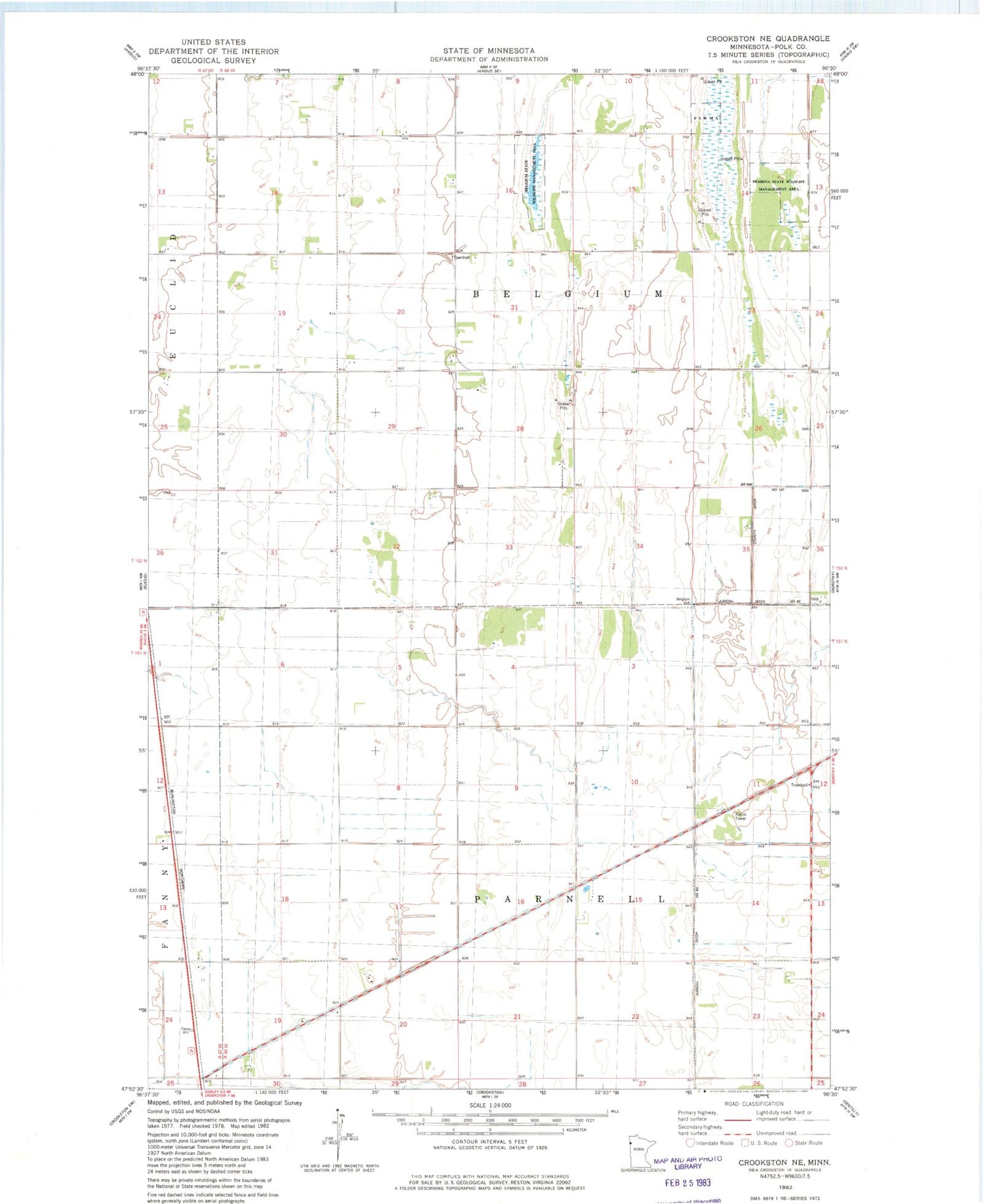
Historical USGS topographic quad map of Crookston NE in the state of Minnesota. Map scale may vary for some years, but is generally around 1:24,000. Print size is approximately 24" x 27"
This quadrangle is in the following counties: Polk.
The map contains contour lines, roads, rivers, towns, and lakes. Printed on high-quality waterproof paper with UV fade-resistant inks, and shipped rolled.
Contains the following named places: Belgium State Wildlife Management Area, County Ditch Number One Hundred Fortyseven, Gasper Airport, Kaml Airstrip, KQMN-FM (Thief River Falls), KSNR-FM (Thief River Falls), KVVL-FM (Thief River Falls), Pembina State Wildlife Management Area, School Number 179, School Number 29, Township of Belgium, Township of Parnell


