MyTopo
Classic USGS Cross Anchor South Carolina 7.5'x7.5' Topo Map
Couldn't load pickup availability
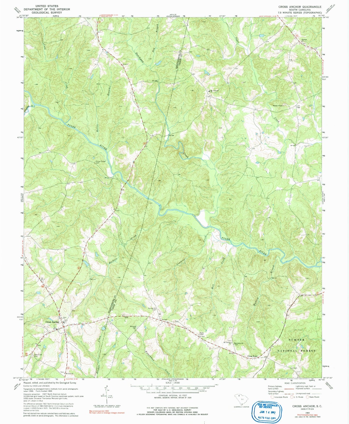
Historical USGS topographic quad map of Cross Anchor in the state of South Carolina. Map scale may vary for some years, but is generally around 1:24,000. Print size is approximately 24" x 27"
This quadrangle is in the following counties: Spartanburg, Union.
The map contains contour lines, roads, rivers, towns, and lakes. Printed on high-quality waterproof paper with UV fade-resistant inks, and shipped rolled.
Contains the following named places: Beddington Mountain, Belmont Cemetery, Belmont Church, Black Jack Valley, Blackstock Road Cemetery, Blackstocks Ford, Bogansville Church, Burnt Factory Bridge, Cane Creek, Church of God, Colerain, Colerain School, Cowdens Creek, Cross Anchor, Cross Anchor Census Designated Place, Cross Anchor Fire Department, Cross Anchor School, Cross Anchor Yarborough United Methodist Church Graveyard, Cross Keys, Cross Keys Fire Department, Cross Keys School, D Correctional Pond Dam D-3391, Dry Branch, Dutchman, Dutchman Creek, Dutchman School, Foster Family Cemetery, G H Southerland Pond Dam D-3392, Grace Chapel, Grace Chapel Cemetery, Green Pond School, Hackers Creek, Jimmies Creek, Lawson Cemetery, Macedonia Church, Macedonia Church Graveyard, Meadow Woods, Mill Creek, Motley Branch, Mount Calvary Baptist Church, Mount Calvary Baptist Church Graveyard, Mount Calvary School, Mount Lebanon Baptist Church, Mount Lebanon Baptist Church Cemetery, Mount Pleasant Baptist Church Graveyard, Mount Zion Christian Methodist Episcopal Church Cemetery, Mount Zion Church, New Hope Baptist Church, New Hope Baptist Church Graveyard, Putman Baptist Church, Putman Baptist Church Graveyard, Putnam School, Spring Hill Cemetery, Spring Hill Christian Methodist Episcopal Church, Trail Branch, Tyger River Correctional Institution, Vernon Bridge, Wildcat, Wofford Branch, Wyatts Chapel, Wyatts Chapel Baptist Church Graveyard, Wyatts School, ZIP Code: 29331


