MyTopo
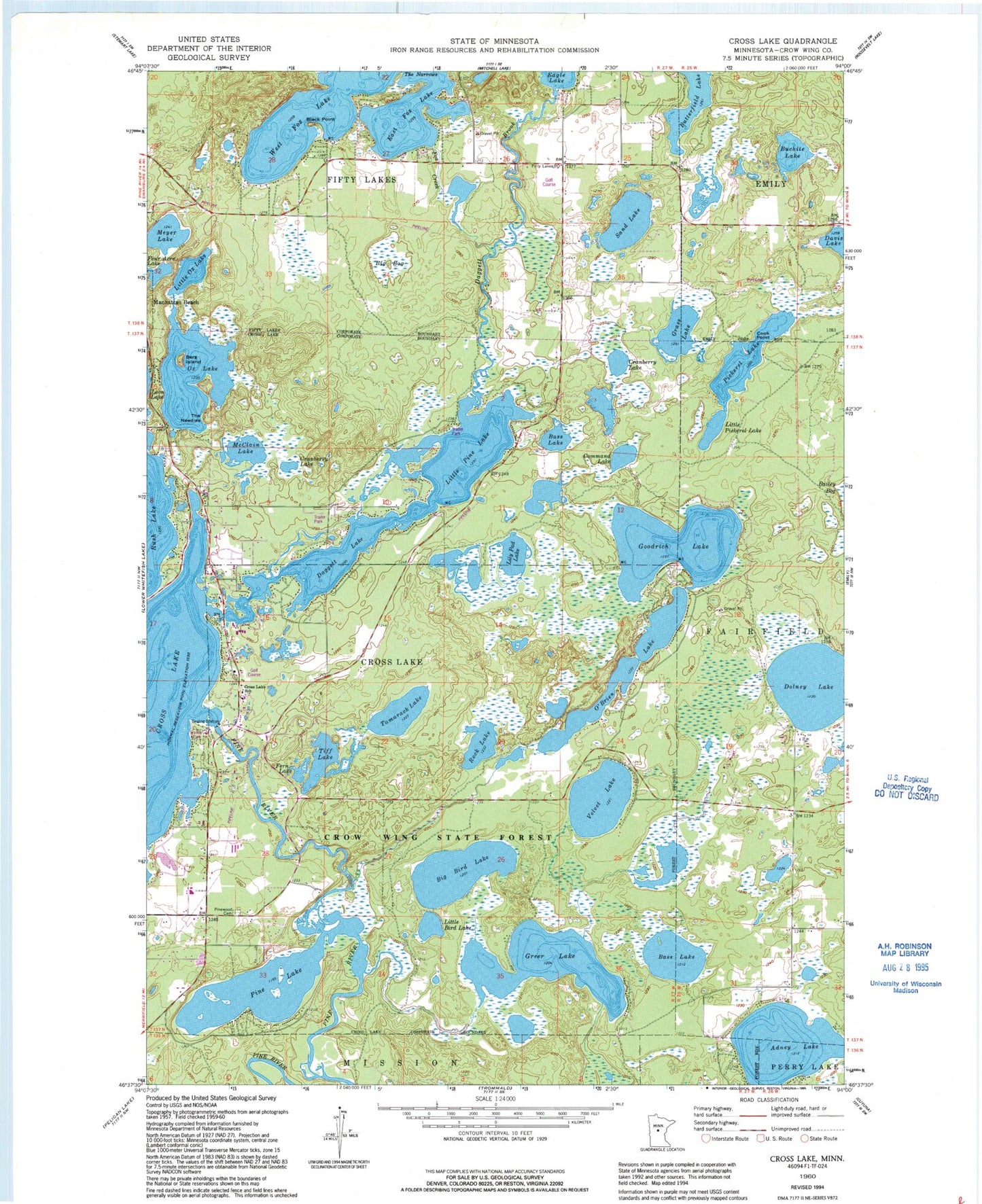
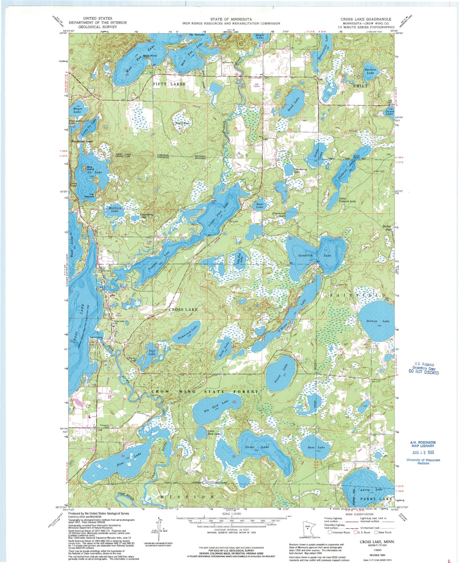
Classic USGS Cross Lake Minnesota 7.5'x7.5' Topo Map
Couldn't load pickup availability
Historical USGS topographic quad map of Cross Lake in the state of Minnesota. Typical map scale is 1:24,000, but may vary for certain years, if available. Print size: 24" x 27"
This quadrangle is in the following counties: Crow Wing.
The map contains contour lines, roads, rivers, towns, and lakes. Printed on high-quality waterproof paper with UV fade-resistant inks, and shipped rolled.
Contains the following named places: Adney Lake, Bass Lake, Bass Lake, Berg Island, Big Bird Lake, Big Bog, Black Point, Buchite Lake, Command Lake, Cook Point, Cranberry Lake, Cranberry Lake, Cross Lake, Cross Lake School, Daggett Creek, Daggett Lake, Davis Lake, Fern Lake, Fifty Lakes, Four Acre Lake, Fox Creek, Goodrich Lake, Grass Lake, Lily Pad Lake, Little Bird Lake, Little Ox Lake, Little Pickerel Lake, Little Pine Lake, McClain Lake, Meyer Lake, O'Brien Lake, Ox Lake, Pickerel Lake, Pine Lake, Pinewood Cemetery, Rock Lake, Sand Lake, Tamarack Lake, The Needles, Tiff Lake, Velvet Lake, East Fox Lake, The Narrows, West Fox Lake, Dolney Lake, Crosslake Post Office, Fifty Lakes Village Post Office, Eagle Lake Dam, Greer Lake Dam, Greer Lake, Velvet Lake Dam, Phelps Lake, Pine River Dam, Pine River Reservoir, Velvet Beach Park Campground, Golden Rule Trailer Park, Caressant House, Crosslake Area Historical Society / Historical Log Village, Crossroads Christian Assembly Church, Immaculate Heart Catholic Church, Crosslake Police Department, Crosslake Volunteer Fire Department, Crosslake City Hall, Crosslake Evangelical Free Church, Crosslake Presbyterian Church, Mission of the Cross Lutheran Church, Crossroads Golf Course, Fifty Lakes City Hall, Fifty Lakes Daggett Brook Campground, City of Crosslake, Fifty Lakes Fire and Rescue Department


