MyTopo
Classic USGS Cross Mountain California 7.5'x7.5' Topo Map
Regular price
$16.95
Regular price
Sale price
$16.95
Unit price
per
Couldn't load pickup availability
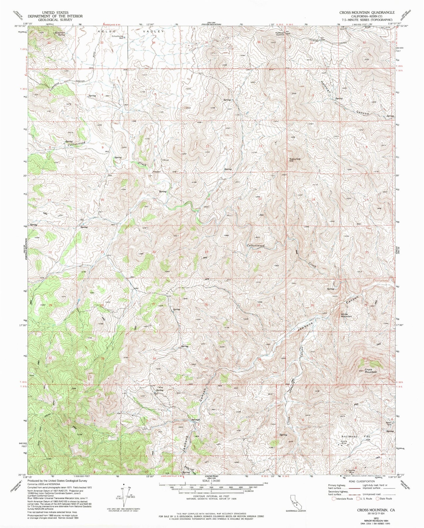
Historical USGS topographic quad map of Cross Mountain in the state of California. Map scale may vary for some years, but is generally around 1:24,000. Print size is approximately 24" x 27"
This quadrangle is in the following counties: Kern.
The map contains contour lines, roads, rivers, towns, and lakes. Printed on high-quality waterproof paper with UV fade-resistant inks, and shipped rolled.
Contains the following named places: Amalia Mine, Antimony Flat, Braitman Spring, Cottonwood Creek, Cross Mountain, Falls Creek, Hoffman Summit, Kelso Valley, Landers School, Little Jawbone Canyon, Schoolhouse Well, Skyline Mine, Toms Hill, White Mountain