MyTopo
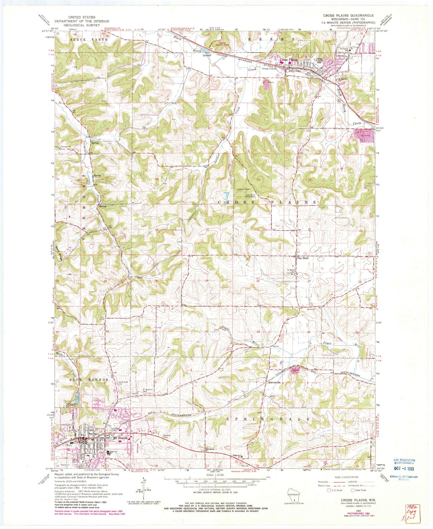
Classic USGS Cross Plains Wisconsin 7.5'x7.5' Topo Map
Couldn't load pickup availability
Historical USGS topographic quad map of Cross Plains in the state of Wisconsin. Map scale may vary for some years, but is generally around 1:24,000. Print size is approximately 24" x 27"
This quadrangle is in the following counties: Dane.
The map contains contour lines, roads, rivers, towns, and lakes. Printed on high-quality waterproof paper with UV fade-resistant inks, and shipped rolled.
Contains the following named places: Brunner Dam, Burns Grain Farms, Capitol Sand Pit, Cross Plains, Cross Plains Berry Emergency Medical Services, Cross Plains Fire Department, Cross Plains Police Department, Cross Plains Post Office, Cross Plains Wastewater Treatment Plant, Early Learning Center, Festbe County Park, First Norwegian Lutheran Cemetery, Garfoot Creek, Glacier Creek Middle School, Immanuel Lutheran Church, Klevenville, Morningwood Farm Nursery, Mount Horeb, Mount Horeb Area Joint Fire Department and Emergency Medical Service Station 1, Mount Horeb Dam, Mount Horeb Evangelical Lutheran Church, Mount Horeb High School, Mount Horeb Intermediate Center, Mount Horeb Middle School, Mount Horeb Police Department, Mount Horeb Post Office, Mount Horeb Primary Center, Mount Horeb Union Cemetery, New Observatory Woods State Natural Area, North Side Cemetery, Park Elementary School, Pine Bluff, Pine Bluff Observatory, Ridgeview Early Learning Center, Saint Francis Xavier Catholic Church, Saint Francis Xavier Cemetery, Saint Francis Xavier School, Saint Ignatius Calvary Cemetery, Saint Ignatius Catholic Church, Saint Martins Church, Saint Mary of Pine Bluff Cemetery, Saint Marys of Pine Bluff Catholic Church, Saint Marys School, Salmo Pond, Shamrock Farms, Solvang Tree Nursery, Springdale Lutheran Church, Springdale Lutheran Church Cemetery, Stewart Lake 2, Stewart Park, Town of Cross Plains, Valley Home Cemetery, Vermont Lutheran Church, Vermont Lutheran Church Cemetery, Village of Cross Plains, Village of Mount Horeb, WMLI-FM (Sauk City), ZIP Codes: 53515, 53528


