MyTopo
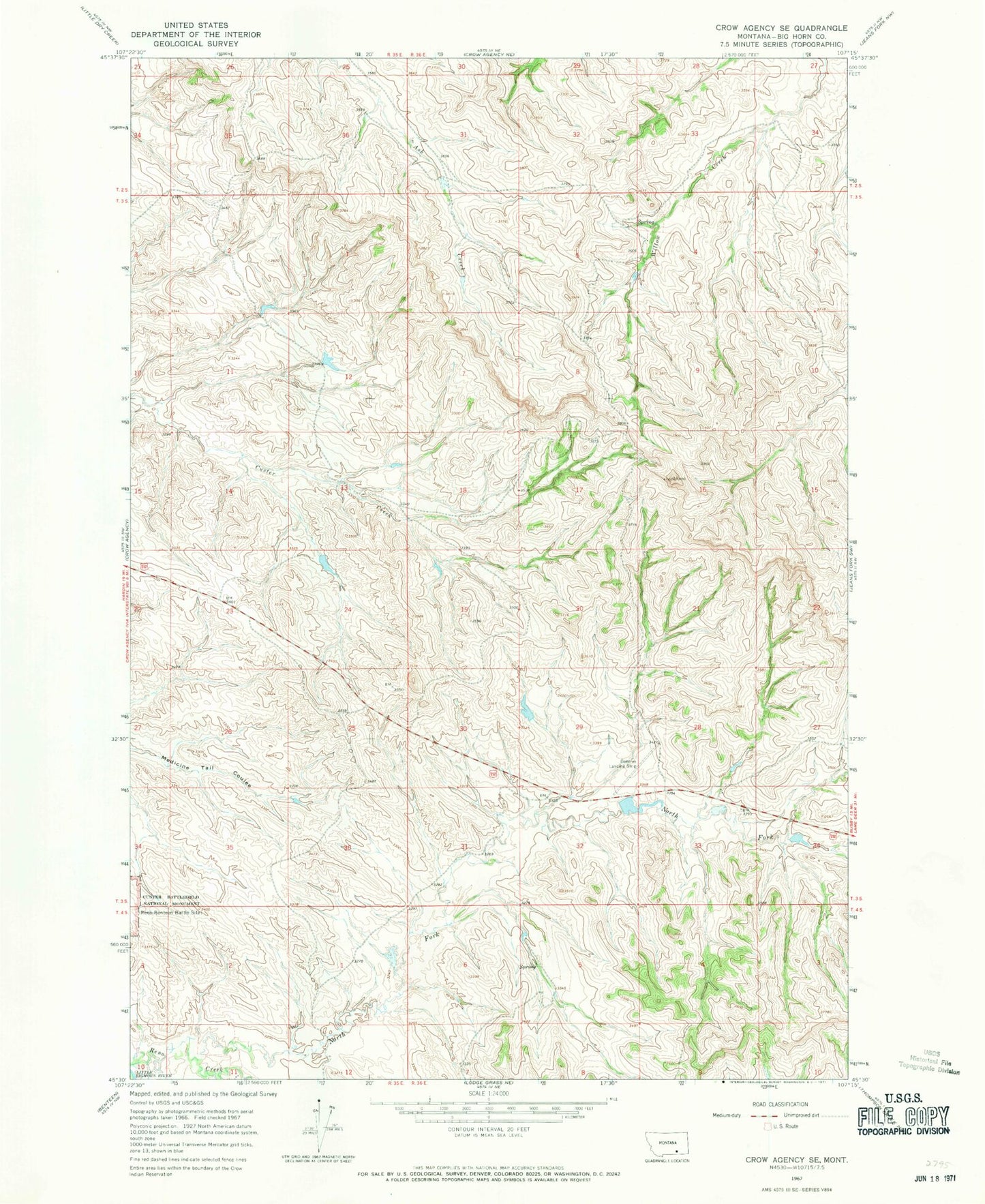
Classic USGS Crow Agency SE Montana 7.5'x7.5' Topo Map
Regular price
$16.95
Regular price
Sale price
$16.95
Unit price
per
Couldn't load pickup availability
Historical USGS topographic quad map of Crow Agency SE in the state of Montana. Typical map scale is 1:24,000, but may vary for certain years, if available. Print size: 24" x 27"
This quadrangle is in the following counties: Big Horn.
The map contains contour lines, roads, rivers, towns, and lakes. Printed on high-quality waterproof paper with UV fade-resistant inks, and shipped rolled.
Contains the following named places: North Fork Reno Creek, Crow Number 60 Dam, D S Scott Number 3 Dam, 04S35E11ACCD02 Well, 04S3511ACCD01_ Well, Reno Ford