MyTopo
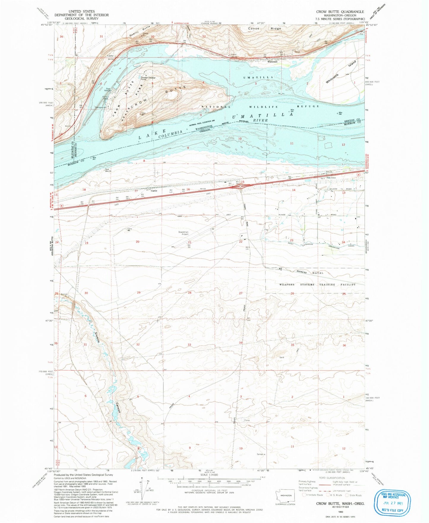
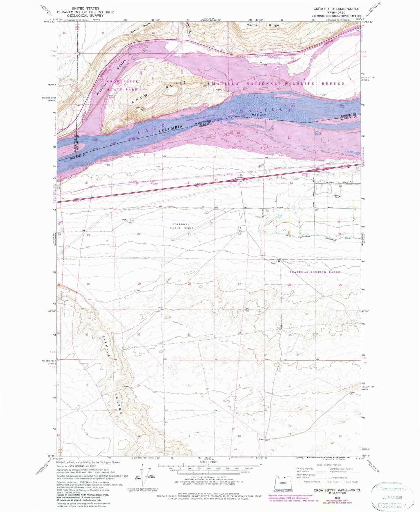
Classic USGS Crow Butte Washington 7.5'x7.5' Topo Map
Couldn't load pickup availability
Historical USGS topographic quad map of Crow Butte in the states of Washington, Oregon. Map scale may vary for some years, but is generally around 1:24,000. Print size is approximately 24" x 27"
This quadrangle is in the following counties: Benton, Klickitat, Morrow.
The map contains contour lines, roads, rivers, towns, and lakes. Printed on high-quality waterproof paper with UV fade-resistant inks, and shipped rolled.
Contains the following named places: Artesian Coulee, Boardman Airport, Boardman Safety Rest Area, Canoe Encampment Rapids, Castle, Castle Rock Post Office, Crow Butte, Crow Butte State Park, Crow Butte Treaty Fishing Access Site, Dead Canyon, Quarry Butte, Seventh Day Adventist School, Umatilla National Wildlife Refuge, Whitcomb


