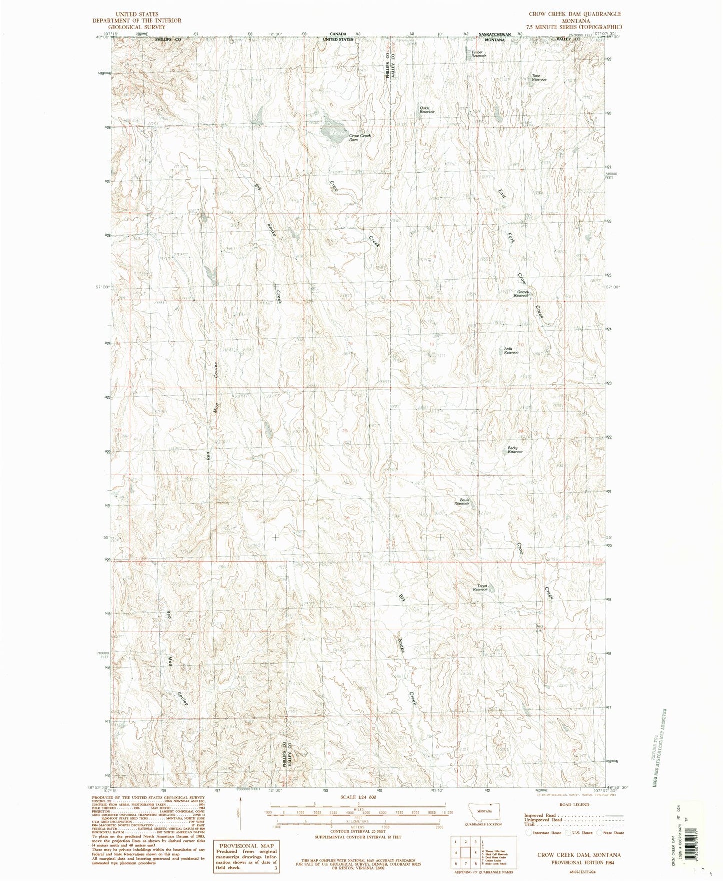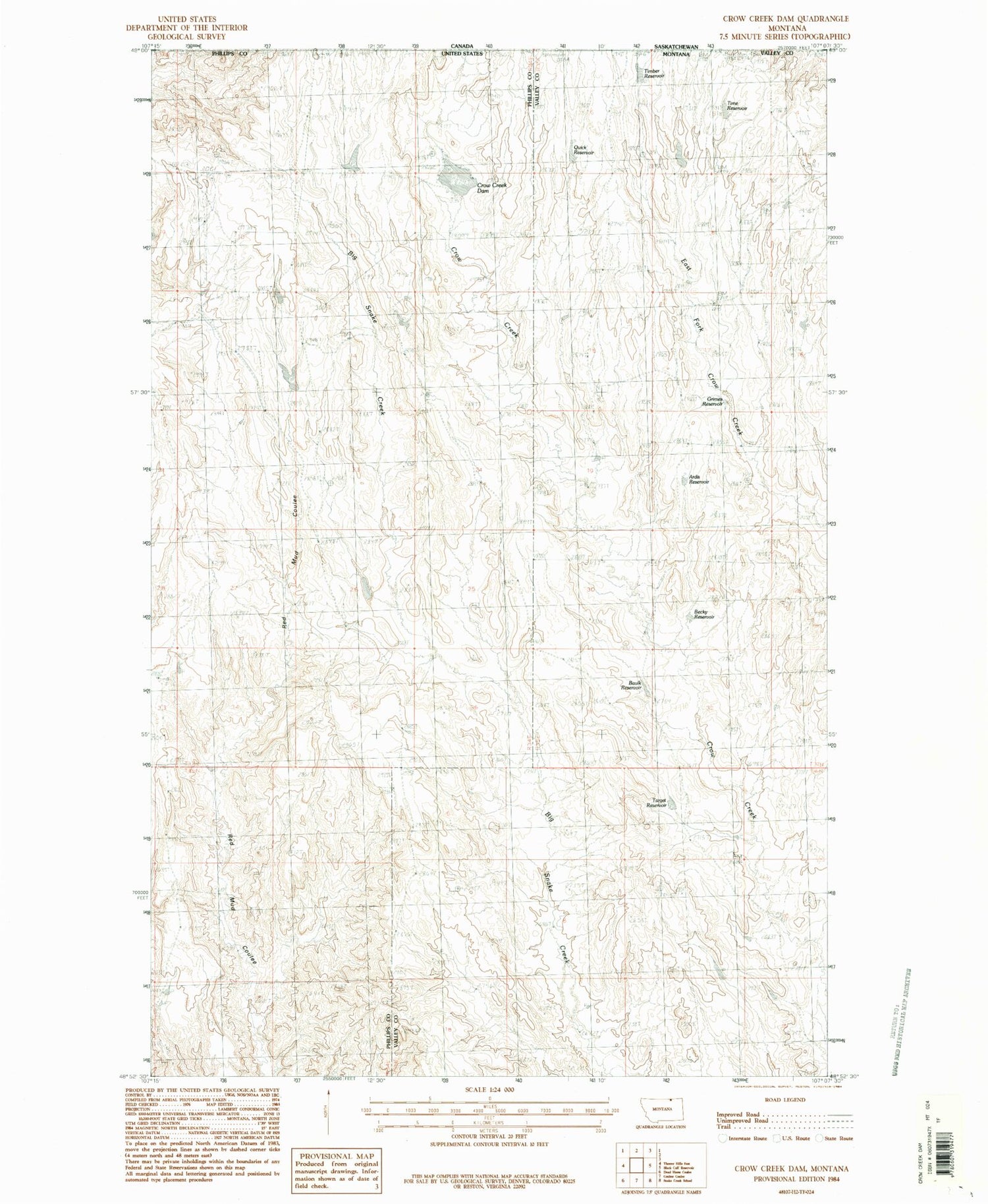
MyTopo
Classic USGS Crow Creek Dam Montana 7.5'x7.5' Topo Map
Regular price
$16.95
Regular price
Sale price
$16.95
Unit price
per
Couldn't load pickup availability
Historical USGS topographic quad map of Crow Creek Dam in the state of Montana. Map scale may vary for some years, but is generally around 1:24,000. Print size is approximately 24" x 27"
This quadrangle is in the following counties: Phillips, Valley.
The map contains contour lines, roads, rivers, towns, and lakes. Printed on high-quality waterproof paper with UV fade-resistant inks, and shipped rolled.
Contains the following named places: Ardis Reservoir, Barney Dam, Baulk Reservoir, Becky Reservoir, Chamberlain Dam, Crow Creek Dam, Crow Creek School, Grimes Reservoir, Meharry Post Office, Obach School, Quick Reservoir, Target Reservoir, Timber Reservoir, Time Reservoir