MyTopo
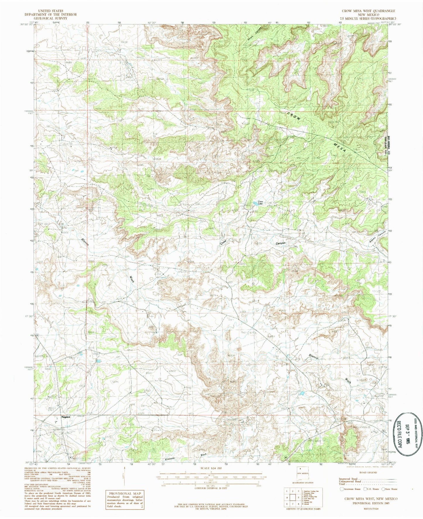
Classic USGS Crow Mesa West New Mexico 7.5'x7.5' Topo Map
Couldn't load pickup availability
Historical USGS topographic quad map of Crow Mesa West in the state of New Mexico. Map scale may vary for some years, but is generally around 1:24,000. Print size is approximately 24" x 27"
This quadrangle is in the following counties: Rio Arriba, San Juan.
The map contains contour lines, roads, rivers, towns, and lakes. Printed on high-quality waterproof paper with UV fade-resistant inks, and shipped rolled.
Contains the following named places: 1 English Water Well, 19T-342 Water Well, 19T-349 Water Well, 19T-510 Water Well, Adams Canyon, Bible Baptist Shepherd, Cricket Dam, Crow Canyon, Crow Lake, Crow Mesa, LaCopita Dam, Nageezi, Nageezi Dam, Nageezi Post Office, Romulo Martinez Trading Post Historic Site