MyTopo
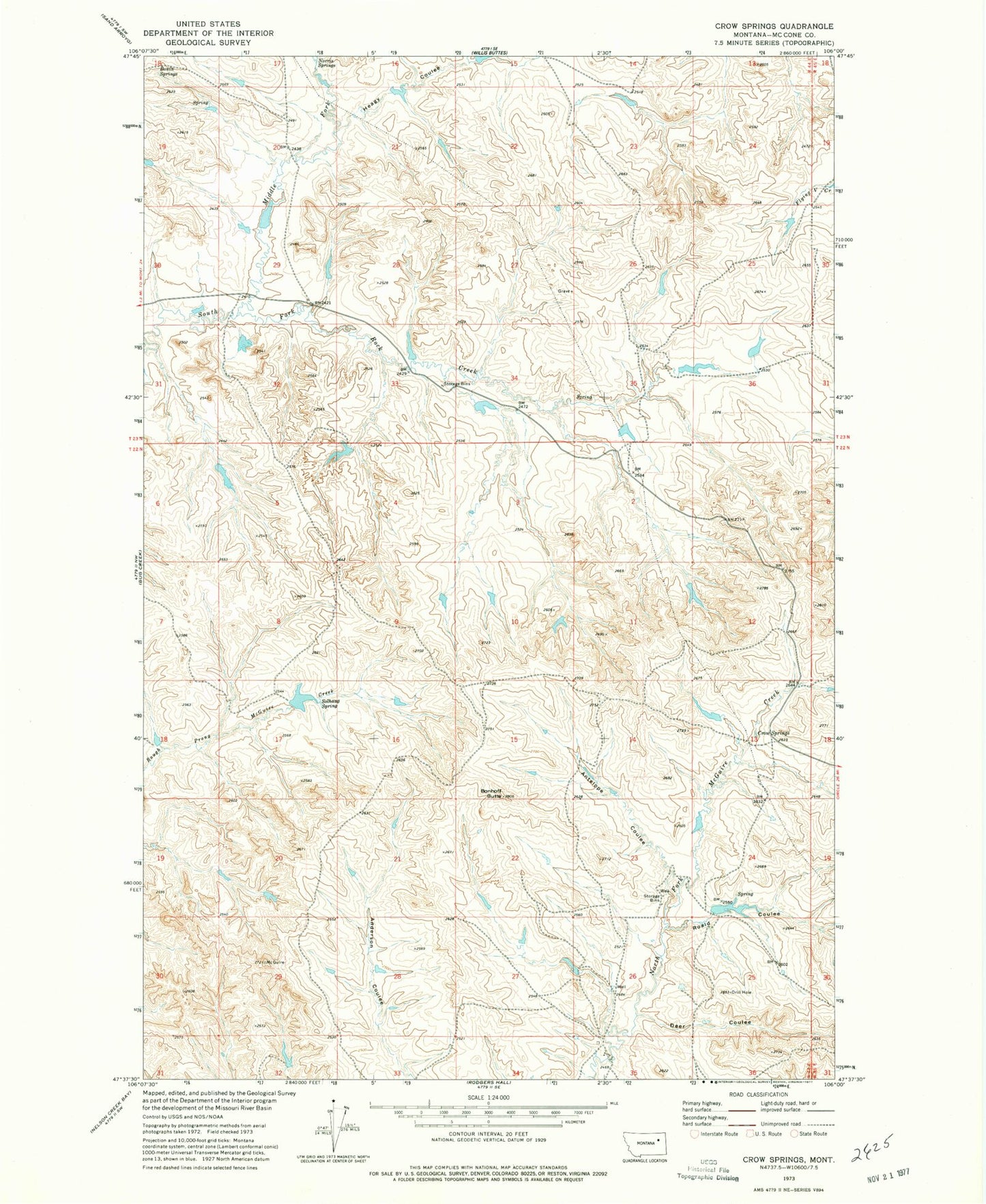
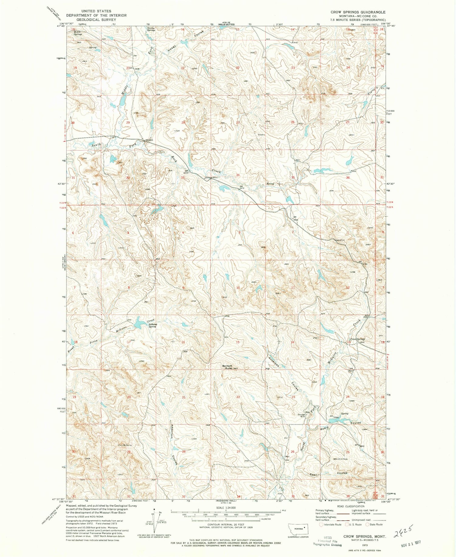
Classic USGS Crow Springs Montana 7.5'x7.5' Topo Map
Couldn't load pickup availability
Historical USGS topographic quad map of Crow Springs in the state of Montana. Map scale may vary for some years, but is generally around 1:24,000. Print size is approximately 24" x 27"
This quadrangle is in the following counties: McCone.
The map contains contour lines, roads, rivers, towns, and lakes. Printed on high-quality waterproof paper with UV fade-resistant inks, and shipped rolled.
Contains the following named places: 22N45E31BBDB01 Well, Antelope Coulee, Bobcat Reservoir Dam, Bonhoff Butte, Bonin Springs, Crow Number 1 Dam, Crow Number 2 Dam, Crow Springs, Deer Coulee, Heagy Coulee, Horse Trough Dam, L Pawlowski Number 3 Dam, Late Creek Reservoir Dam, Middle Fork South Fork Rock Creek, Moonlight Reservoir Dam, Norris Springs, Quam Post Office, Roald Coulee, Solhaug Spring, South Rock Creek Reservoir Dam, Towe Farms Number 4 Dam, W Pawlowski Reservoir Dam, Wayne Number 2 Dam