MyTopo
Classic USGS Crow Oregon 7.5'x7.5' Topo Map
Couldn't load pickup availability
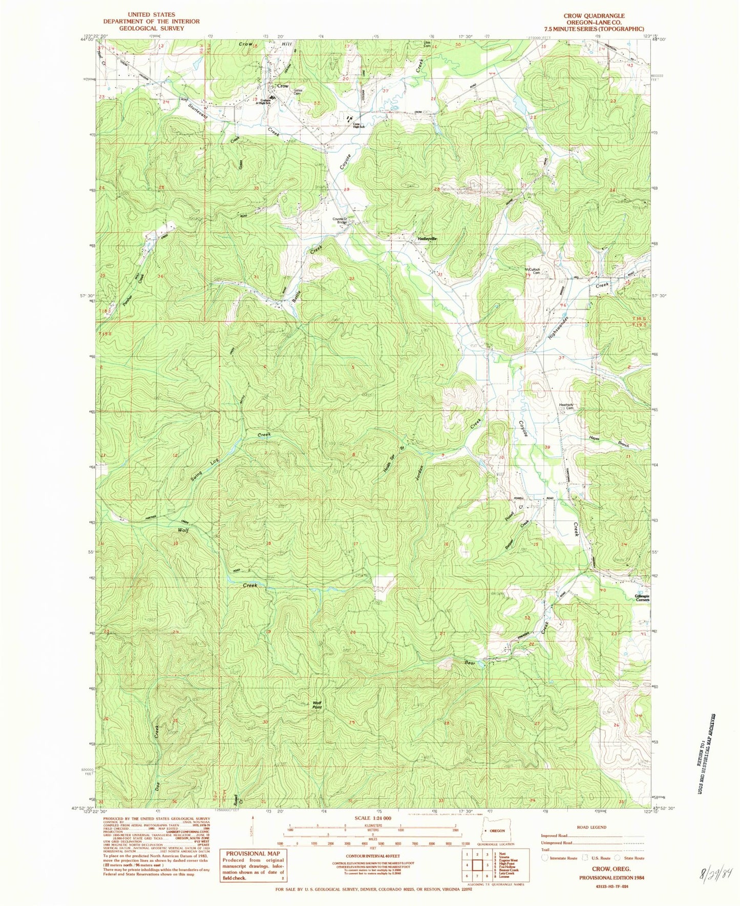
Historical USGS topographic quad map of Crow in the state of Oregon. Map scale may vary for some years, but is generally around 1:24,000. Print size is approximately 24" x 27"
This quadrangle is in the following counties: Lane.
The map contains contour lines, roads, rivers, towns, and lakes. Printed on high-quality waterproof paper with UV fade-resistant inks, and shipped rolled.
Contains the following named places: Applegate Elementary School, Battle Creek, Bear Creek, Beaver Creek, Chicken Whistle Creek, Coyote Creek Bridge, Crow, Crow Hill, Crow Middle - High School, Crow Post Office, Ford Farms Dam, Ford Farms Reservoir, Gates Cemetery, Gates Creek, Gillespie Corners, Hadleyville, Hadleyville Post Office, Hadleyville School, Hayes Branch, Heatherly Cemetery, Jenkins Cemetery, Jordan Creek, Lane County Fire District 1 Station 111, Liles Cemetery, Lone Cedar School, McCulloch Cemetery, Mirth Post Office, Nighswander Creek, Powell Branch, Shaw Burn, Smith Reservoir, Sturtevant Creek, Swing Log Creek, West Fork Battle Creek, Wolf Point


