MyTopo
Classic USGS Crow Texas 7.5'x7.5' Topo Map
Couldn't load pickup availability
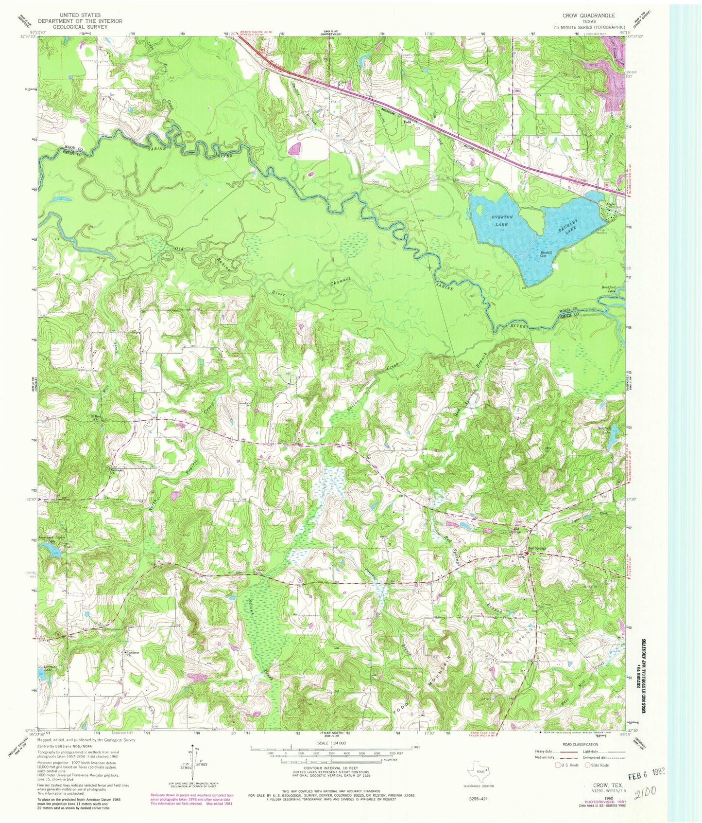
Historical USGS topographic quad map of Crow in the state of Texas. Typical map scale is 1:24,000, but may vary for certain years, if available. Print size: 24" x 27"
This quadrangle is in the following counties: Smith, Wood.
The map contains contour lines, roads, rivers, towns, and lakes. Printed on high-quality waterproof paper with UV fade-resistant inks, and shipped rolled.
Contains the following named places: American Legion Lake, Bergfeld Lake, Bethesda Church, Bluebill Cove, Brumley Lake, Damascus Church, Jim Ned Creek, Jones Branch, Little Sandy Creek, Marshall Cemetery, Mill Creek, North Prairie Creek, Old Sabine River Channel, Overton Lake, Parker Branch, Red Springs, Red Springs Branch, Red Springs Oil Field, Saint Mary Church, Saline Creek, Todd Mountain, White Cemetery, Lake Fork Creek, Angler, Crow, Fada, Red Springs, Mother Frances Hospital Heliport, Brown Lake Number 1 Dam, American Legion Club Lake Dam, Lorrain Lake Club Dam, Wood County Dam Number 3, Little Sandy Dam, Little Sandy Club Lake, Camp Ford Springs, Fifth Ward Branch Library, Flores Branch Library, Dixon Branch Library, Old Sabine Bottom Wildlife Management Area, Little Sandy National Wildlife Refuge, Red Springs Fire Department, Red Springs Cemetery


