MyTopo
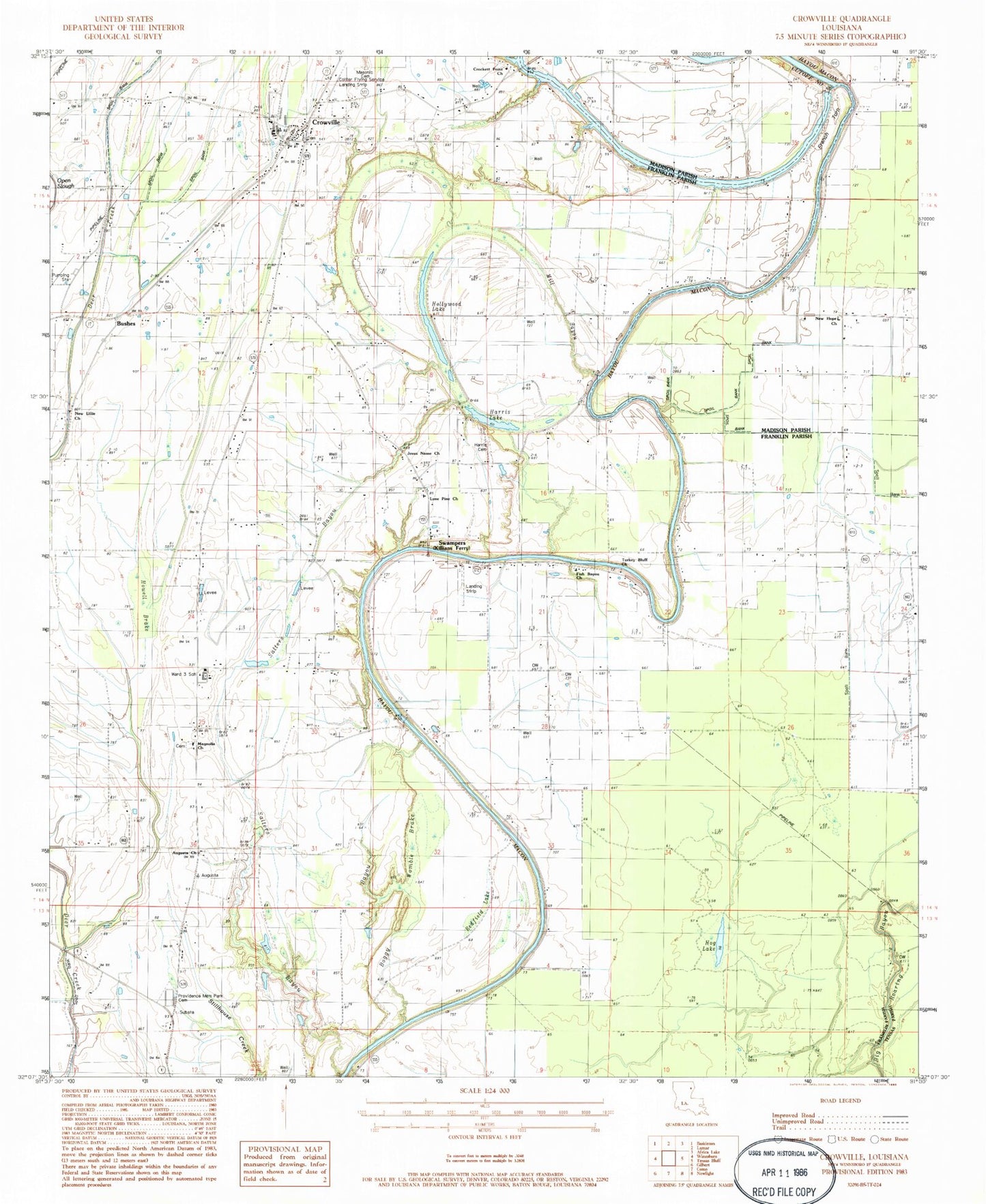
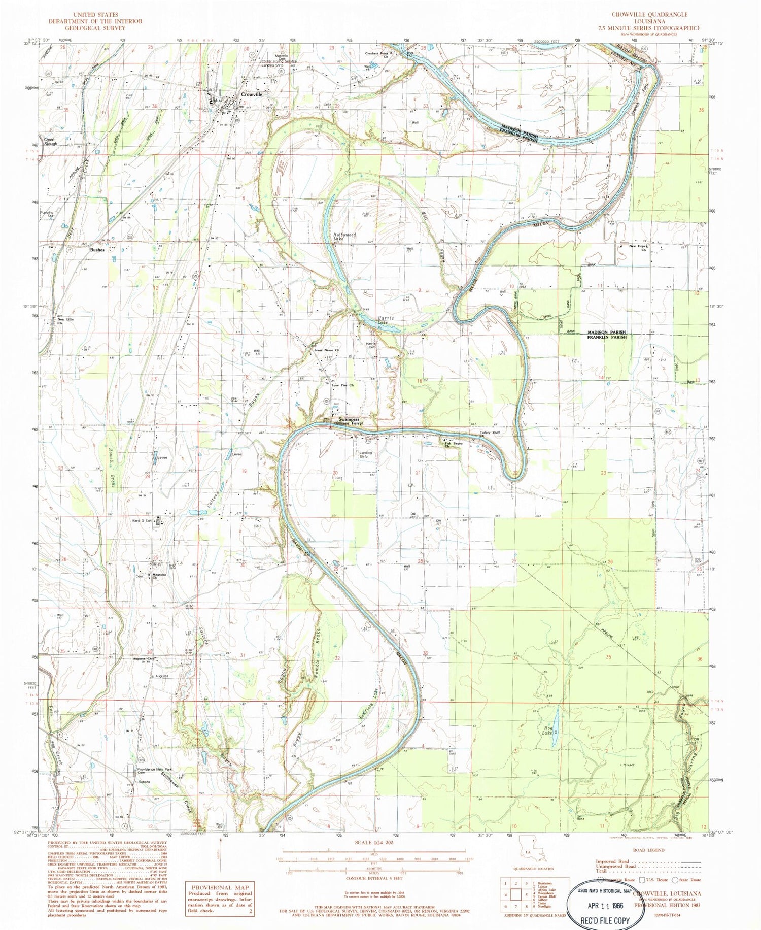
Classic USGS Crowville Louisiana 7.5'x7.5' Topo Map
Couldn't load pickup availability
Historical USGS topographic quad map of Crowville in the state of Louisiana. Map scale may vary for some years, but is generally around 1:24,000. Print size is approximately 24" x 27"
This quadrangle is in the following counties: Franklin, Madison, Tensas.
The map contains contour lines, roads, rivers, towns, and lakes. Printed on high-quality waterproof paper with UV fade-resistant inks, and shipped rolled.
Contains the following named places: Augusta Baptist Church, Bayou Macon Cutoff Number 2, Boggy Bayou, Boggy Womble Brake, Brannin Ferry, Bushes, Chelly Landing, Collier Flying Service Landing Strip, Crocketts Point Baptist Church, Crowville, Crowville Cemetery, Crowville Methodist Church, Crowville School, Crowville Volunteer Fire Department, Deep Bayou, Egypt Ferry, Egypt Ferry Gas Field, First Baptist Church of Crowville, Fish Bayou Church, French Turn, French Turn Church, Harris Cemetery, Harris Lake, Hog Lake, Hollywood Lake, Howell Brake, Hurricane Bayou, Jesus Name Christian School, Jesus Name Church, Kollen Landing, Liberty Church, Lone Pine Baptist Church, Magnolia Cemetery, Magnolia Church, Mill Bayou, New Hope Church, New Lillie Church, Providence Memorial Park Cemetery, Redfield Lake, Saint Luke Church, Sallers Bayou, Swampers, Turkey Bluff Church, Ward 3 High School, Ward Three


