MyTopo
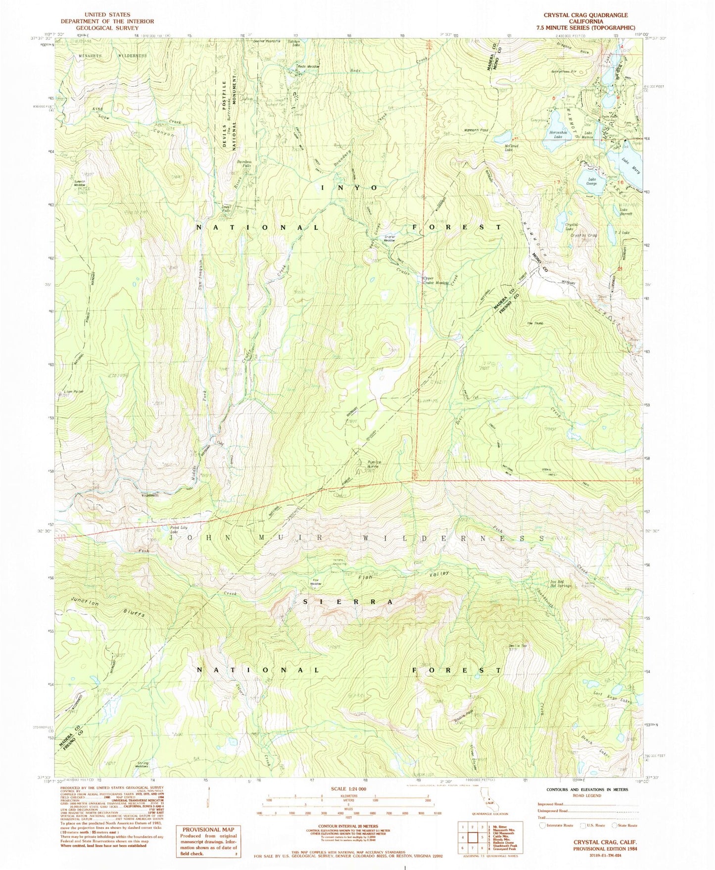
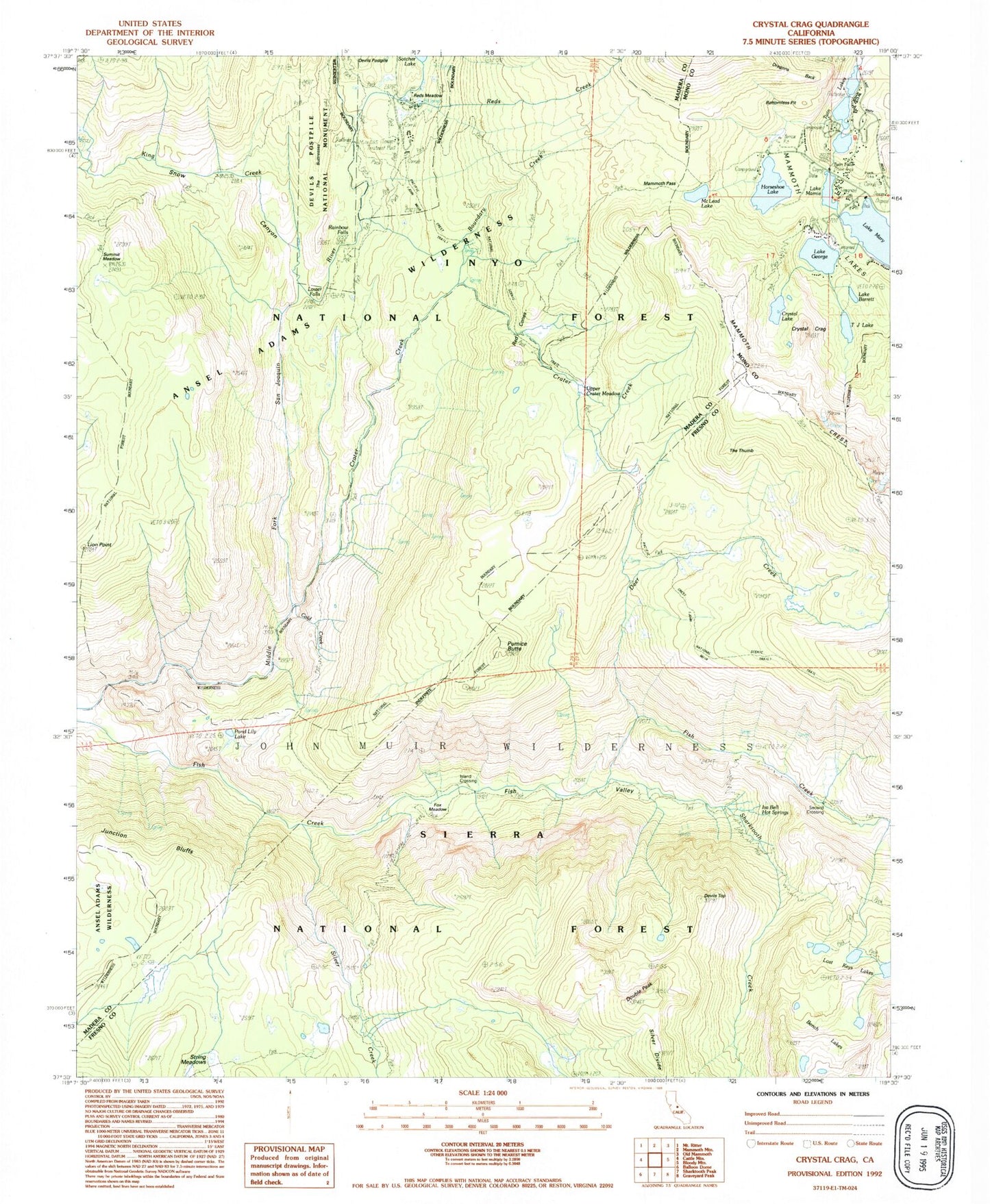
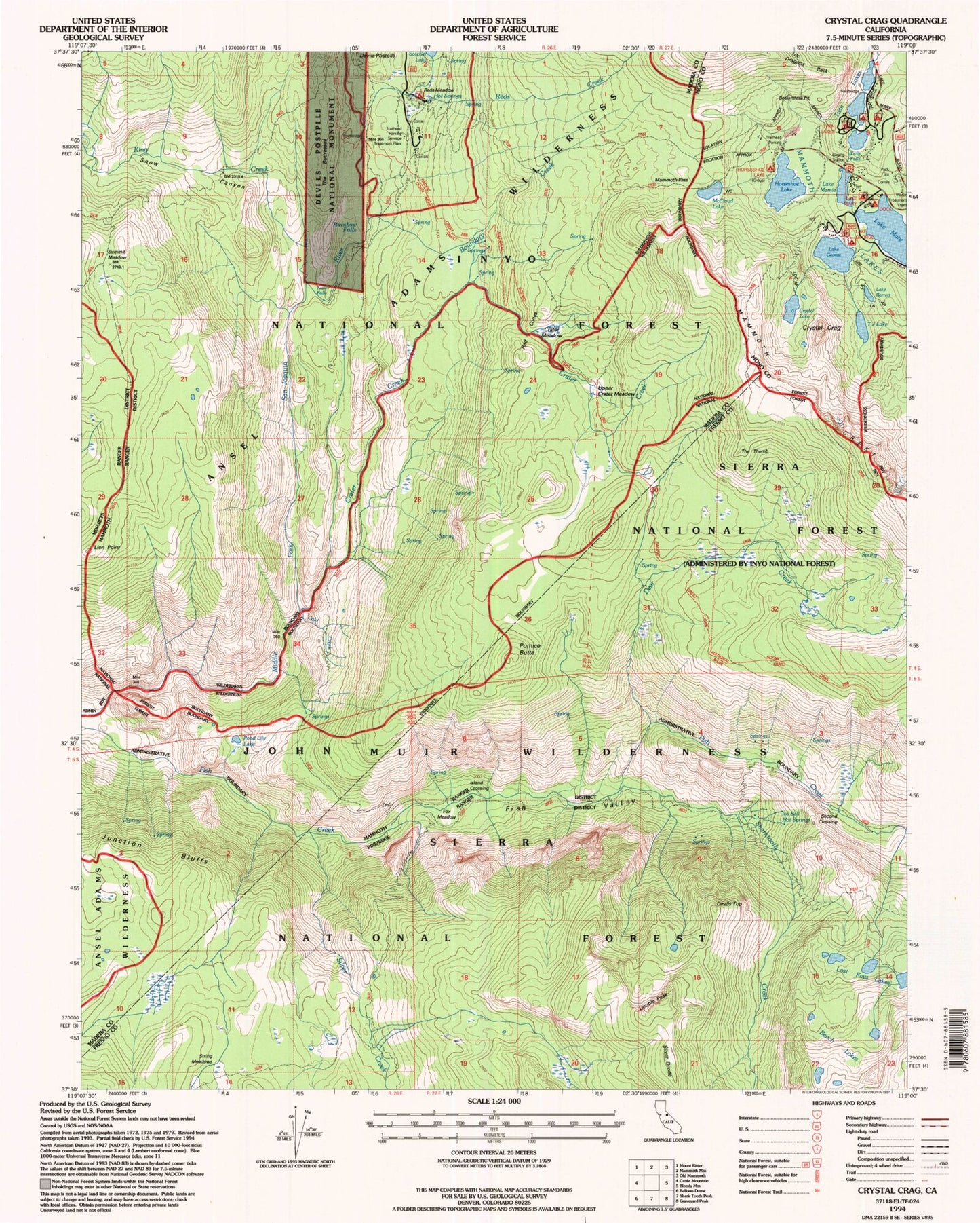
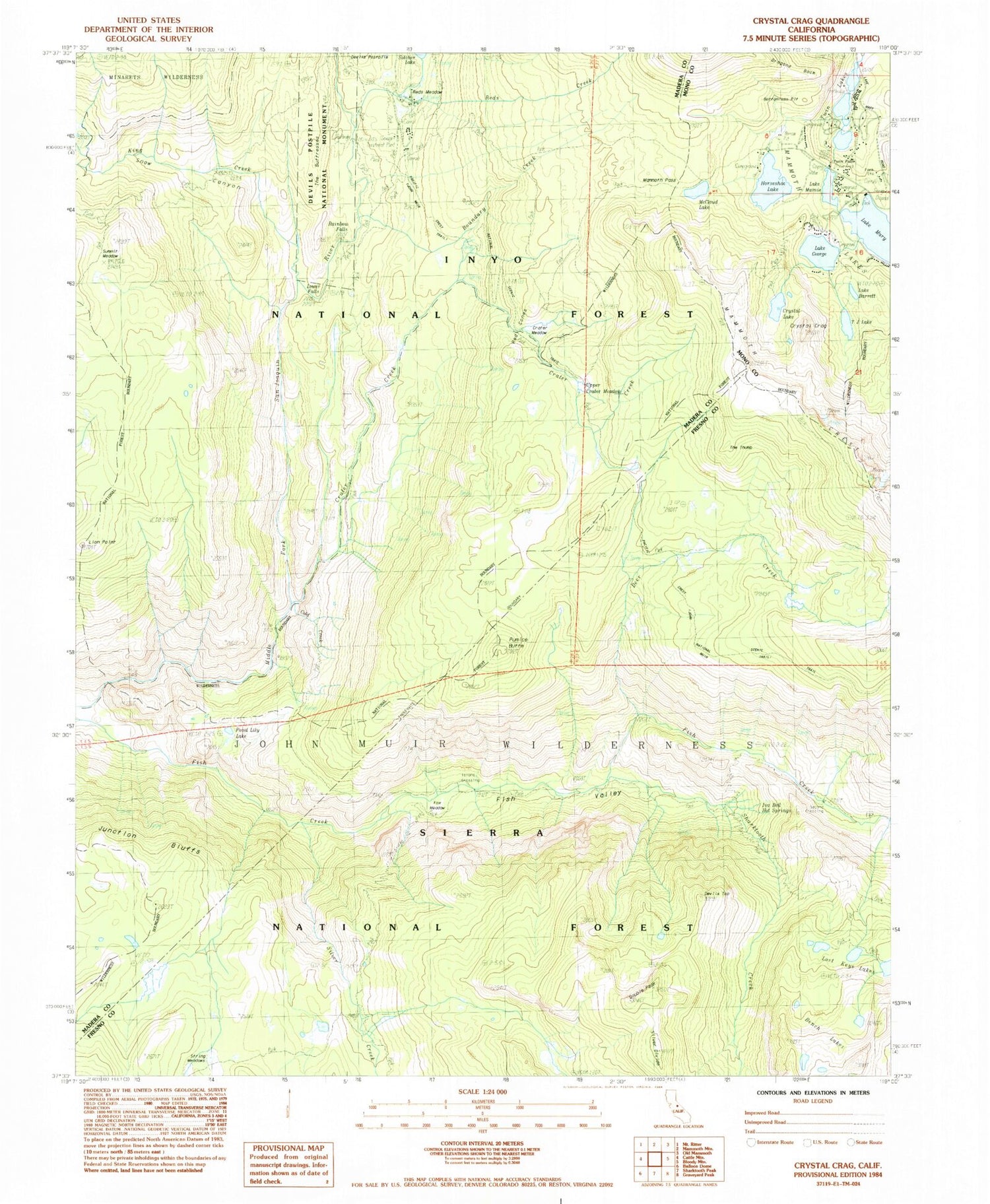
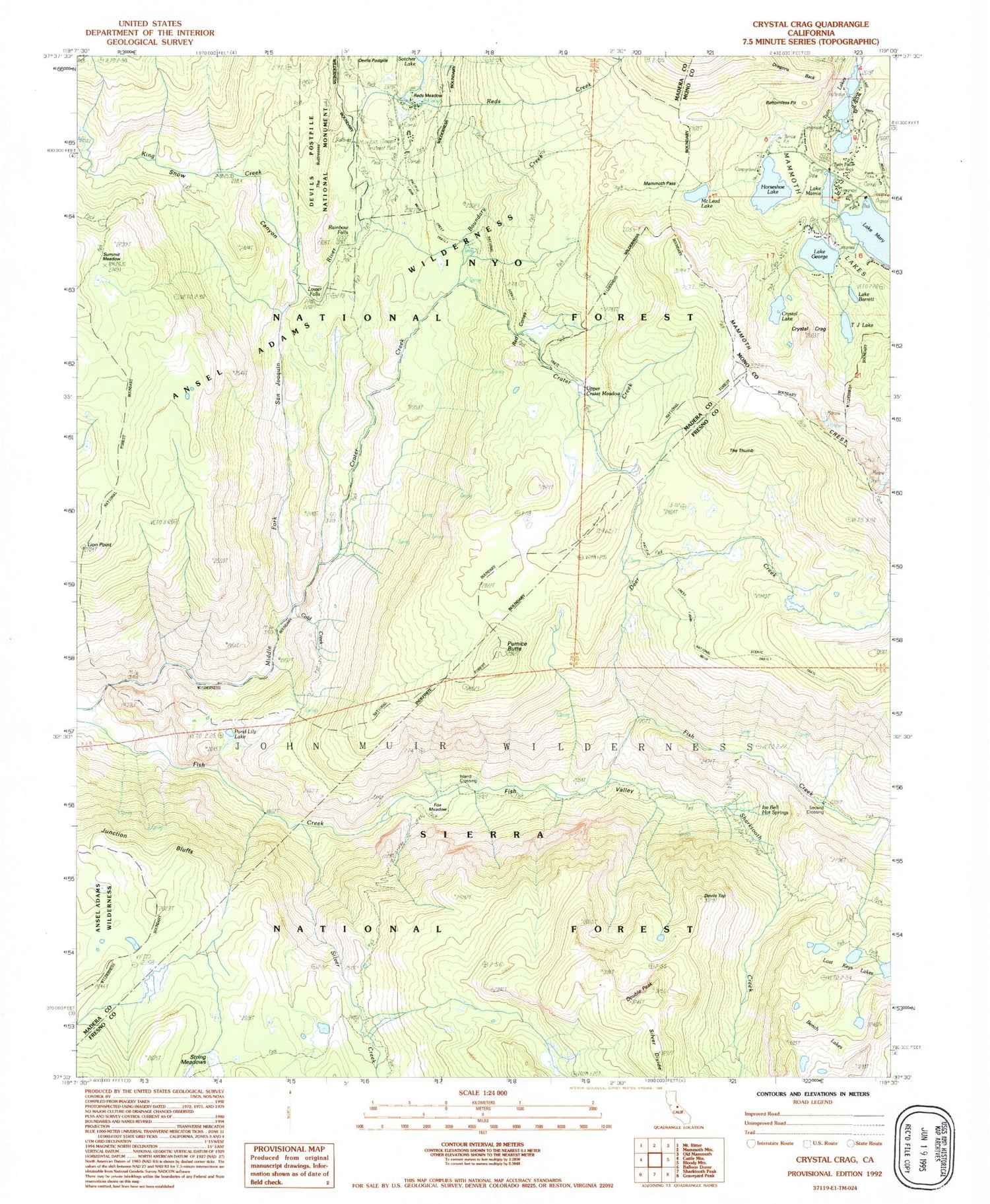
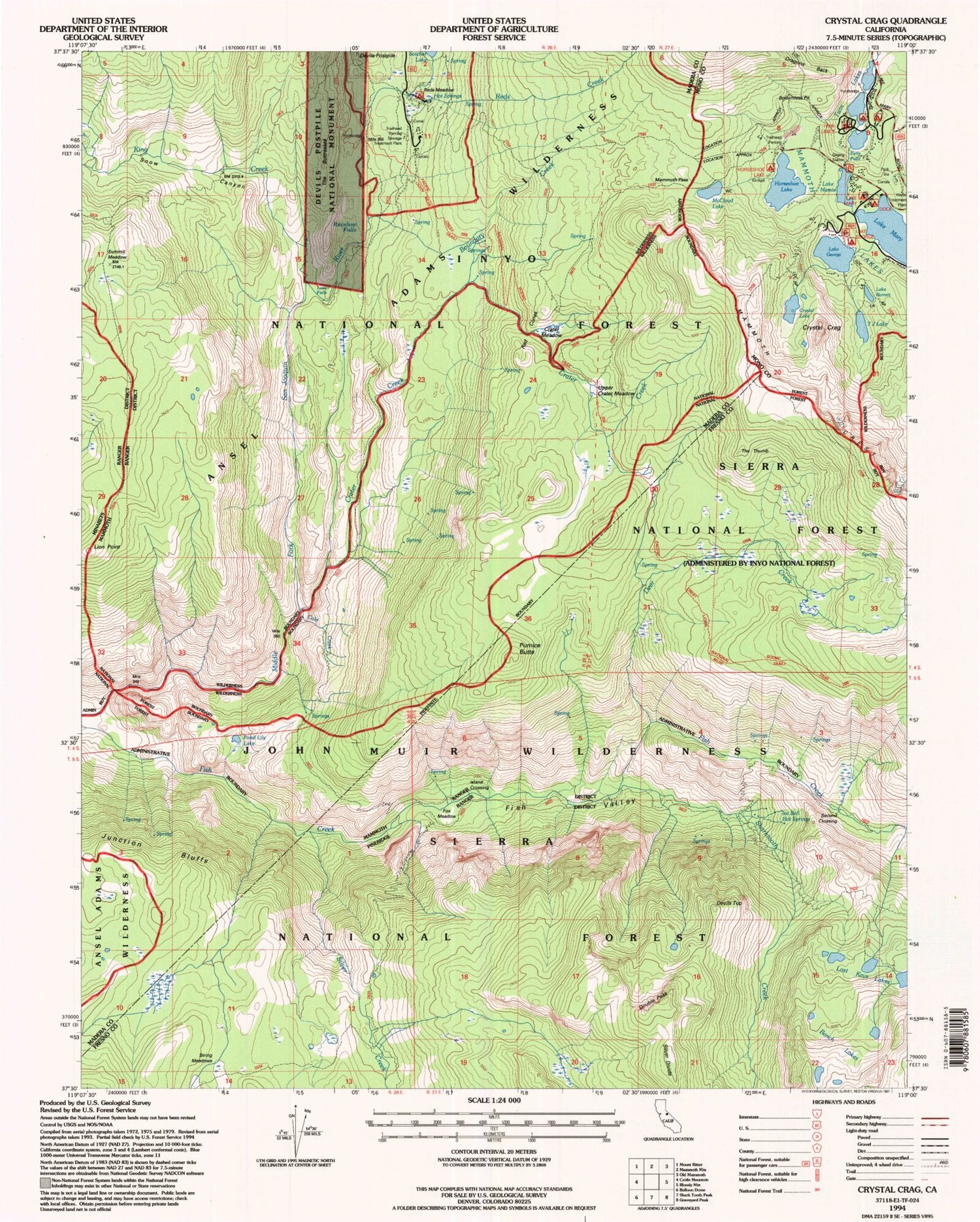
USGS Classic Crystal Crag California 7.5'x7.5' Topo Map
Couldn't load pickup availability
Historical USGS topographic quad map of Crystal Crag in the state of California. Scale: 1:24000. Print size: 24" x 27"
This quadrangle is in the following counties: Fresno, Madera, Mono.
The map contains contour lines, roads, rivers, towns, lakes, and grids including latitude / longitude and UTM / MGRS. Printed on high-quality waterproof paper with UV fade-resistant inks.
Contains the following named places: Bench Lakes, Lake Mary, Lake Barrett, Boundary Creek, Cold Creek, Crater Creek, Crystal Crag, Crystal Lake, Deer Creek, Devils Postpile, Devils Top, Double Peak, Iva Bell Hot Springs, Fish Valley, Lake George, Horseshoe Lake, Junction Bluffs, King Creek, Lion Point, Lost Keys Lakes, Lower Rainbow Falls, Lake Mamie, Mammoth Lakes, Mammoth Pass, Lake Mary, McCloud Lake, Pond Lily Lake, Pumice Butte, Rainbow Falls, Red Cones, Reds Creek, Reds Meadow Hot Springs, Reds Meadow Ranger Station, Sharktooth Creek, Silver Creek, Devils Postpile National Monument, Snow Canyon, Summit Meadow, T J Lake, The Buttresses, The Thumb, Twin Lakes, McLeod Lake, Reds Meadow Campground, Island Crossing, Second Crossing, Fox Meadow, Reds Meadow, Bottomless Pit, Twin Falls, Panorama Dome, Tamarack Cross Country Ski Center, Lake Mary Post Office (historical), Twin Falls Picnic Site, Twin Lakes Campground, Twin Lakes Picnic Site, Twin Lakes Vista, Horseshoe Lake Group Campground, Horseshoe Lake Picnic Site, Lake George Campground, Lake George Picnic Site, Lake Mary Campground, Mammoth Mountain-Bottomless Pit Trailhead, Mammoth Pass Trailhead, Panorama Dome Trailhead, Rainbow Falls Trailhead, Bottomless Pit
