MyTopo
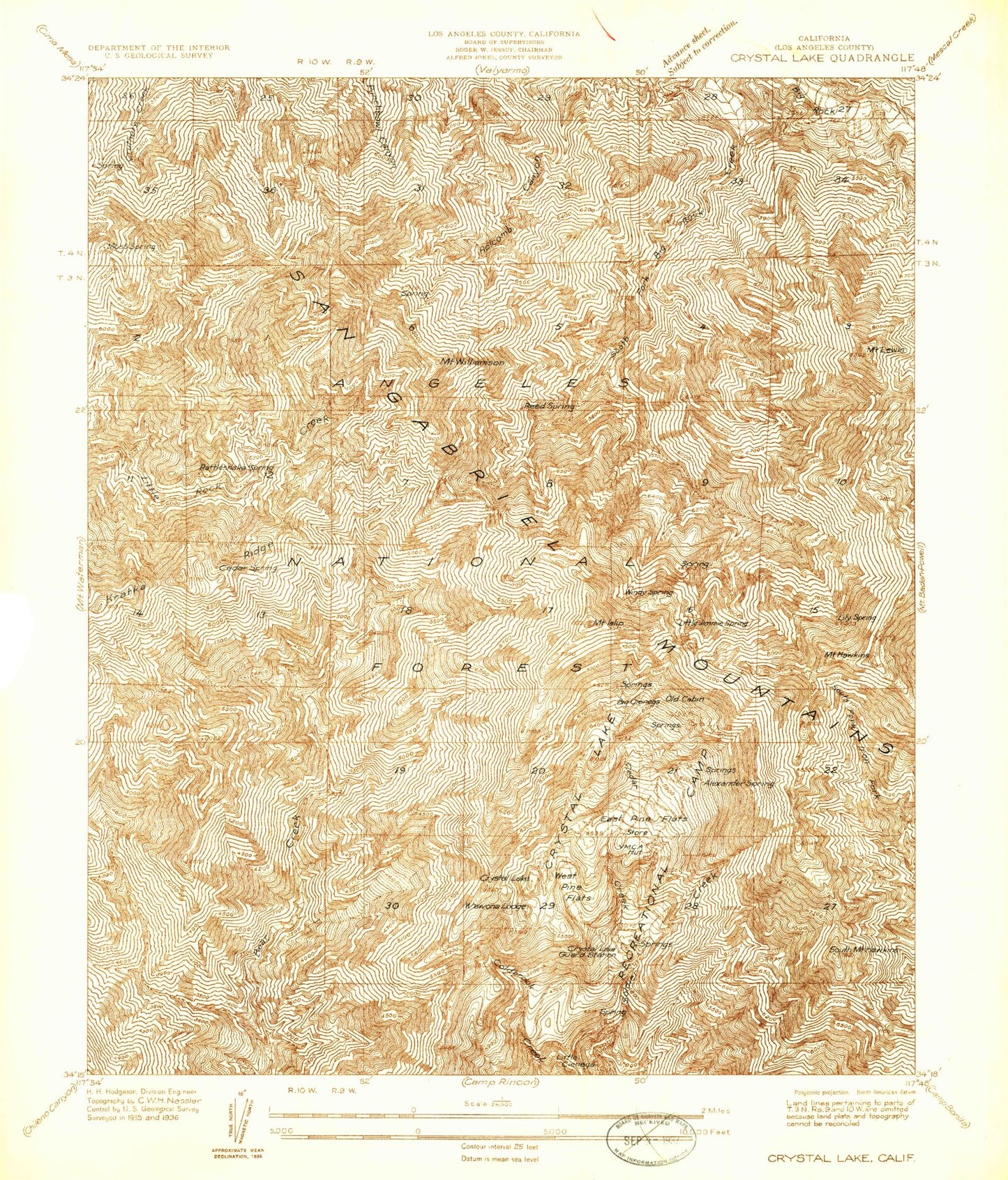
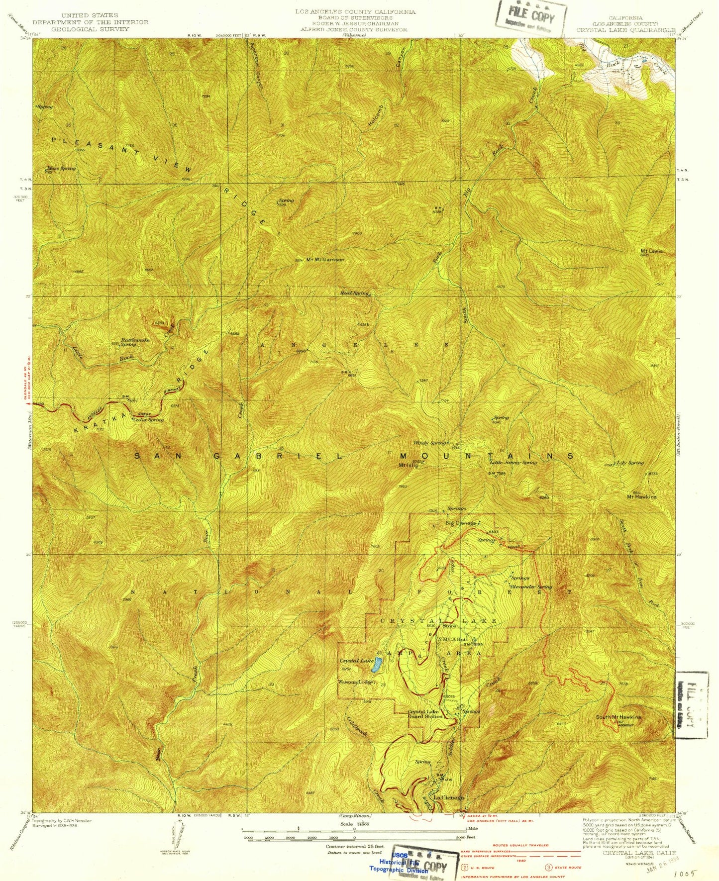
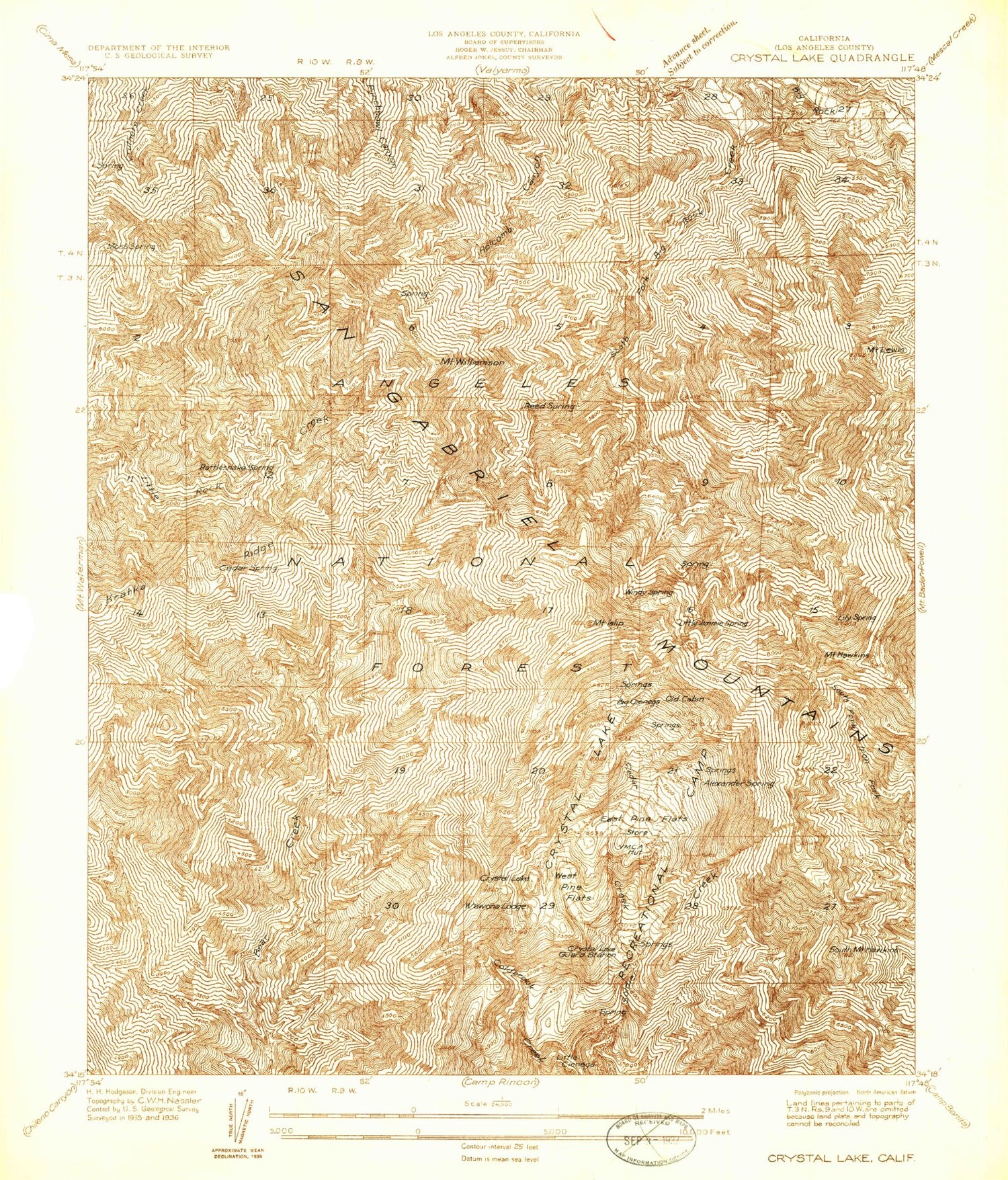
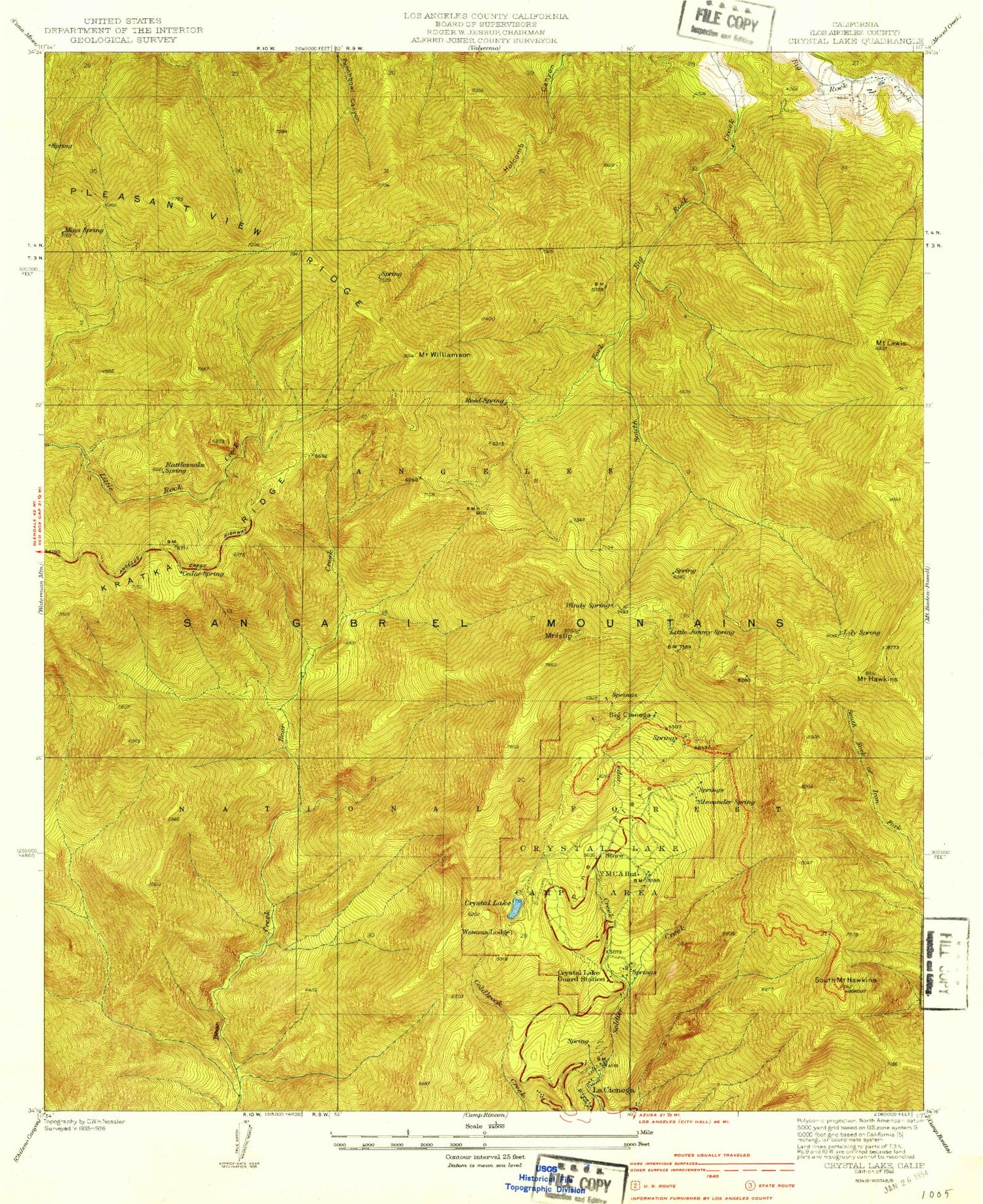
USGS Classic Crystal Lake California 7.5'x7.5' Topo Map
Couldn't load pickup availability
Historical USGS topographic quad map of Crystal Lake in the state of California. Scale: 1:24000. Print size: 24" x 27"
This quadrangle is in the following counties: Los Angeles.
The map contains contour lines, roads, rivers, towns, lakes, and grids including latitude / longitude and UTM / MGRS. Printed on high-quality waterproof paper with UV fade-resistant inks.
Contains the following named places: Alexander Spring, Big Cienega, Cedar Creek, Conservation Camp Thirtyseven, Copter Ridge, Cortelyou Spring, Crystal Lake, Crystal Lake Guard Station, Dawson Saddle, Mount Hawkins, South Mount Hawkins, Islip Saddle, Mount Islip, Kratka Ridge, La Cienega Spring, Mount Lewis, Lily Spring, Little Jimmy Spring, Pine Hollow Picnic Area, Pinyon Trail, Rattlesnake Spring, Rattlesnake Trail, Reed Spring, Ridge Crest Picnic Ground, Snow Spring, Snowslide Canyon, South Fork Campground, Vista Picnic Ground, West Pine Flat, Mount Williamson, Windy Gap, Windy Spring, Pine Flats, Burkhart Saddle, Burkhart Trail, Pleasant View Ridge, White Fir Spring, Islip Trailhead, South Mount Hawkins Lookout, Yerba Santa Amphitheater, Kratka Ridge Ski Area, Eagles Roost Picnic Ground, Crystal Lake Recreation Area, Deer Flat Campground, Little Jimmy Campground, Falling Springs (historical), Cedar Springs, Pallett Mountain, Paradise Springs, Cedar Spring, Moss Spring, Wawona Lodge (historical), Dawson Saddle Trail, Jarva Memorial Vista, Golden Cup Oaks Plantation


