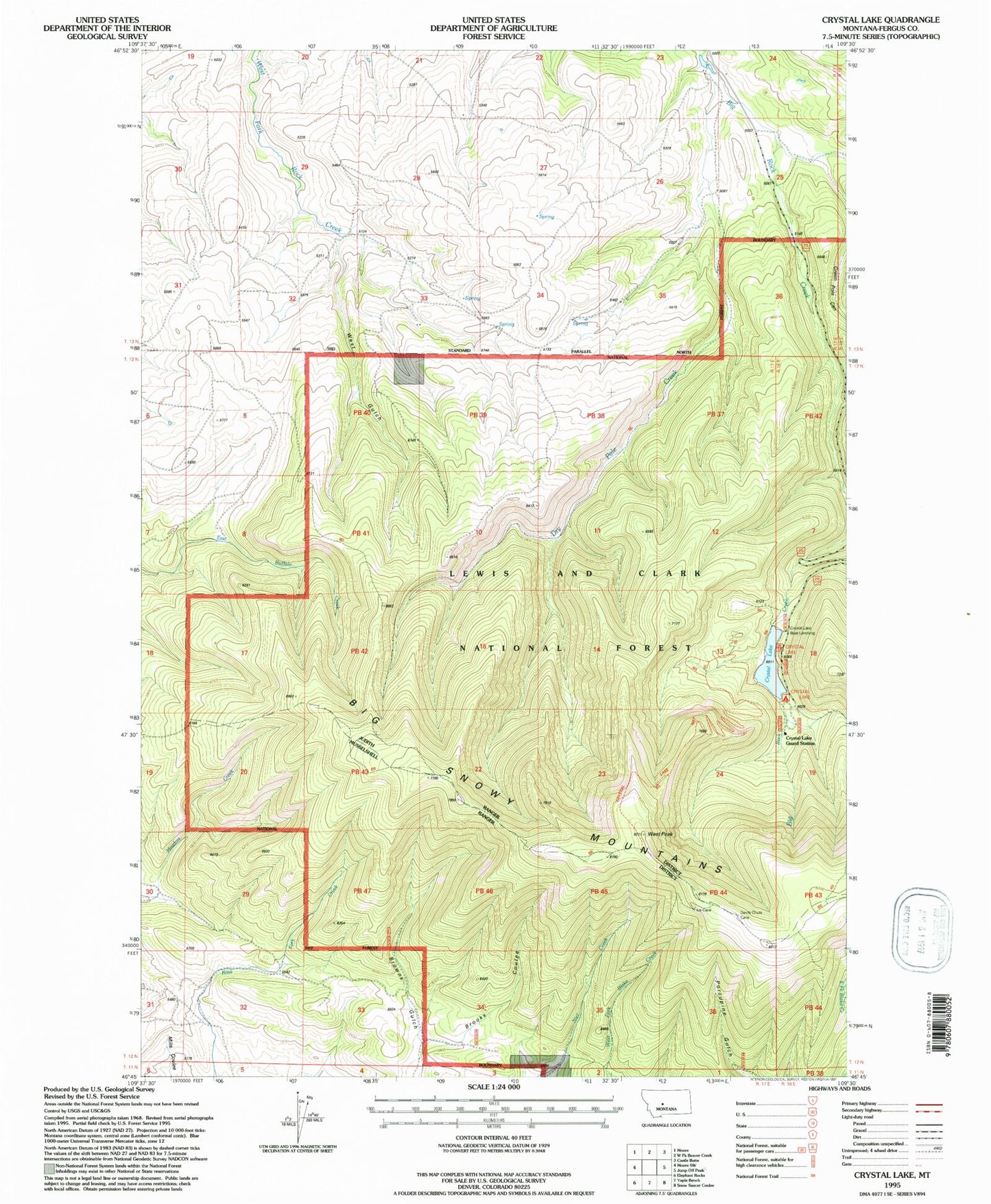
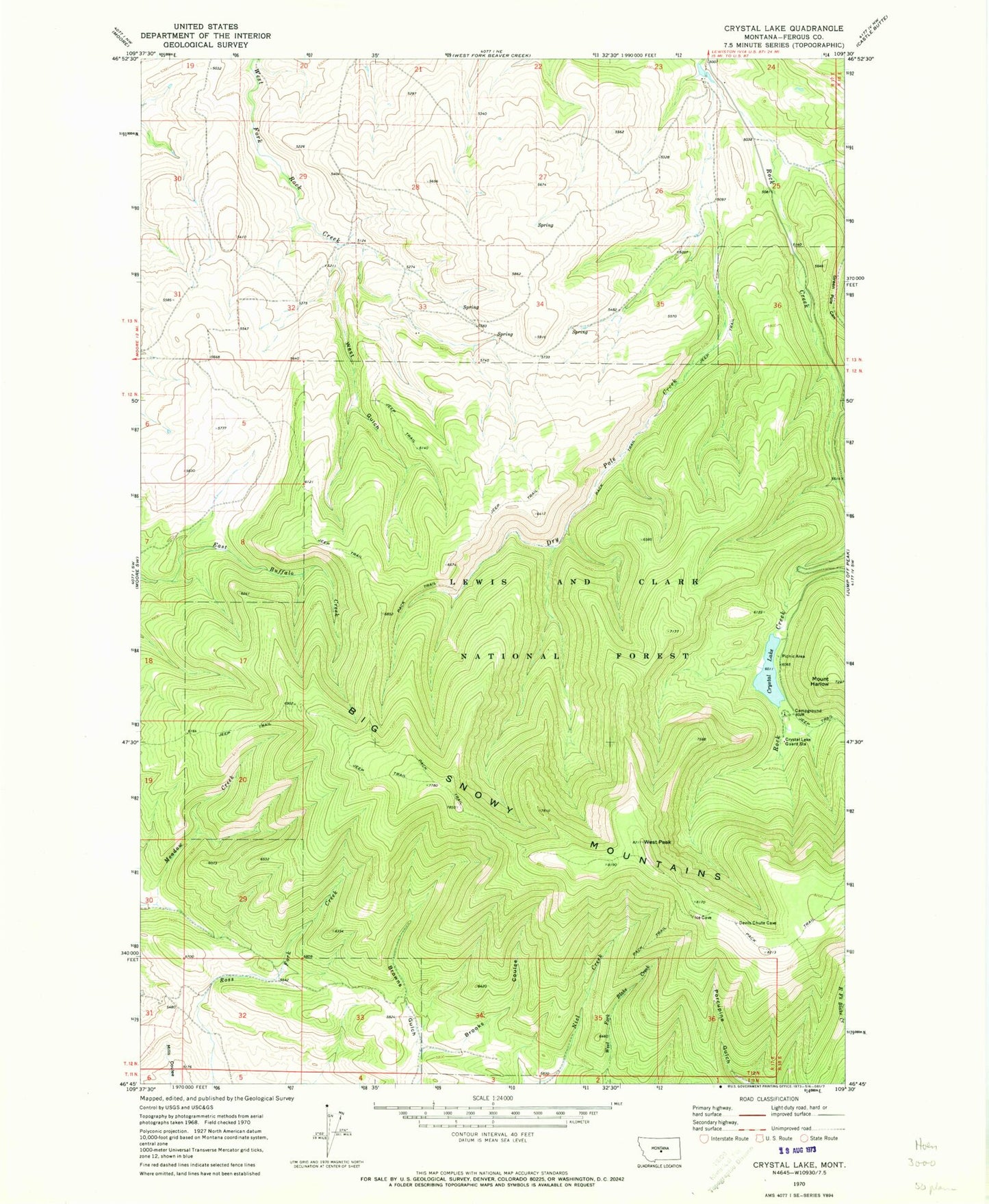
MyTopo
Classic USGS Crystal Lake Montana 7.5'x7.5' Topo Map
Couldn't load pickup availability
Historical USGS topographic quad map of Crystal Lake in the state of Montana. Typical map scale is 1:24,000, but may vary for certain years, if available. Print size: 24" x 27"
This quadrangle is in the following counties: Fergus.
The map contains contour lines, roads, rivers, towns, and lakes. Printed on high-quality waterproof paper with UV fade-resistant inks, and shipped rolled.
Contains the following named places: Brooks Coulee, Browns Gulch, Crystal Lake, Crystal Lake Guard Station, Dry Pole Creek, Green Pole Canyon, West Gulch, West Peak, Crystal Lake National Recreation Trail, Crystal Lake Campground, Crystal Lake Boat Launching, Crystal Lake Picnic Area, Grand View Recreation Site, Hyde Creek School (historical), Mountain View School (historical)