MyTopo
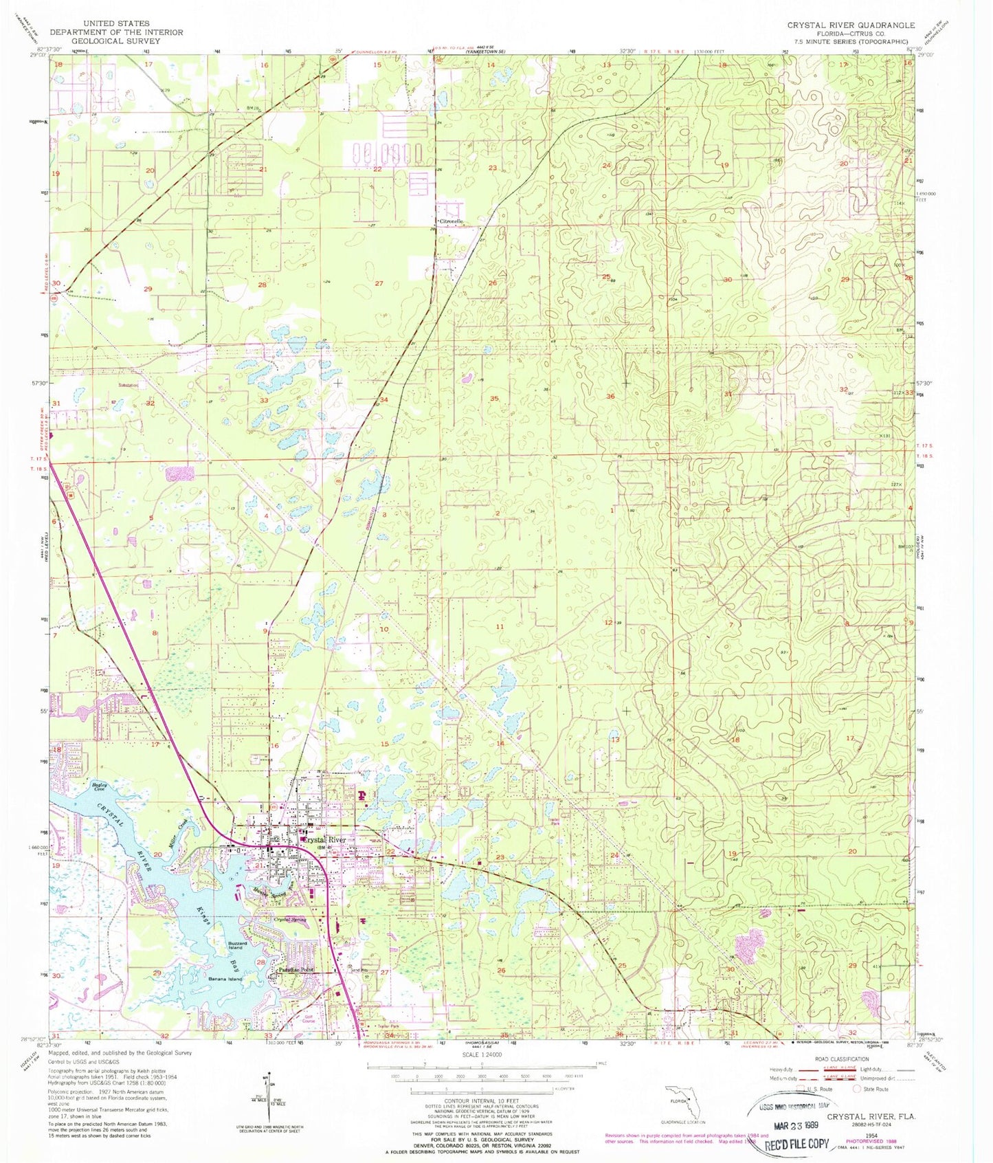
Classic USGS Crystal River Florida 7.5'x7.5' Topo Map
Couldn't load pickup availability
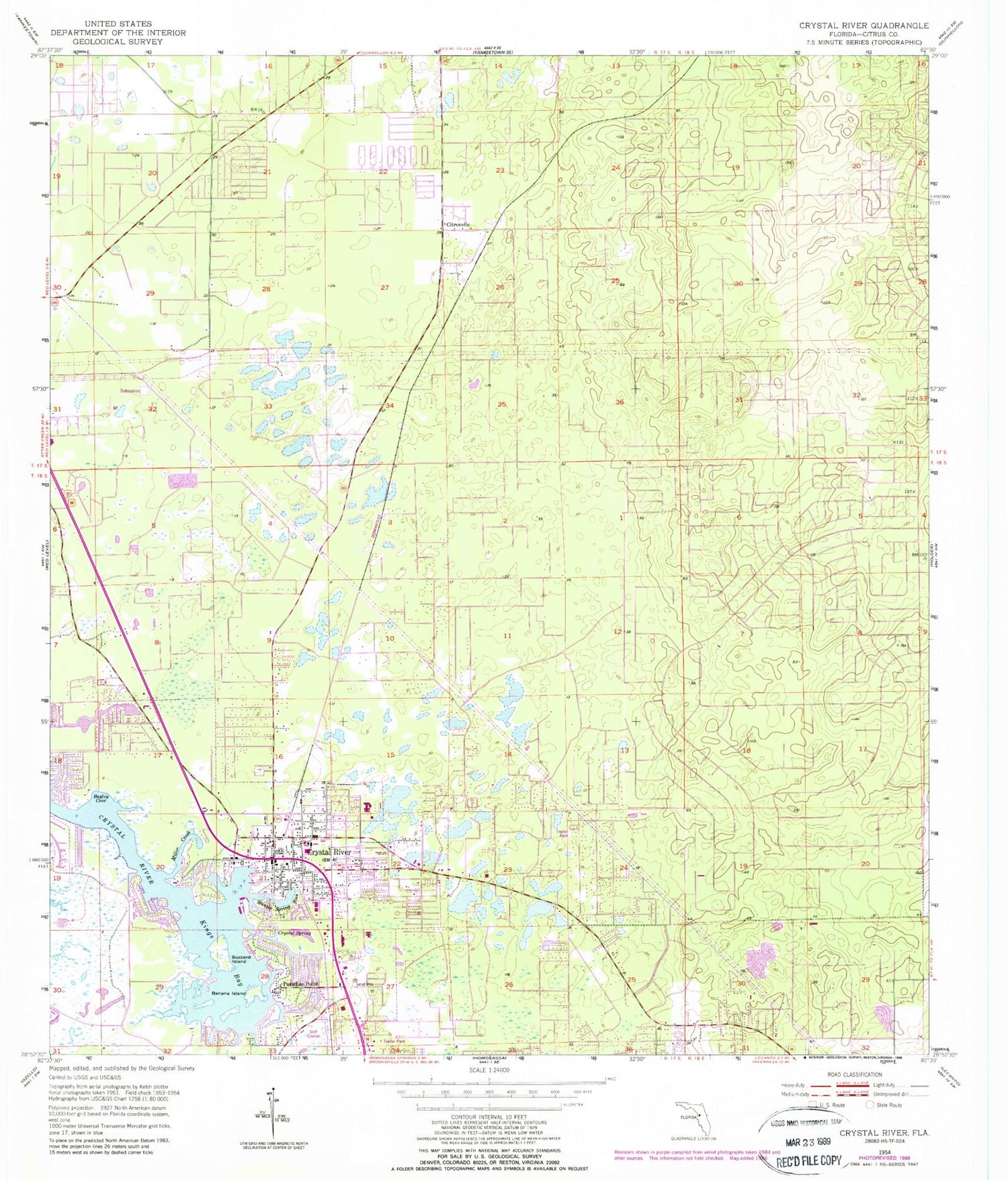
Historical USGS topographic quad map of Crystal River in the state of Florida. Map scale may vary for some years, but is generally around 1:24,000. Print size is approximately 24" x 27"
This quadrangle is in the following counties: Citrus.
The map contains contour lines, roads, rivers, towns, and lakes. Printed on high-quality waterproof paper with UV fade-resistant inks, and shipped rolled.
Contains the following named places: Advent Hope Church, Bagley Cove, Bailey Temple Church of God in Christ, Banana Island, Bethel American Methodist Episcopal Church, Bible Baptist Church, Buzzard Island, Calvary Baptist Church of Crystal River, Church of Christ, Citronelle, Citronelle Baptist Church, Citronelle Cemetery, Citronelle Park, Citrus County Health Department, Citrus County LIbrary - Coastal Region, Citrus County Sheriff's Office - Crystal River Substation, City of Crystal River, Crystal Center, Crystal River, Crystal River Cemetery, Crystal River Christian Academy, Crystal River City Hall, Crystal River Fire Department Station 2, Crystal River Four Square Gospel Church, Crystal River Health and Rehabilitation Center, Crystal River High School, Crystal River Mall, Crystal River Middle School, Crystal River National Wildlife Refuge, Crystal River Post Office, Crystal River Primary School, Crystal River Tower, Crystal River United Methodist Church, Crystal River Volunteer Fire Department, Crystal River Water Tower-House # 1, Crystal Spring, First Assembly of God Church, First Baptist Church of Crystal River, First Presbyterian Church in Crystal River, Gulf to Lake Church, Hunter Spring Run, Kings Bay, Kings Bay Plaza, Little Springs Park, Magnolia Creek, Marine Science Station, Miller Creek, New Life Christian Fellowship, Paradise Point, Red Level Baptist Church, Red Level Christian Academy, Seven Rivers Regional Medical Center, West Citrus Church of Christ, West Coast Christian Center, WXCV-FM (Homosassa Springs)


