MyTopo
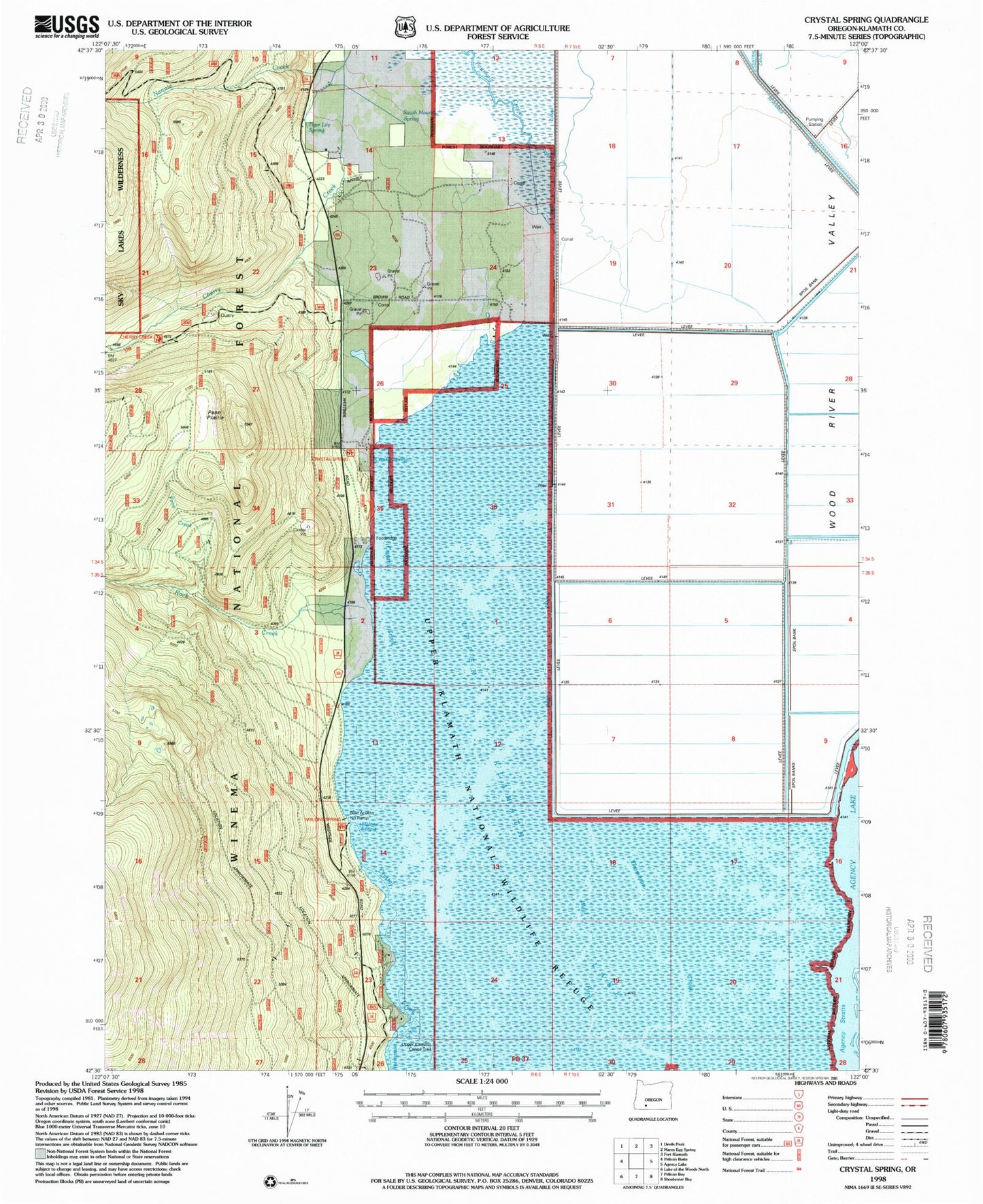
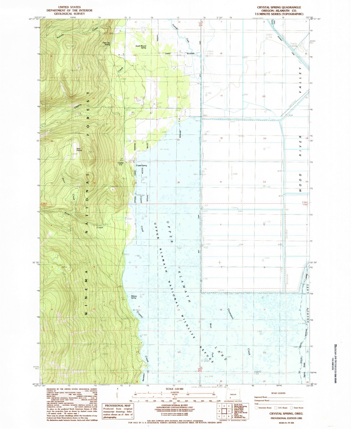
Classic USGS Crystal Spring Oregon 7.5'x7.5' Topo Map
Couldn't load pickup availability
Historical USGS topographic quad map of Crystal Spring in the state of Oregon. Map scale may vary for some years, but is generally around 1:24,000. Print size is approximately 24" x 27"
This quadrangle is in the following counties: Klamath.
The map contains contour lines, roads, rivers, towns, and lakes. Printed on high-quality waterproof paper with UV fade-resistant inks, and shipped rolled.
Contains the following named places: Agency Straits, Crystal, Crystal Creek County Park, Crystal Post Office, Crystal Spring, Crystal Spring Trailhead, Crystal Springs Recreation Site, Fourmile Canal, Fourmile Creek, Fourmile Slough, Malone Spring, Malone Springs Boat Ramp, Malone Springs Recreation Site, Nannie Creek, Pelican Butte Trail, Penn Creek, Penn Prairie, Rock Creek, Rocky Point Trail, Sevenmile Canal Levee, South Mound Spring, Tiger Lily Spring, Upper Klamath National Wildlife Refuge, West Fork Thomason Creek


