MyTopo
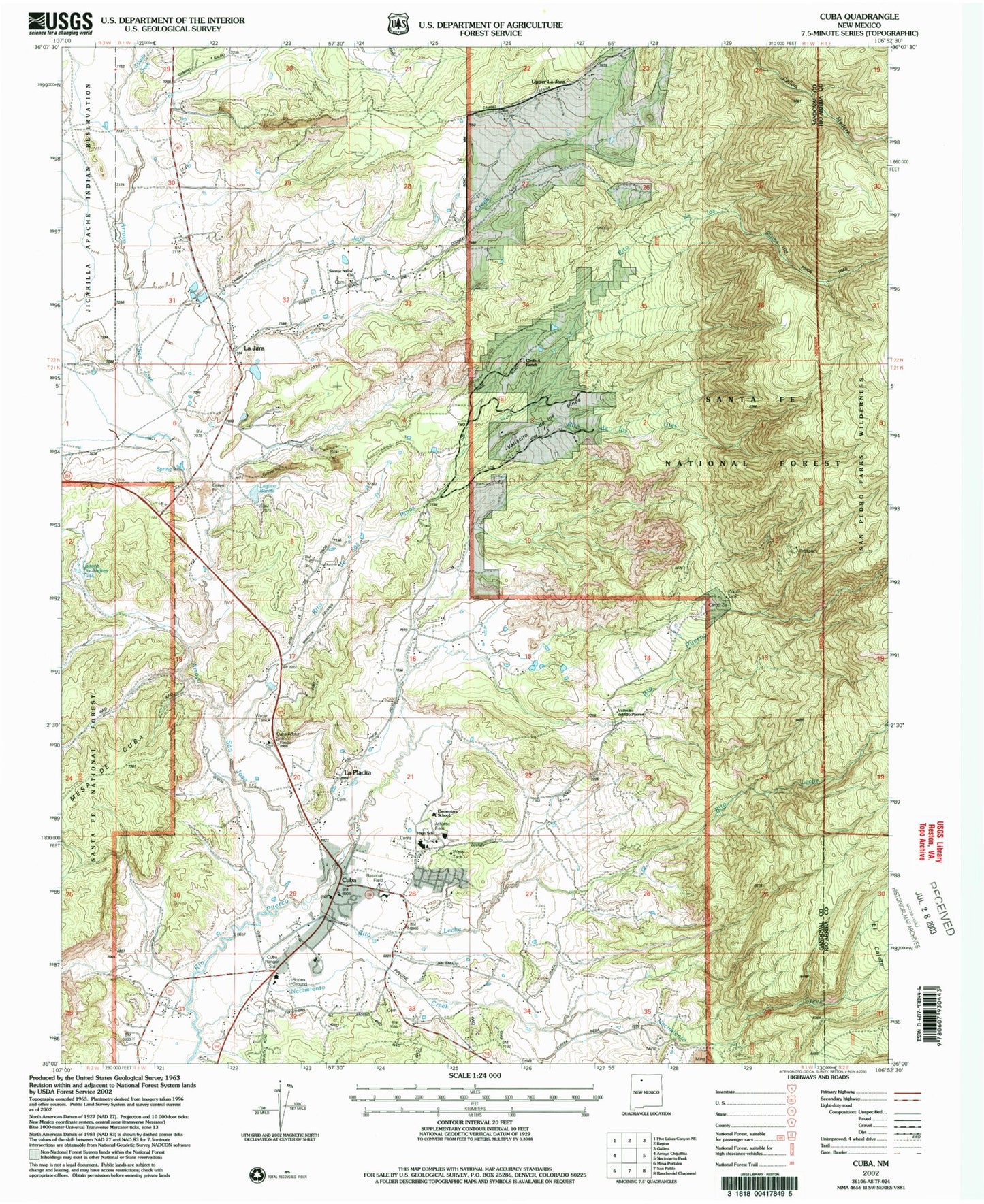
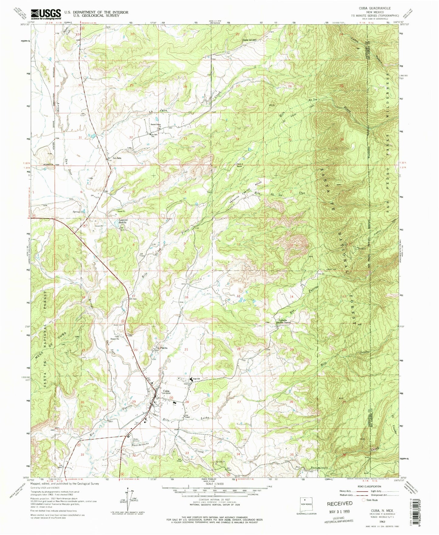
Classic USGS Cuba New Mexico 7.5'x7.5' Topo Map
Couldn't load pickup availability
Historical USGS topographic quad map of Cuba in the state of New Mexico. Typical map scale is 1:24,000, but may vary for certain years, if available. Print size: 24" x 27"
This quadrangle is in the following counties: Rio Arriba, Sandoval.
The map contains contour lines, roads, rivers, towns, and lakes. Printed on high-quality waterproof paper with UV fade-resistant inks, and shipped rolled.
Contains the following named places: Cuba District Ranger Office, Laguana Tio Andres Tank, Cuba Health Center, Rock Springs School, Copper City (historical), A Montoya Spring, Bilterrera Spring, Brodrick Spring, R D Phillips Spring, D Martinez Spring, Arroyo San Jose, Camp Zia, Circle A Ranch, Cuba Ranger Station, La Jara, La Jara Creek, La Jara School, La Placita, Laguna Bonita, Nacimiento Creek, Rito de los Pinos, Rito de los Utes, Rito Anastacio, Rito Leche, Salado Creek, Santos Ninos Church, Upper La Jara, Vallecito de los Pinos, Vallecito del Rio Puerco, W Eastlake Spring, P Gurule Spring, V McCoy Spring, Martinez Spring, Cuba Elementary School, Cuba Middle School, Cuba High School, Elena Number 6, Cuba Pit, Nacimiento Copper Mine, Cuba, Eureka Mesa Quarry, Presbyterian, Kit Carson Boy Scout Camp, Checkerboard Area Health System Library, Cuba Community Library, Cuba Presbyterian Cemetery, La Jara Cemetery, Checkerboard Area Health System, Cuba Weather Station, Ojo Encino Day School, Torreon Christian School, Immaculate Conception School, Garrison, La Jara Post Office, Cuba Post Office, Chalcocite Mine, Butler Brothers Mine, Cliff Mine, Copper City Mine, La Jara Census Designated Place, Village of Cuba, Cuba Health Center Medical Services, Cuba Volunteer Fire Department, Cuba Police Department, New Mexico State Police Station District 5 Cuba


